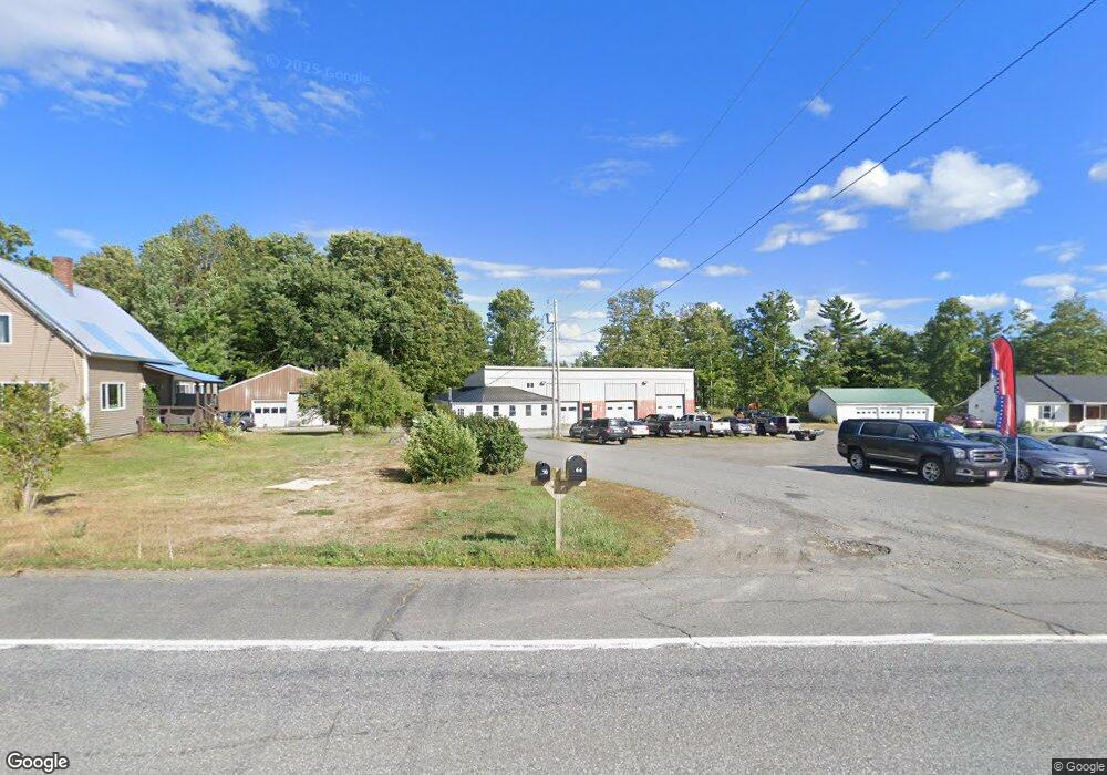
266 Newport Rd Corinna, ME 04928
Estimated Value: $300,099 - $315,000
3
Beds
2
Baths
1,848
Sq Ft
$166/Sq Ft
Est. Value
About This Home
This home is located at 266 Newport Rd, Corinna, ME 04928 and is currently estimated at $306,033, approximately $165 per square foot. 266 Newport Rd is a home located in Penobscot County with nearby schools including Sebasticook Valley Elementary School and Nokomis Regional Middle School/High School.
Ownership History
Date
Name
Owned For
Owner Type
Purchase Details
Closed on
Dec 9, 2020
Sold by
Black Ashley and Black Tyler
Bought by
C & K Perkins Hldg Llc
Current Estimated Value
Create a Home Valuation Report for This Property
The Home Valuation Report is an in-depth analysis detailing your home's value as well as a comparison with similar homes in the area
Home Values in the Area
Average Home Value in this Area
Purchase History
| Date | Buyer | Sale Price | Title Company |
|---|---|---|---|
| C & K Perkins Hldg Llc | -- | None Available |
Source: Public Records
Tax History Compared to Growth
Tax History
| Year | Tax Paid | Tax Assessment Tax Assessment Total Assessment is a certain percentage of the fair market value that is determined by local assessors to be the total taxable value of land and additions on the property. | Land | Improvement |
|---|---|---|---|---|
| 2024 | $2,988 | $151,300 | $31,000 | $120,300 |
| 2023 | $2,953 | $151,300 | $31,000 | $120,300 |
| 2022 | $3,041 | $151,300 | $31,000 | $120,300 |
| 2021 | $2,927 | $145,600 | $31,000 | $114,600 |
| 2020 | $2,946 | $147,300 | $32,700 | $114,600 |
| 2019 | $2,836 | $147,300 | $32,700 | $114,600 |
| 2018 | $2,791 | $147,300 | $32,700 | $114,600 |
| 2017 | $4,939 | $268,400 | $50,300 | $218,100 |
| 2016 | $4,912 | $268,400 | $50,300 | $218,100 |
| 2015 | $4,778 | $268,400 | $50,300 | $218,100 |
| 2014 | $4,732 | $276,700 | $50,300 | $226,400 |
| 2013 | $4,619 | $271,700 | $50,300 | $221,400 |
Source: Public Records
Map
Nearby Homes
- 263 & 265 Stetson Rd
- 37 Loon Dr
- 5,7,9 Renewal St
- Lot 2 Golf Course Cameo Sub Rd
- 281 St Albans Rd
- 43 Lachance Dr
- 53 Hope Rd
- 315 Golf Course Rd
- Lot # 31 Hope Rd
- Lot 4 Moosehead Trail
- 107 Shady Ln
- Lot 3-12 Shady Ln
- 106 Shady Ln
- 63 Grandview Dr
- 30 Grand View Dr
- 107 Barrows Point Rd
- 265 Grove St
- 277 Grove St
- 3 Canadian Geese Dr
- 16 Libby Hill Rd
- 273 Newport Rd
- 289 Newport Rd
- 229 Newport Rd
- 236 Newport Rd
- 205 Newport Rd
- 189 Newport Rd
- 24 Thunder Rd
- 169 Newport Rd
- 177 Newport Rd
- 1012 Moosehead Trail
- 960 Moosehead Trail
- 151 Newport Rd
- 143 Newport Rd
- 1017 Moosehead Trail
- 1 Maple St
- 970 Moosehead Trail
- 986 Moosehead Trail
- 994 Moosehead Trail
- 954 Moosehead Trail
- 127 Newport Rd