266 Stonegate Rd Trout Valley, IL 60013
Estimated Value: $531,189 - $721,000
5
Beds
4
Baths
2,910
Sq Ft
$218/Sq Ft
Est. Value
About This Home
This home is located at 266 Stonegate Rd, Trout Valley, IL 60013 and is currently estimated at $634,047, approximately $217 per square foot. 266 Stonegate Rd is a home located in McHenry County with nearby schools including Briargate Elementary School, Cary Jr High School, and Cary-Grove High School.
Ownership History
Date
Name
Owned For
Owner Type
Purchase Details
Closed on
Nov 21, 2008
Sold by
Haning Richard D and Haning Mary C
Bought by
Goodrich Gregory and Goodrich Veronica
Current Estimated Value
Home Financials for this Owner
Home Financials are based on the most recent Mortgage that was taken out on this home.
Original Mortgage
$400,500
Outstanding Balance
$268,041
Interest Rate
6.48%
Mortgage Type
Unknown
Estimated Equity
$366,006
Create a Home Valuation Report for This Property
The Home Valuation Report is an in-depth analysis detailing your home's value as well as a comparison with similar homes in the area
Home Values in the Area
Average Home Value in this Area
Purchase History
| Date | Buyer | Sale Price | Title Company |
|---|---|---|---|
| Goodrich Gregory | $445,000 | Cti |
Source: Public Records
Mortgage History
| Date | Status | Borrower | Loan Amount |
|---|---|---|---|
| Open | Goodrich Gregory | $400,500 |
Source: Public Records
Tax History
| Year | Tax Paid | Tax Assessment Tax Assessment Total Assessment is a certain percentage of the fair market value that is determined by local assessors to be the total taxable value of land and additions on the property. | Land | Improvement |
|---|---|---|---|---|
| 2024 | $11,674 | $146,625 | $30,169 | $116,456 |
| 2023 | $11,398 | $131,137 | $26,982 | $104,155 |
| 2022 | $11,335 | $127,058 | $34,281 | $92,777 |
| 2021 | $10,812 | $118,370 | $31,937 | $86,433 |
| 2020 | $10,496 | $114,179 | $30,806 | $83,373 |
| 2019 | $10,295 | $109,283 | $29,485 | $79,798 |
| 2018 | $9,053 | $94,477 | $21,922 | $72,555 |
| 2017 | $8,883 | $89,003 | $20,652 | $68,351 |
| 2016 | $8,821 | $83,477 | $19,370 | $64,107 |
| 2013 | -- | $106,874 | $18,070 | $88,804 |
Source: Public Records
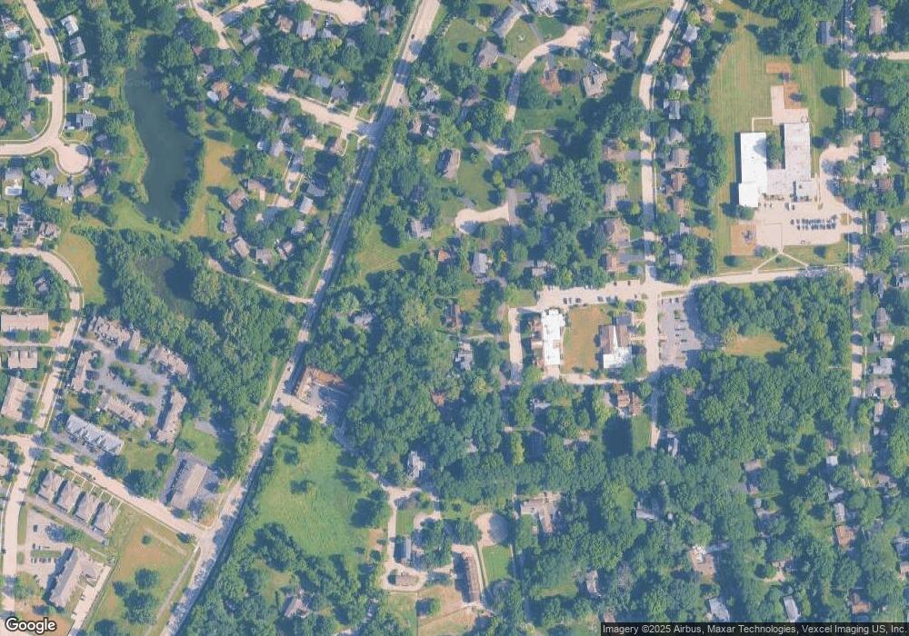
Map
Nearby Homes
- 204 Country Commons Rd
- 256 Haber Ct
- 413 Haber Rd Unit 5
- 417 Haber Rd Unit 6
- 421 Haber Rd Unit 7
- 425 Haber Rd Unit 6
- 103 S Seebert St Unit 1
- 800 Big Bear Trail
- 29 Ivanhoe Ln
- Lots 2,3,4 Northwest Hwy
- 321 Cold Spring St
- 341 Cold Spring St
- 331 Cold Spring St
- 371 Cold Spring St
- 330 Park Ave
- 550 Enclave Dr
- 440 W James Way
- 1259 Chickory Ridge Trail
- 0 Kaper Dr
- 392 W Margaret Terrace
- 267 Stonegate Rd
- 294 Bee Ct
- 295 Stonegate Rd
- 201 Cary Algonquin Rd
- 293 Bee Ct
- 268 Stonegate Rd
- 256 Stonegate Rd
- 292 Bee Ct
- 257 Stonegate Rd
- 271 Country Commons Dr
- 271 Country Commons Rd Unit F-G
- 271 Country Commons Rd Unit A-B
- 271 Country Commons Rd Unit A-B-C-D
- 271 Country Commons Rd Unit C-D
- 271 Country Commons Rd Unit G2
- 269 Stonegate Rd
- 291 Bee Ct
- 254 Stonegate Rd
- 270 Country Commons Rd
- 258 Stonegate Rd
Your Personal Tour Guide
Ask me questions while you tour the home.