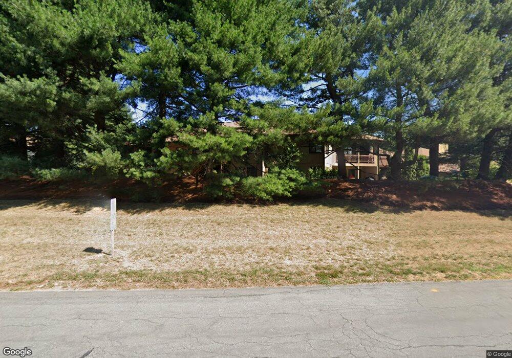
266 Trailside Way Unit 266 Ashland, MA 01721
Estimated Value: $456,904 - $488,000
2
Beds
2
Baths
1,224
Sq Ft
$388/Sq Ft
Est. Value
About This Home
This home is located at 266 Trailside Way Unit 266, Ashland, MA 01721 and is currently estimated at $474,726, approximately $387 per square foot. 266 Trailside Way Unit 266 is a home located in Middlesex County with nearby schools including William Pittaway Elementary School, Henry E. Warren Elementary School, and David Mindess Elementary School.
Ownership History
Date
Name
Owned For
Owner Type
Purchase Details
Closed on
Jan 24, 2006
Sold by
Demarzo Kathleen A and Demarzo Thomas M
Bought by
Dentremont John Erik
Current Estimated Value
Home Financials for this Owner
Home Financials are based on the most recent Mortgage that was taken out on this home.
Original Mortgage
$241,600
Outstanding Balance
$137,056
Interest Rate
6.33%
Mortgage Type
Purchase Money Mortgage
Estimated Equity
$337,670
Purchase Details
Closed on
Jun 15, 1999
Sold by
Demarzo Matthew J
Bought by
Demarzo Thomas M and Demarzo Kathleen A
Home Financials for this Owner
Home Financials are based on the most recent Mortgage that was taken out on this home.
Original Mortgage
$126,406
Interest Rate
6.9%
Mortgage Type
Purchase Money Mortgage
Create a Home Valuation Report for This Property
The Home Valuation Report is an in-depth analysis detailing your home's value as well as a comparison with similar homes in the area
Home Values in the Area
Average Home Value in this Area
Purchase History
| Date | Buyer | Sale Price | Title Company |
|---|---|---|---|
| Dentremont John Erik | $268,500 | -- | |
| Demarzo Thomas M | $137,900 | -- |
Source: Public Records
Mortgage History
| Date | Status | Borrower | Loan Amount |
|---|---|---|---|
| Open | Dentremont John Erik | $241,600 | |
| Previous Owner | Demarzo Thomas M | $25,000 | |
| Previous Owner | Demarzo Thomas M | $126,406 | |
| Previous Owner | Demarzo Thomas M | $50,000 |
Source: Public Records
Tax History Compared to Growth
Tax History
| Year | Tax Paid | Tax Assessment Tax Assessment Total Assessment is a certain percentage of the fair market value that is determined by local assessors to be the total taxable value of land and additions on the property. | Land | Improvement |
|---|---|---|---|---|
| 2025 | $5,095 | $399,000 | $0 | $399,000 |
| 2024 | $4,894 | $369,600 | $0 | $369,600 |
| 2023 | $4,888 | $355,000 | $0 | $355,000 |
| 2022 | $4,821 | $303,600 | $0 | $303,600 |
| 2021 | $4,602 | $288,864 | $0 | $288,864 |
| 2020 | $4,352 | $269,300 | $0 | $269,300 |
| 2019 | $3,946 | $242,400 | $0 | $242,400 |
| 2018 | $3,782 | $227,700 | $0 | $227,700 |
| 2017 | $3,597 | $215,400 | $0 | $215,400 |
| 2016 | $3,579 | $210,500 | $0 | $210,500 |
| 2015 | $3,494 | $201,960 | $0 | $201,960 |
| 2014 | $3,405 | $195,800 | $0 | $195,800 |
Source: Public Records
Map
Nearby Homes
- 306 Trailside Way
- 67 Spyglass Hill Dr
- 23 Spyglass Hill Dr
- 83 Spyglass Hill Dr
- 63 Trailside Way Unit 63
- 16 Sherborne Cir
- 126 Mountain Gate Rd Unit 126
- 74 Meeting House Path
- 84 Meeting House Path Unit 84
- 277 Meeting House Path
- 147 Turner Rd Unit 80
- 147 Turner Rd Unit 98
- 2 Adams Rd Unit 2
- 152 Turner Rd Unit 40
- 152 Turner Rd Unit 14
- 1 Adams Rd
- 9 Adams Rd
- 38 Turner Rd
- 199 Mohawk Path
- 17 Sewell St
- 258 Trailside Way
- 262 Trailside Way
- 266 Trailside Way
- 270 Trailside Way
- 268 Trailside Way
- 264 Trailside Way
- 260 Trailside Way
- 256 Trailside Way
- 258 Trailside Way Unit 258
- 241 Trailside Way
- 245 Trailside Way
- 247 Trailside Way
- 284 Trailside Way
- 280 Trailside Way
- 276 Trailside Way
- 272 Trailside Way
- 274 Trailside Way
- 282 Trailside Way
- 286 Trailside Way
- 276 Trailside Way Unit 276