266 Wethersfield St Rowley, MA 01969
Estimated Value: $826,983 - $1,005,000
3
Beds
3
Baths
2,990
Sq Ft
$308/Sq Ft
Est. Value
About This Home
This home is located at 266 Wethersfield St, Rowley, MA 01969 and is currently estimated at $919,746, approximately $307 per square foot. 266 Wethersfield St is a home located in Essex County with nearby schools including Triton Regional High School, North Shore Montessori School, and Clark School.
Ownership History
Date
Name
Owned For
Owner Type
Purchase Details
Closed on
Mar 16, 1987
Sold by
Harrington Scott A
Bought by
Hasselbeck Todd P
Current Estimated Value
Home Financials for this Owner
Home Financials are based on the most recent Mortgage that was taken out on this home.
Original Mortgage
$196,000
Interest Rate
9.01%
Mortgage Type
Purchase Money Mortgage
Create a Home Valuation Report for This Property
The Home Valuation Report is an in-depth analysis detailing your home's value as well as a comparison with similar homes in the area
Home Values in the Area
Average Home Value in this Area
Purchase History
| Date | Buyer | Sale Price | Title Company |
|---|---|---|---|
| Hasselbeck Todd P | $245,000 | -- |
Source: Public Records
Mortgage History
| Date | Status | Borrower | Loan Amount |
|---|---|---|---|
| Open | Hasselbeck Todd P | $200,000 | |
| Closed | Hasselbeck Todd P | $200,000 | |
| Closed | Hasselbeck Todd P | $196,000 |
Source: Public Records
Tax History
| Year | Tax Paid | Tax Assessment Tax Assessment Total Assessment is a certain percentage of the fair market value that is determined by local assessors to be the total taxable value of land and additions on the property. | Land | Improvement |
|---|---|---|---|---|
| 2025 | $8,920 | $757,900 | $281,800 | $476,100 |
| 2024 | $8,817 | $728,700 | $268,500 | $460,200 |
| 2023 | $8,604 | $660,800 | $233,500 | $427,300 |
| 2022 | $8,431 | $576,700 | $194,400 | $382,300 |
| 2021 | $8,828 | $566,600 | $169,100 | $397,500 |
| 2020 | $8,574 | $550,300 | $161,000 | $389,300 |
| 2019 | $7,553 | $514,500 | $161,000 | $353,500 |
| 2018 | $6,780 | $465,000 | $161,000 | $304,000 |
| 2017 | $6,578 | $465,200 | $161,200 | $304,000 |
| 2016 | $6,705 | $466,900 | $140,200 | $326,700 |
| 2015 | $6,750 | $474,000 | $140,200 | $333,800 |
Source: Public Records
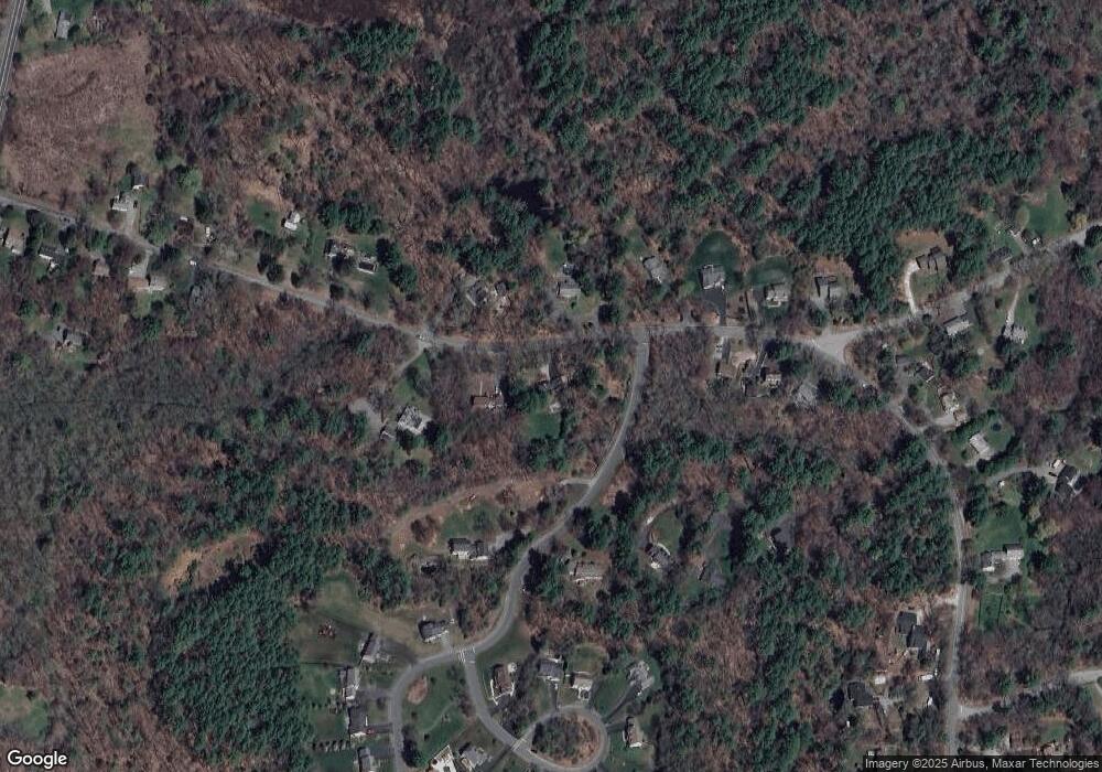
Map
Nearby Homes
- 304 & 480 Wethersfield St & Nbpt Tnpk
- 460 - 472 Newburyport Turnpike
- Lot 6 Osprey Ct
- 1 Osprey Ct
- 480 Newburyport Turnpike
- 601 Newburyport Turnpike
- 304-312 Wethersfield St
- 308 & 312 Wethersfield St
- 34 Central St Unit 2
- 34 Central St Unit 1
- 22 Taylor Ln
- 117 Kittery Ave
- 36 Caldwell Farm Rd
- 30 Christa Dr
- 76-78 Daniels Rd
- 75 Country Club Way
- 10 Choate Ln
- 12 Warren St
- 196 Country Club Way
- 6 James Rd
- 270 Wethersfield St
- 269 Wethersfield St
- 277 Wethersfield St
- 278 Wethersfield St
- 15 Wild Pasture Ln
- 15 Wild Pasture Ln
- 20 Wild Pasture Ln
- 263 Wethersfield St
- 256 Wethersfield St
- 250 Wethersfield St
- 261 Wethersfield St
- 254 Wethersfield St
- 248 Wethersfield St
- 257 Wethersfield St
- 283 Wethersfield St
- 35 Wild Pasture Ln
- 6 Arrowhead Cir
- 27 Arrowhead Cir
- 31 Arrowhead Cir
- 1 Bennett Hill Rd
Your Personal Tour Guide
Ask me questions while you tour the home.