2660 Leslie Rd Mount Airy, MD 21771
Estimated Value: $541,256 - $669,000
--
Bed
3
Baths
2,388
Sq Ft
$251/Sq Ft
Est. Value
About This Home
This home is located at 2660 Leslie Rd, Mount Airy, MD 21771 and is currently estimated at $599,564, approximately $251 per square foot. 2660 Leslie Rd is a home located in Carroll County with nearby schools including Winfield Elementary School, Mount Airy Middle School, and South Carroll High School.
Ownership History
Date
Name
Owned For
Owner Type
Purchase Details
Closed on
Feb 25, 1994
Sold by
J N D Builders Inc
Bought by
Cooper Raymond D
Current Estimated Value
Home Financials for this Owner
Home Financials are based on the most recent Mortgage that was taken out on this home.
Original Mortgage
$149,750
Interest Rate
6.96%
Purchase Details
Closed on
Jun 29, 1992
Sold by
F And D Partnership
Bought by
J N D Builders Inc
Create a Home Valuation Report for This Property
The Home Valuation Report is an in-depth analysis detailing your home's value as well as a comparison with similar homes in the area
Home Values in the Area
Average Home Value in this Area
Purchase History
| Date | Buyer | Sale Price | Title Company |
|---|---|---|---|
| Cooper Raymond D | $187,216 | -- | |
| J N D Builders Inc | $360,000 | -- | |
| F And D Partnership | $800,000 | -- |
Source: Public Records
Mortgage History
| Date | Status | Borrower | Loan Amount |
|---|---|---|---|
| Closed | Cooper Raymond D | $149,750 |
Source: Public Records
Tax History Compared to Growth
Tax History
| Year | Tax Paid | Tax Assessment Tax Assessment Total Assessment is a certain percentage of the fair market value that is determined by local assessors to be the total taxable value of land and additions on the property. | Land | Improvement |
|---|---|---|---|---|
| 2025 | $5,048 | $489,967 | $0 | $0 |
| 2024 | $5,048 | $483,000 | $180,000 | $303,000 |
| 2023 | $4,799 | $449,067 | $0 | $0 |
| 2022 | $4,559 | $415,133 | $0 | $0 |
| 2021 | $8,855 | $381,200 | $140,000 | $241,200 |
| 2020 | $4,216 | $367,767 | $0 | $0 |
| 2019 | $4,064 | $354,333 | $0 | $0 |
| 2018 | $3,877 | $340,900 | $128,100 | $212,800 |
| 2017 | $3,736 | $328,267 | $0 | $0 |
| 2016 | -- | $315,633 | $0 | $0 |
| 2015 | -- | $303,000 | $0 | $0 |
| 2014 | -- | $303,000 | $0 | $0 |
Source: Public Records
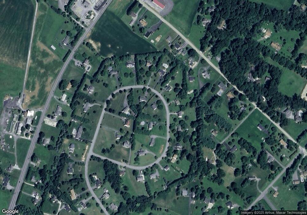
Map
Nearby Homes
- 5134 Perry Rd
- 4328 Ridge Rd Unit 13
- 5164 Perry Rd
- 2990 Honeywood Dr
- 2613 Liberty Rd
- 4950 Crocus Rd
- 4828 Ridge Rd
- 2210 Skylark Dr
- 2815 Gillis Rd
- 4950 Fleming Rd
- 2262 Cherokee Dr
- 3008 Arapaho Ct
- 5307 Pommel Dr
- 5415 Ridge Rd
- 3870 Roop Rd
- 5345 Pommel Dr
- 3319 Mail Rd
- 3720 Buffalo Rd
- 3174 Cardinal Dr
- 0 Cabbage Spring Rd
- 2670 Leslie Rd
- 2656 Leslie Rd
- 2665 Leslie Rd
- 2661 Leslie Rd
- 2669 Leslie Rd
- 2648 Leslie Rd
- 2650 Leslie Rd
- 2680 Leslie Rd
- 2671 Leslie Rd
- 2657 Leslie Rd
- 2675 Leslie Rd
- 2646 Leslie Rd
- 2604 Braddock Rd
- 2655 Leslie Rd
- 2694 Leslie Rd
- 2679 Leslie Rd
- 2651 Leslie Rd
- 2516 Braddock Rd
- 2681 Leslie Rd
- 2606 Braddock Rd