26602 Calhoun Rd Shady Point, OK 74956
Estimated Value: $191,000 - $306,000
3
Beds
2
Baths
1,846
Sq Ft
$134/Sq Ft
Est. Value
About This Home
This home is located at 26602 Calhoun Rd, Shady Point, OK 74956 and is currently estimated at $247,792, approximately $134 per square foot. 26602 Calhoun Rd is a home located in Le Flore County with nearby schools including Panama Middle School and Panama High School.
Ownership History
Date
Name
Owned For
Owner Type
Purchase Details
Closed on
Aug 13, 2009
Sold by
Buck Land Investments Llc
Bought by
Ludwig Gary and Ludwig Wanda
Current Estimated Value
Purchase Details
Closed on
Mar 3, 2009
Sold by
Johnson Thomas C and Johnson Tracey
Bought by
Buck Land Investment Llc
Home Financials for this Owner
Home Financials are based on the most recent Mortgage that was taken out on this home.
Original Mortgage
$89,440
Interest Rate
5.36%
Mortgage Type
Future Advance Clause Open End Mortgage
Create a Home Valuation Report for This Property
The Home Valuation Report is an in-depth analysis detailing your home's value as well as a comparison with similar homes in the area
Purchase History
| Date | Buyer | Sale Price | Title Company |
|---|---|---|---|
| Ludwig Gary | $150,000 | -- | |
| Buck Land Investment Llc | $87,500 | -- |
Source: Public Records
Mortgage History
| Date | Status | Borrower | Loan Amount |
|---|---|---|---|
| Previous Owner | Buck Land Investment Llc | $89,440 |
Source: Public Records
Tax History
| Year | Tax Paid | Tax Assessment Tax Assessment Total Assessment is a certain percentage of the fair market value that is determined by local assessors to be the total taxable value of land and additions on the property. | Land | Improvement |
|---|---|---|---|---|
| 2025 | -- | $19,242 | $1,869 | $17,373 |
| 2023 | $1,581 | $18,138 | $982 | $17,156 |
| 2022 | $1,521 | $17,610 | $982 | $16,628 |
| 2021 | $1,765 | $20,264 | $1,314 | $18,950 |
| 2020 | $1,654 | $20,507 | $1,314 | $19,193 |
| 2019 | $1,822 | $20,934 | $1,249 | $19,685 |
| 2018 | $1,732 | $20,325 | $1,258 | $19,067 |
| 2017 | $1,740 | $19,733 | $1,207 | $18,526 |
| 2016 | $1,637 | $19,159 | $1,147 | $18,012 |
| 2015 | $1,417 | $18,246 | $1,247 | $16,999 |
| 2014 | $1,354 | $17,377 | $1,175 | $16,202 |
Source: Public Records
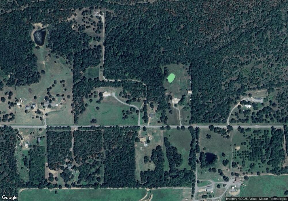
Map
Nearby Homes
- TBD N 4620
- 00 Latham Rd
- TBD Wildwood Ln
- 26239 Calhoun Rd
- Tract 3 Wildwood Ln
- Tract 2 Wildwood Ln
- Tract 1 Wildwood Ln
- TBA Wildwood Ln Unit 11
- TBA Wildwood Ln Unit 10
- 0 Calhoun Rd Unit 2607037
- 00 County Road E 1290
- Tract 2 Buck Creek Rd
- 30 ac Buck Creek Rd
- 53 County Road E 1290
- 0 County Road E 1290 Unit 1087450
- Tract 3 Buck Creek Rd
- TBD 330th
- 27071 Hayes Ln
- 23275 Smith Rd
- 27068 Hunter Ln
- 26599 Calhoun Rd
- 26516 Calhoun Rd
- 26805 Calhoun Rd
- 26853 Calhoun Rd
- 26608 Calhoun Rd
- 26798 Calhoun Rd
- 26485 Calhoun Rd
- 26416 Calhoun Rd
- TBD Roy Monks Dr
- 26867 282nd St
- 26305 Calhoun Rd
- 27057 Calhoun Rd
- 26244 Calhoun Rd
- 28246 Roy Monks Dr
- 27060 Calhoun Rd
- 27207 Calhoun Rd
- 26583 280th St
- 27383 Calhoun Rd
- 27521 Calhoun Rd
- 26083 Calhoun Rd
Your Personal Tour Guide
Ask me questions while you tour the home.