26603 55 1 2 St Bangor, MI 49013
Estimated Value: $259,000 - $453,000
3
Beds
2
Baths
1,568
Sq Ft
$215/Sq Ft
Est. Value
About This Home
This home is located at 26603 55 1 2 St, Bangor, MI 49013 and is currently estimated at $337,286, approximately $215 per square foot. 26603 55 1 2 St is a home located in Van Buren County with nearby schools including South Walnut Elementary School, Bangor Middle School, and Bangor High School.
Ownership History
Date
Name
Owned For
Owner Type
Purchase Details
Closed on
Nov 11, 2022
Sold by
Thompson Gary G and Thompson Rochelle M
Bought by
Thompson Family Protection Trust
Current Estimated Value
Purchase Details
Closed on
Oct 26, 2017
Sold by
Munson Jacob M
Bought by
Thompson Gary and Thompson Rochelle
Home Financials for this Owner
Home Financials are based on the most recent Mortgage that was taken out on this home.
Original Mortgage
$128,000
Interest Rate
3.83%
Mortgage Type
Future Advance Clause Open End Mortgage
Purchase Details
Closed on
May 4, 2012
Sold by
Munson Lynn I and Munson Sandra R
Bought by
Munson Lynn Ira and Lynn Ira Munson Living Trust
Create a Home Valuation Report for This Property
The Home Valuation Report is an in-depth analysis detailing your home's value as well as a comparison with similar homes in the area
Home Values in the Area
Average Home Value in this Area
Purchase History
| Date | Buyer | Sale Price | Title Company |
|---|---|---|---|
| Thompson Family Protection Trust | -- | -- | |
| Thompson Gary G | -- | -- | |
| Thompson Gary | $16,000 | None Available | |
| Munson Lynn Ira | -- | None Available |
Source: Public Records
Mortgage History
| Date | Status | Borrower | Loan Amount |
|---|---|---|---|
| Previous Owner | Thompson Gary | $128,000 |
Source: Public Records
Tax History Compared to Growth
Tax History
| Year | Tax Paid | Tax Assessment Tax Assessment Total Assessment is a certain percentage of the fair market value that is determined by local assessors to be the total taxable value of land and additions on the property. | Land | Improvement |
|---|---|---|---|---|
| 2025 | $2,723 | $142,500 | $0 | $0 |
| 2024 | $890 | $143,900 | $0 | $0 |
| 2023 | $848 | $132,100 | $0 | $0 |
| 2022 | $2,411 | $111,900 | $0 | $0 |
| 2021 | $2,367 | $84,900 | $20,400 | $64,500 |
| 2020 | $2,337 | $84,900 | $20,400 | $64,500 |
| 2019 | $2,227 | $71,800 | $34,600 | $37,200 |
| 2018 | $2,189 | $70,100 | $70,100 | $0 |
| 2017 | $1,532 | $52,700 | $0 | $0 |
| 2016 | $1,521 | $57,500 | $0 | $0 |
| 2015 | $1,436 | $57,500 | $0 | $0 |
| 2014 | $1,410 | $57,300 | $0 | $0 |
| 2013 | -- | $52,500 | $52,500 | $0 |
Source: Public Records
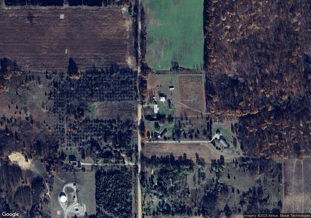
Map
Nearby Homes
- 33011 60th St
- 1110 N Center St
- 201 Randolph St
- 1021 1st St
- 0 S M 43 Hwy
- V/L S M 43 Hwy
- 52931 30th Ave
- 52466 28th Ave
- 603 Joy St
- 1417 Greenhouse Rd Unit 2
- 0 Main St Unit 10644296
- 52755 Michigan 43
- 50 W Main St
- 50 N Pine St
- 840 Black River Rd
- 602 Lafler St
- 702 W Arlington St
- 25161 59 1 2 St
- 22679 52nd St
- 34721 52nd St
- 26603 55 1/2 St
- 26761 55 1 2 St
- 26761 55 1/2 St
- 0 55 1 2 St Unit 7010188
- 3 55 1 2 St
- 2 55 1 2 St
- 1 55 1 2 St
- 26960 55 1/2 St
- 27093 55 1/2 St
- 27225 55 1/2 St
- 26986 55 1/2 St
- 25810 55 1/2 St
- 25660 55 1/2 St
- 27220 55 1/2 St
- 25681 55 1/2 St
- 25558 55 1/2 St
- 27681 55 1/2 St
- 25600 55 1 2 St
- 55760 28th Ave
- 31375 52nd St