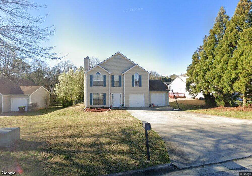
2661 Deann Dr Unit 1 Ellenwood, GA 30294
Estimated Value: $235,000 - $278,000
3
Beds
3
Baths
1,516
Sq Ft
$166/Sq Ft
Est. Value
About This Home
This home is located at 2661 Deann Dr Unit 1, Ellenwood, GA 30294 and is currently estimated at $252,337, approximately $166 per square foot. 2661 Deann Dr Unit 1 is a home located in Clayton County with nearby schools including Thurgood Marshall Elementary School, Morrow Middle School, and Morrow High School.
Ownership History
Date
Name
Owned For
Owner Type
Purchase Details
Closed on
Sep 29, 2000
Sold by
Gt Architecture Contractors Corp
Bought by
Cotton Emory L
Current Estimated Value
Home Financials for this Owner
Home Financials are based on the most recent Mortgage that was taken out on this home.
Original Mortgage
$112,699
Outstanding Balance
$41,071
Interest Rate
7.91%
Mortgage Type
VA
Estimated Equity
$211,266
Create a Home Valuation Report for This Property
The Home Valuation Report is an in-depth analysis detailing your home's value as well as a comparison with similar homes in the area
Home Values in the Area
Average Home Value in this Area
Purchase History
| Date | Buyer | Sale Price | Title Company |
|---|---|---|---|
| Cotton Emory L | $110,500 | -- |
Source: Public Records
Mortgage History
| Date | Status | Borrower | Loan Amount |
|---|---|---|---|
| Open | Cotton Emory L | $112,699 |
Source: Public Records
Tax History Compared to Growth
Tax History
| Year | Tax Paid | Tax Assessment Tax Assessment Total Assessment is a certain percentage of the fair market value that is determined by local assessors to be the total taxable value of land and additions on the property. | Land | Improvement |
|---|---|---|---|---|
| 2024 | $3,257 | $92,520 | $8,800 | $83,720 |
| 2023 | $3,247 | $89,920 | $8,800 | $81,120 |
| 2022 | $2,487 | $72,400 | $8,800 | $63,600 |
| 2021 | $2,011 | $59,960 | $8,800 | $51,160 |
| 2020 | $1,991 | $58,828 | $8,800 | $50,028 |
| 2019 | $1,853 | $54,699 | $6,400 | $48,299 |
| 2018 | $1,443 | $44,600 | $6,400 | $38,200 |
| 2017 | $1,127 | $36,760 | $6,400 | $30,360 |
| 2016 | $692 | $26,070 | $6,400 | $19,670 |
| 2015 | $690 | $0 | $0 | $0 |
| 2014 | $633 | $24,932 | $6,400 | $18,532 |
Source: Public Records
Map
Nearby Homes
- 2635 Luke Dr
- 5753 Gum Ct
- 0 Old Rex Morrow Rd Unit 7659496
- 0 Old Rex Morrow Rd Unit 10616003
- 5712 Wesson Dr Unit 2
- 5790 Twain Dr
- 2850 Amerson Trail
- 5871 Dan Dr
- 2436 Rex Rd
- 2382 Old Rex Morrow Rd
- 0 Poplar Ave Unit 10580022
- 0 Poplar Ave Unit 10481115
- 0 Poplar Ave Unit 7543163
- 5838 Highway 42
- 2811 Appaloosa Run
- 2820 Rex Rd
- 2276 Santa fe St Unit 19
- 6020 Cristie Dr
- 2272 Santa fe St Unit 21
- 2247 Cypress Ave
- 2669 Deann Dr
- 2653 Deann Dr
- 547 Brenston Ct Unit 33
- 0 Brenston Ct Unit 7243115
- 0 Brenston Ct Unit 7397971
- 0 Brenston Ct Unit 3125634
- 0 Brenston Ct Unit 8766404
- 0 Brenston Ct Unit 7403193
- 2673 Deann Dr
- 2666 Deann Dr Unit 2
- 2679 Deann Dr
- 543 Brenston Ct Unit 1
- 2650 Deann Dr
- 525 Brenston Ct Unit 1
- 517 Brenston Ct
- 533 Brenston Ct
- 2687 Deann Dr
- 2642 Deann Dr Unit 1
- 2690 Lolli Ct Unit 2
- 539 Brenston Ct Unit 1