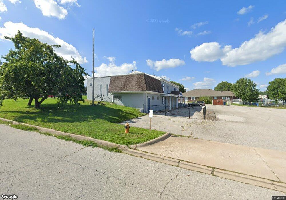
2661 S Hub Dr Independence, MO 64055
Glendale NeighborhoodEstimated Value: $363,353
Studio
--
Bath
960
Sq Ft
$378/Sq Ft
Est. Value
About This Home
This home is located at 2661 S Hub Dr, Independence, MO 64055 and is currently estimated at $363,353, approximately $378 per square foot. 2661 S Hub Dr is a home located in Jackson County with nearby schools including Glendale Elementary School, Bridger Middle School, and Pioneer Ridge Middle School.
Ownership History
Date
Name
Owned For
Owner Type
Purchase Details
Closed on
Apr 30, 2018
Sold by
Cheung Philip W Y and Cheung Petty L F
Bought by
Presler Aaron and Presler Sallie
Current Estimated Value
Home Financials for this Owner
Home Financials are based on the most recent Mortgage that was taken out on this home.
Original Mortgage
$40,000
Outstanding Balance
$23,519
Interest Rate
4.45%
Mortgage Type
New Conventional
Estimated Equity
$339,834
Create a Home Valuation Report for This Property
The Home Valuation Report is an in-depth analysis detailing your home's value as well as a comparison with similar homes in the area
Home Values in the Area
Average Home Value in this Area
Purchase History
| Date | Buyer | Sale Price | Title Company |
|---|---|---|---|
| Presler Aaron | -- | Alpha Title Guaranty Inc |
Source: Public Records
Mortgage History
| Date | Status | Borrower | Loan Amount |
|---|---|---|---|
| Open | Presler Aaron | $40,000 |
Source: Public Records
Tax History
| Year | Tax Paid | Tax Assessment Tax Assessment Total Assessment is a certain percentage of the fair market value that is determined by local assessors to be the total taxable value of land and additions on the property. | Land | Improvement |
|---|---|---|---|---|
| 2025 | $10,708 | $143,360 | $71,894 | $71,466 |
| 2024 | $10,506 | $128,000 | $64,192 | $63,808 |
| 2023 | $10,506 | $128,000 | $64,192 | $63,808 |
| 2022 | $9,035 | $102,400 | $51,360 | $51,040 |
| 2021 | $9,032 | $102,400 | $51,360 | $51,040 |
| 2020 | $8,788 | $97,248 | $51,360 | $45,888 |
| 2019 | $8,669 | $97,248 | $51,360 | $45,888 |
| 2018 | $4,737 | $51,101 | $34,237 | $16,864 |
| 2017 | $4,737 | $51,101 | $34,237 | $16,864 |
| 2016 | $3,962 | $42,384 | $26,336 | $16,048 |
Source: Public Records
Map
Nearby Homes
- 2417 S Ellison Way
- 0 Multi Address N A Unit HMS2588688
- 2608 Baker Rd
- 2816 Berry Ln
- 2824 Berry Ln
- 2900 S M 291 Hwy
- 16403 E Ellison Way
- 17504 E R D Mize Rd
- 16600 E 31st St S
- 3105 Porter Rd
- 16409 E 31st St S
- 15917 E 29th Street Ct S
- 17813 E 26th St S
- 3011 Cedar Crest Dr Unit B
- 2100 James Downey Rd
- 2100 & 2105 S Ellison Way
- 16824 E 31st St S
- 2724 S Woodbury Dr
- 2705 S Haden Ct
- 17201 E 32nd St S Unit 9
- 2650 S Hub Dr
- 0 S Hub Dr
- 16700 E Gudgell Rd
- 16615 E Gudgell Rd Unit B
- 16615 E Gudgell Rd Unit D
- 16615 E Gudgell Rd Unit C
- 16615 E Gudgell Rd Unit A
- 16615 E Gudgell Rd
- 2609 S Peck #C Ct
- 2609 S Peck Ct Unit C
- 2609 S Peck Ct Unit A
- 2609 S Peck Ct Unit B
- 2609 S Peck Ct Unit D
- 2611 S Peck Ct Unit C
- 2611 S Peck Ct Unit B
- 2611 S Peck Ct Unit D
- 2611 S Peck Ct Unit A
- 2611 S Peck Ct
- 2620 S Hub Dr
- 2605 S Peck Ct
Your Personal Tour Guide
Ask me questions while you tour the home.