2661 State Highway 150 S Evanston, WY 82930
Estimated Value: $509,000 - $632,000
6
Beds
3
Baths
4,424
Sq Ft
$129/Sq Ft
Est. Value
About This Home
This home is located at 2661 State Highway 150 S, Evanston, WY 82930 and is currently estimated at $570,891, approximately $129 per square foot. 2661 State Highway 150 S is a home located in Uinta County with nearby schools including Evanston High School and Evanston Child Development Center.
Ownership History
Date
Name
Owned For
Owner Type
Purchase Details
Closed on
Nov 19, 2024
Sold by
Old Stubborn Mule Llc
Bought by
Ar Properties 1 Llc
Current Estimated Value
Home Financials for this Owner
Home Financials are based on the most recent Mortgage that was taken out on this home.
Original Mortgage
$425,000
Outstanding Balance
$421,093
Interest Rate
6.54%
Mortgage Type
New Conventional
Estimated Equity
$149,798
Create a Home Valuation Report for This Property
The Home Valuation Report is an in-depth analysis detailing your home's value as well as a comparison with similar homes in the area
Home Values in the Area
Average Home Value in this Area
Purchase History
| Date | Buyer | Sale Price | Title Company |
|---|---|---|---|
| Ar Properties 1 Llc | -- | None Listed On Document |
Source: Public Records
Mortgage History
| Date | Status | Borrower | Loan Amount |
|---|---|---|---|
| Open | Ar Properties 1 Llc | $425,000 |
Source: Public Records
Tax History Compared to Growth
Tax History
| Year | Tax Paid | Tax Assessment Tax Assessment Total Assessment is a certain percentage of the fair market value that is determined by local assessors to be the total taxable value of land and additions on the property. | Land | Improvement |
|---|---|---|---|---|
| 2025 | $2,694 | $40,202 | $2,235 | $37,967 |
| 2024 | $2,694 | $42,785 | $3,004 | $39,781 |
| 2023 | $2,586 | $41,279 | $3,003 | $38,276 |
| 2022 | $2,760 | $43,763 | $2,461 | $41,302 |
| 2021 | $2,335 | $37,263 | $2,958 | $34,305 |
| 2020 | $2,392 | $38,185 | $2,872 | $35,313 |
| 2019 | $2,309 | $36,936 | $2,872 | $34,064 |
| 2018 | $0 | $26,265 | $3,331 | $22,934 |
| 2017 | $1,604 | $25,681 | $3,029 | $22,652 |
| 2016 | $1,598 | $25,570 | $3,029 | $22,541 |
| 2015 | -- | $19,267 | $3,696 | $15,571 |
| 2014 | -- | $19,045 | $0 | $0 |
Source: Public Records
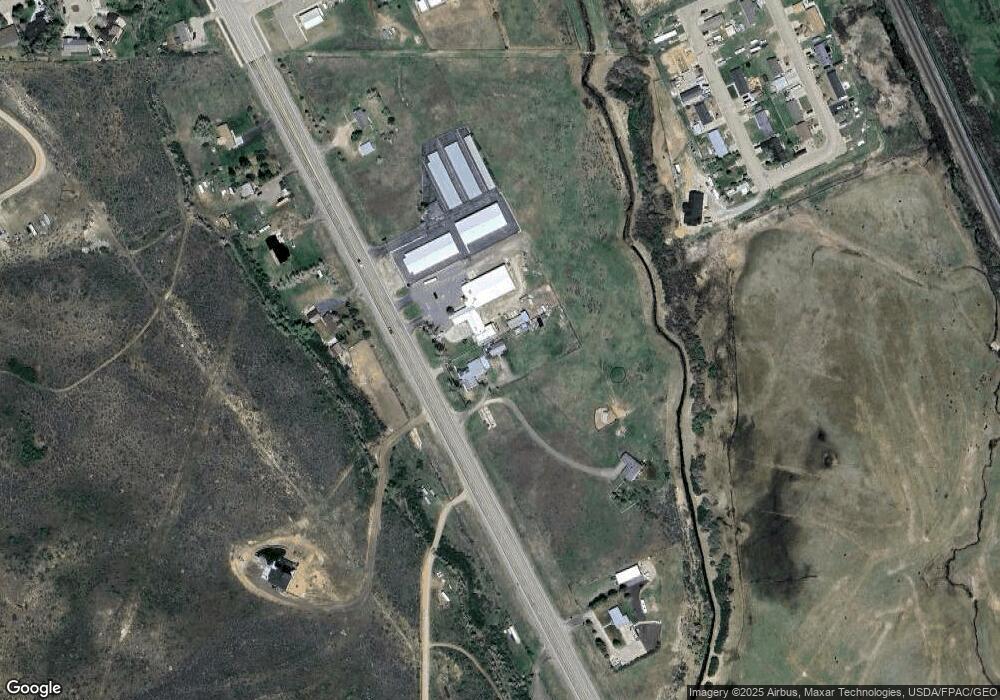
Map
Nearby Homes
- 200 S Valley Lot 12 Dr
- 200 S Valley Lot 7 Dr
- 132 Silver Sage Dr
- 130 Silver Sage Dr
- 113 Butterfield Rd
- 240 Darby Ln
- 260 Darby Ln
- 149 Toponce Dr
- 132 Skyline Dr
- 66 Aspen Grove Dr W
- 106 Grandview
- 104 Windy Ridge Ct
- 104 Canyon Hollow Dr
- 155 Highridge Point
- 46 City View Dr
- 4137 State Hwy
- 413 Crane Ave
- 427 Thayer Cir
- 223 Barber Ave
- 221 Barber Ave
- 2676 State Highway 150 S
- 2625 State 150
- 2625 State Highway 150 S
- 2631 State 150
- 2600 State Highway 150 S
- 2691 State Highway 150 S
- 2548 State Highway 150 S
- 2817 State Highway 150 S
- 2519 State Highway 150 S
- 2520 State Highway 150 S
- 645 Knotty Pine Dr
- 635 Knotty Pine Dr
- 625 Knotty Pine Dr
- 2816 State Highway 150 S
- 2492 State Highway 150 S
- 650 Knotty Pine Dr
- 640 Knotty Pine Dr
- 630 Knotty Pine Dr
- 45 Straight and Narrow Dr
- 645 Grass Valley Dr