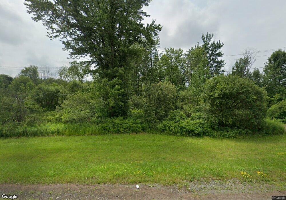
2661 State Route 69 Parish, NY 13131
Estimated Value: $149,617 - $238,000
3
Beds
2
Baths
1,560
Sq Ft
$111/Sq Ft
Est. Value
About This Home
This home is located at 2661 State Route 69, Parish, NY 13131 and is currently estimated at $172,904, approximately $110 per square foot. 2661 State Route 69 is a home located in Oswego County with nearby schools including Altmar-Parish-Williamstown Elementary School and Altmar-Parish-Williamstown Junior/Senior High School.
Ownership History
Date
Name
Owned For
Owner Type
Purchase Details
Closed on
Sep 6, 2022
Sold by
Limestone Ridge Llc
Bought by
Crump Danielle
Current Estimated Value
Home Financials for this Owner
Home Financials are based on the most recent Mortgage that was taken out on this home.
Original Mortgage
$88,682
Outstanding Balance
$84,970
Interest Rate
5.62%
Mortgage Type
FHA
Estimated Equity
$87,934
Purchase Details
Closed on
Oct 10, 2002
Sold by
Beirman Robert L and Beirman Shannon M
Bought by
Shoop Toni
Purchase Details
Closed on
Sep 6, 1996
Sold by
Fleming Vernon Trau and Fleming Betty Jo
Bought by
Beirman Robert and Laprate Shannon M
Purchase Details
Closed on
Mar 10, 1995
Sold by
Fleming Vernon Trau Fleming Be
Bought by
Montclair Clarence and Montclair Paula
Create a Home Valuation Report for This Property
The Home Valuation Report is an in-depth analysis detailing your home's value as well as a comparison with similar homes in the area
Home Values in the Area
Average Home Value in this Area
Purchase History
| Date | Buyer | Sale Price | Title Company |
|---|---|---|---|
| Crump Danielle | $90,500 | Vanguard Research & Ttl Svcs | |
| Crump Danielle | $90,500 | Vanguard Research & Ttl Svcs | |
| Shoop Toni | $67,500 | -- | |
| Shoop Toni | $67,500 | -- | |
| Beirman Robert | $54,900 | -- | |
| Beirman Robert | $54,900 | -- | |
| Montclair Clarence | $300 | -- | |
| Montclair Clarence | $300 | -- |
Source: Public Records
Mortgage History
| Date | Status | Borrower | Loan Amount |
|---|---|---|---|
| Open | Crump Danielle | $88,682 | |
| Closed | Crump Danielle | $88,682 |
Source: Public Records
Tax History Compared to Growth
Tax History
| Year | Tax Paid | Tax Assessment Tax Assessment Total Assessment is a certain percentage of the fair market value that is determined by local assessors to be the total taxable value of land and additions on the property. | Land | Improvement |
|---|---|---|---|---|
| 2024 | $2,705 | $80,200 | $24,800 | $55,400 |
| 2023 | $2,701 | $80,200 | $24,800 | $55,400 |
| 2022 | $2,705 | $80,200 | $24,800 | $55,400 |
| 2021 | $2,734 | $80,200 | $24,800 | $55,400 |
| 2020 | $2,722 | $80,200 | $24,800 | $55,400 |
| 2019 | $2,654 | $80,200 | $24,800 | $55,400 |
| 2018 | $2,654 | $80,200 | $24,800 | $55,400 |
| 2017 | $2,592 | $80,200 | $24,800 | $55,400 |
| 2016 | $1,340 | $80,200 | $24,800 | $55,400 |
| 2015 | -- | $80,200 | $24,800 | $55,400 |
| 2014 | -- | $85,200 | $24,800 | $60,400 |
Source: Public Records
Map
Nearby Homes
- 2647 State Route 69
- 2634 State Route 69
- 325 White Rd
- 0 White Rd
- Off New York 69
- 296 White Rd
- 11 Carr Dr
- 2690 County Route 26
- 15 Montgomery St
- 0 Keppy Carr Rd Unit S1618862
- 14 County Route 22
- 21 Huested Dr
- 559 County Route 38
- 238 Bidwell Rd
- 2393 County Route 26
- 510 Kipp Rd
- 146 Bangall Rd
- 59 Lindsey Ln
- 3219 State Route 69
- 0 Voorhees Rd
- 2669 State Route 69 Unit 75
- 2669 State Route 69
- 2689 State Route 69
- 2680 State Route 69
- 2627 State Route 69
- 2656 State Route 69
- 2644 State Route 69
- 2692 State Route 69
- 2706 State Route 69
- 2729 State Route 69
- 2577 State Route 69
- 2102 County Route 11
- 2080 County Route 11
- 2080 Us Route 11
- 2060 County Route 11
- 2070 County Route 11
- 2040 County Route 11
- 2056 County Route 11
- 2046 County Route 11
- 2563 State Route 69
