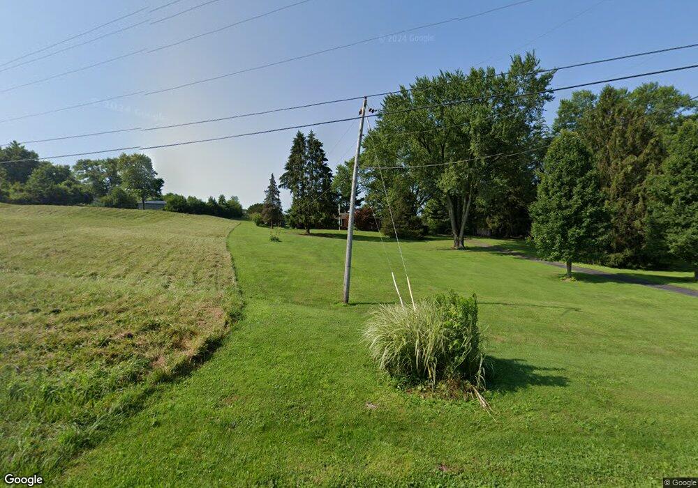
2661 W Possum Rd Springfield, OH 45506
Estimated Value: $269,000 - $365,000
4
Beds
1
Bath
2,183
Sq Ft
$141/Sq Ft
Est. Value
About This Home
This home is located at 2661 W Possum Rd, Springfield, OH 45506 and is currently estimated at $307,709, approximately $140 per square foot. 2661 W Possum Rd is a home located in Clark County with nearby schools including Possum Elementary School, Shawnee Middle School/High School, and Clark Preparatory Academy.
Ownership History
Date
Name
Owned For
Owner Type
Purchase Details
Closed on
Jun 9, 2025
Sold by
Cutlip Melinda L
Bought by
Melinda L Cutlip Preservation Trust and Castle
Current Estimated Value
Purchase Details
Closed on
Nov 14, 2024
Sold by
Cutlip Melinda L and Cutlip Earl L
Bought by
Cutlip Melinda L
Purchase Details
Closed on
May 16, 2003
Sold by
Fuller Joseph J and Fuller Teresa A
Bought by
Cutlip Earl L and Cutlip Melinda L
Home Financials for this Owner
Home Financials are based on the most recent Mortgage that was taken out on this home.
Original Mortgage
$123,200
Interest Rate
5.87%
Mortgage Type
Purchase Money Mortgage
Create a Home Valuation Report for This Property
The Home Valuation Report is an in-depth analysis detailing your home's value as well as a comparison with similar homes in the area
Home Values in the Area
Average Home Value in this Area
Purchase History
| Date | Buyer | Sale Price | Title Company |
|---|---|---|---|
| Melinda L Cutlip Preservation Trust | -- | None Listed On Document | |
| Melinda L Cutlip Preservation Trust | -- | None Listed On Document | |
| Cutlip Melinda L | -- | None Listed On Document | |
| Cutlip Melinda L | -- | None Listed On Document | |
| Cutlip Earl L | $154,000 | -- |
Source: Public Records
Mortgage History
| Date | Status | Borrower | Loan Amount |
|---|---|---|---|
| Previous Owner | Cutlip Earl L | $123,200 | |
| Closed | Cutlip Earl L | $23,100 |
Source: Public Records
Tax History Compared to Growth
Tax History
| Year | Tax Paid | Tax Assessment Tax Assessment Total Assessment is a certain percentage of the fair market value that is determined by local assessors to be the total taxable value of land and additions on the property. | Land | Improvement |
|---|---|---|---|---|
| 2025 | $3,096 | $89,680 | $18,610 | $71,070 |
| 2024 | $3,047 | $71,520 | $13,480 | $58,040 |
| 2023 | $3,047 | $71,520 | $13,480 | $58,040 |
| 2022 | $3,042 | $71,520 | $13,480 | $58,040 |
| 2021 | $2,555 | $55,940 | $10,440 | $45,500 |
| 2020 | $2,576 | $55,940 | $10,440 | $45,500 |
| 2019 | $2,616 | $55,940 | $10,440 | $45,500 |
| 2018 | $2,838 | $50,500 | $9,500 | $41,000 |
| 2017 | $2,909 | $50,495 | $9,496 | $40,999 |
| 2016 | $2,624 | $50,495 | $9,496 | $40,999 |
| 2015 | $2,633 | $48,962 | $9,496 | $39,466 |
| 2014 | $2,640 | $48,962 | $9,496 | $39,466 |
| 2013 | $2,294 | $48,962 | $9,496 | $39,466 |
Source: Public Records
Map
Nearby Homes
- 2301 Duquesne Dr
- 1515 W Perrin Ave
- 1213 Driscoll Ave
- 1109 Montgomery Ave
- 1487 Lucas Dr
- 1290 Red Oaks Cir
- 0 Montgomery Ave
- 2642 Springfield Xenia Rd
- 929 S Western Ave
- 924 W State St
- 2775 Hemlock Dr
- 1618 W Pleasant St
- 418 Dayton Ave Unit 420
- 830 Dibert Ave
- 1207 W Pleasant St
- 1730 Damascus Ave
- 1230 W Pleasant St
- 642 W Euclid Ave
- 506 W Southern Ave
- 409 W Southern Ave
- 2671 W Possum Rd
- 2591 W Possum Rd
- 2455 W Possum Rd
- 2450 W Possum Rd
- 2440 W Possum Rd
- 2212 Old Arthur Rd
- 2425 W Possum Rd
- 2230 Rebert Pike
- 2010 Rebert Pike
- 2072 Rebert Pike
- 1996 Rebert Pike
- 2400 W Possum Rd
- 0 Old Arthur Rd
- 2262 Old Arthur Rd
- 2355 W Possum Rd
- 2369 Old Arthur Rd
- 2075 Rebert Pike
- 2370 W Possum Rd
- 2351 W Possum Rd
- 1986 Rebert Pike
