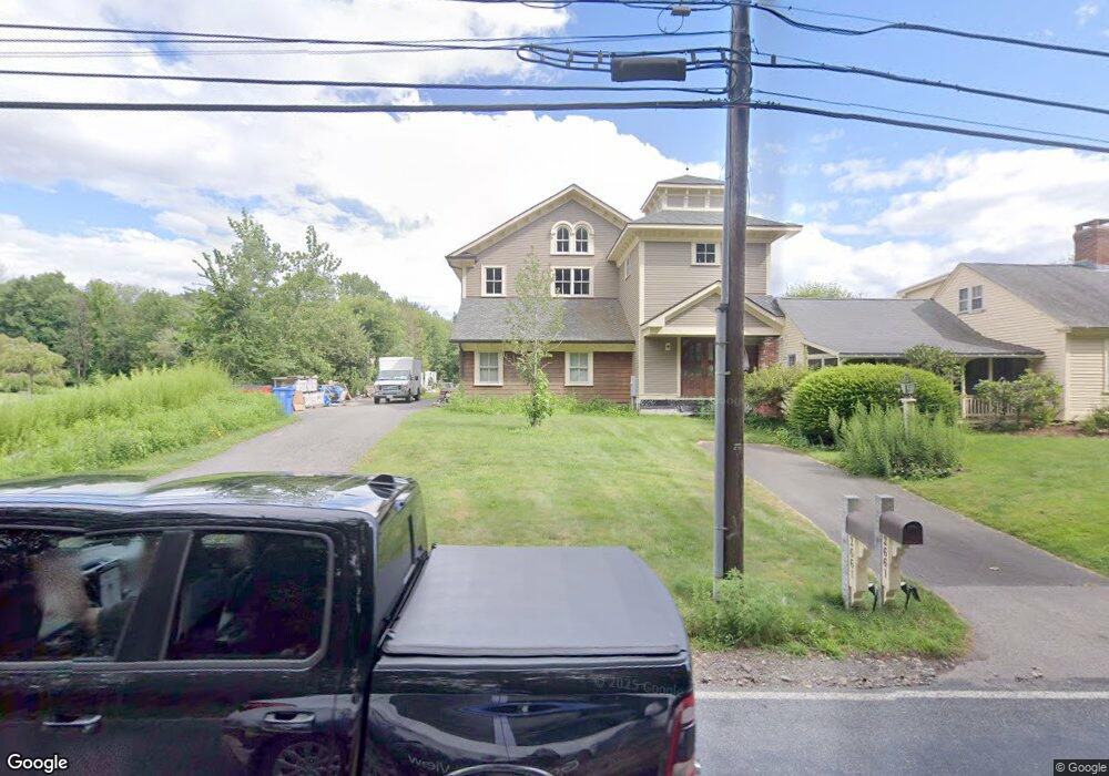
2661 West St Wrentham, MA 02093
West Wrentham NeighborhoodEstimated Value: $808,000 - $2,203,000
4
Beds
2
Baths
2,167
Sq Ft
$747/Sq Ft
Est. Value
About This Home
This home is located at 2661 West St, Wrentham, MA 02093 and is currently estimated at $1,617,859, approximately $746 per square foot. 2661 West St is a home located in Norfolk County with nearby schools including Delaney Elementary School, Charles E Roderick, and Rise Prep Mayoral Academy Middle School.
Ownership History
Date
Name
Owned For
Owner Type
Purchase Details
Closed on
Feb 24, 2012
Sold by
Teto Kristine M
Bought by
Kristine M Teto T and Teto Kristine M
Current Estimated Value
Purchase Details
Closed on
Oct 24, 2005
Sold by
Calkins Kathleen E and Calkins Robert A
Bought by
Teto Kristine
Home Financials for this Owner
Home Financials are based on the most recent Mortgage that was taken out on this home.
Original Mortgage
$322,000
Interest Rate
5.72%
Mortgage Type
Purchase Money Mortgage
Create a Home Valuation Report for This Property
The Home Valuation Report is an in-depth analysis detailing your home's value as well as a comparison with similar homes in the area
Home Values in the Area
Average Home Value in this Area
Purchase History
| Date | Buyer | Sale Price | Title Company |
|---|---|---|---|
| Kristine M Teto T | -- | -- | |
| Teto Kristine | $460,000 | -- |
Source: Public Records
Mortgage History
| Date | Status | Borrower | Loan Amount |
|---|---|---|---|
| Previous Owner | Teto Kristine | $322,000 |
Source: Public Records
Tax History Compared to Growth
Tax History
| Year | Tax Paid | Tax Assessment Tax Assessment Total Assessment is a certain percentage of the fair market value that is determined by local assessors to be the total taxable value of land and additions on the property. | Land | Improvement |
|---|---|---|---|---|
| 2025 | $21,309 | $1,838,600 | $287,200 | $1,551,400 |
| 2024 | $21,300 | $1,775,000 | $287,200 | $1,487,800 |
| 2023 | $20,511 | $1,625,300 | $261,000 | $1,364,300 |
| 2022 | $15,731 | $1,150,800 | $253,800 | $897,000 |
| 2021 | $18,325 | $1,302,400 | $237,200 | $1,065,200 |
| 2020 | $16,463 | $1,155,300 | $181,100 | $974,200 |
| 2019 | $14,724 | $1,042,800 | $163,000 | $879,800 |
| 2018 | $13,974 | $981,300 | $162,600 | $818,700 |
| 2017 | $13,510 | $948,100 | $159,500 | $788,600 |
| 2016 | $13,446 | $941,600 | $154,900 | $786,700 |
| 2015 | $14,706 | $981,700 | $165,500 | $816,200 |
| 2014 | $12,671 | $827,600 | $159,100 | $668,500 |
Source: Public Records
Map
Nearby Homes
- 9 Pebble Cir Unit 9
- 25 Nature View Dr
- 65 Palmetto Dr Unit 65
- 20 Nature View Dr
- 21 Palmetto Dr Unit 21
- 24 Palmetto Dr Unit 24
- 29 Squire Ln
- 219 Dawn Blvd
- 2095 West St
- 2 Duhamel Way
- 124 Lake St
- 1250 Pulaski Blvd
- 340 Wrentham Rd
- 10 Stoneham Dr
- 444 Knollwood Dr
- 180 Pine Swamp Rd
- 56 Pine Swamp Rd
- 56 Arland Ct
- 245 W Wrentham Rd
- 50 Wamsutta Way