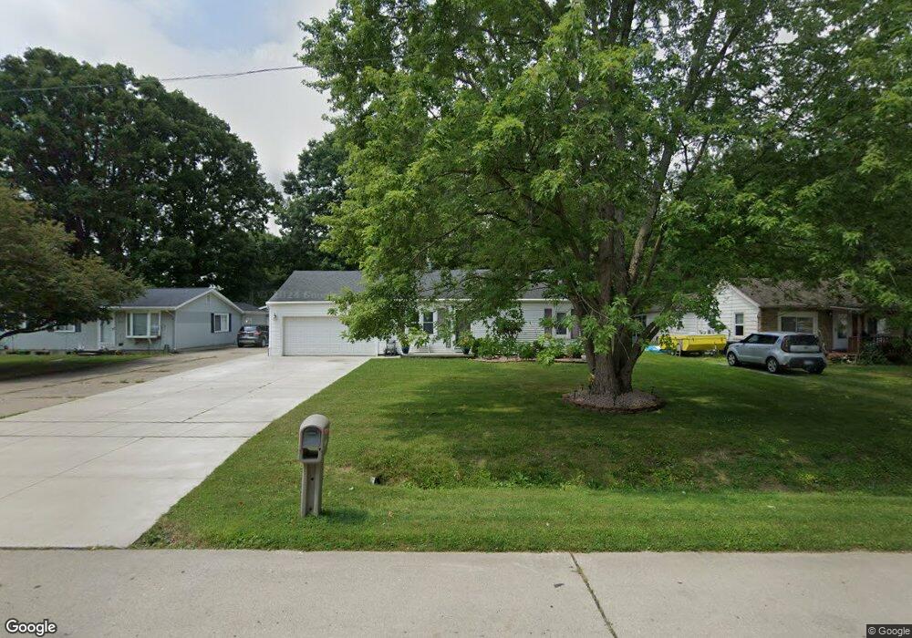
26618 Emma Ave Flat Rock, MI 48134
Estimated Value: $163,000 - $199,000
3
Beds
1
Bath
1,200
Sq Ft
$152/Sq Ft
Est. Value
About This Home
This home is located at 26618 Emma Ave, Flat Rock, MI 48134 and is currently estimated at $181,833, approximately $151 per square foot. 26618 Emma Ave is a home located in Wayne County with nearby schools including Ethel C. Bobcean Elementary School, John M. Barnes Elementary School, and Thomas Simpson Middle School.
Ownership History
Date
Name
Owned For
Owner Type
Purchase Details
Closed on
Jan 20, 2011
Sold by
Taylor Shirley H and Taylor Josie
Bought by
Taylor Hugh A
Current Estimated Value
Purchase Details
Closed on
Jul 9, 2009
Sold by
Stumpf Michele and Stumpf James H
Bought by
Bank Of New York Mellon and The Bank Of New York
Purchase Details
Closed on
Jun 19, 2006
Sold by
Stumpf James Howard and Stumpf Michele Lynn
Bought by
Stumpf Michele Lynn
Purchase Details
Closed on
Apr 15, 2004
Sold by
Rogers Daniel S
Bought by
Stumpf Michele
Home Financials for this Owner
Home Financials are based on the most recent Mortgage that was taken out on this home.
Original Mortgage
$142,200
Interest Rate
8%
Mortgage Type
Purchase Money Mortgage
Create a Home Valuation Report for This Property
The Home Valuation Report is an in-depth analysis detailing your home's value as well as a comparison with similar homes in the area
Home Values in the Area
Average Home Value in this Area
Purchase History
| Date | Buyer | Sale Price | Title Company |
|---|---|---|---|
| Taylor Hugh A | -- | None Available | |
| Bank Of New York Mellon | $36,125 | None Available | |
| Stumpf Michele Lynn | -- | None Available | |
| Stumpf Michele | -- | -- |
Source: Public Records
Mortgage History
| Date | Status | Borrower | Loan Amount |
|---|---|---|---|
| Previous Owner | Stumpf Michele | $142,200 |
Source: Public Records
Tax History Compared to Growth
Tax History
| Year | Tax Paid | Tax Assessment Tax Assessment Total Assessment is a certain percentage of the fair market value that is determined by local assessors to be the total taxable value of land and additions on the property. | Land | Improvement |
|---|---|---|---|---|
| 2025 | $2,280 | $70,400 | $0 | $0 |
| 2024 | $2,280 | $69,500 | $0 | $0 |
| 2023 | $2,175 | $62,600 | $0 | $0 |
| 2022 | $2,633 | $59,200 | $0 | $0 |
| 2021 | $2,334 | $51,100 | $0 | $0 |
| 2020 | $2,302 | $53,300 | $0 | $0 |
| 2019 | $2,259 | $49,900 | $0 | $0 |
| 2018 | $1,756 | $57,200 | $0 | $0 |
| 2017 | $928 | $56,500 | $0 | $0 |
| 2016 | $2,129 | $53,300 | $0 | $0 |
| 2015 | $3,911 | $51,300 | $0 | $0 |
| 2013 | $3,789 | $41,600 | $0 | $0 |
| 2012 | $1,402 | $37,000 | $7,200 | $29,800 |
Source: Public Records
Map
Nearby Homes
- 27200 Telegraph Rd
- 00000 Arsenal Rd
- 26607 Teton Ln Unit 693
- 25182 Frontier Cir
- 26718 Arcadia Dr
- 25712 Telegraph Rd
- 24946 Peters Rd
- 27003 Celtic Dr
- 26926 Celtic Dr
- 26878 Celtic Dr
- 26806 Celtic Dr
- 25738 Connery Dr
- 25340 Telegraph Rd
- 27119 Landmark Dr
- 27214 Celtic Dr
- 27031 W Huron River Dr
- 24161 Senate Dr
- 26721 W Huron River Dr
- 24494 Edwin St
- 27145 James Ave
- 26608 Emma Ave
- 26628 Emma Ave
- 26600 Emma Ave
- 26617 Emma Ave
- 26593 Emma Ave
- 26680 Emma Ave
- 26655 Emma Ave
- 26400 Emma Ave
- 26575 Emma Ave
- 26631 Emma Ave
- 26685 Emma Ave
- 26500 Emma Ave
- 26710 Emma Ave
- 26503 Emma Ave
- 26543 Emma Ave
- 25855 Matilda Ave
- 26740 Emma Ave
- 26711 Emma Ave
- 26733 Emma Ave
- 25831 Matilda Ave