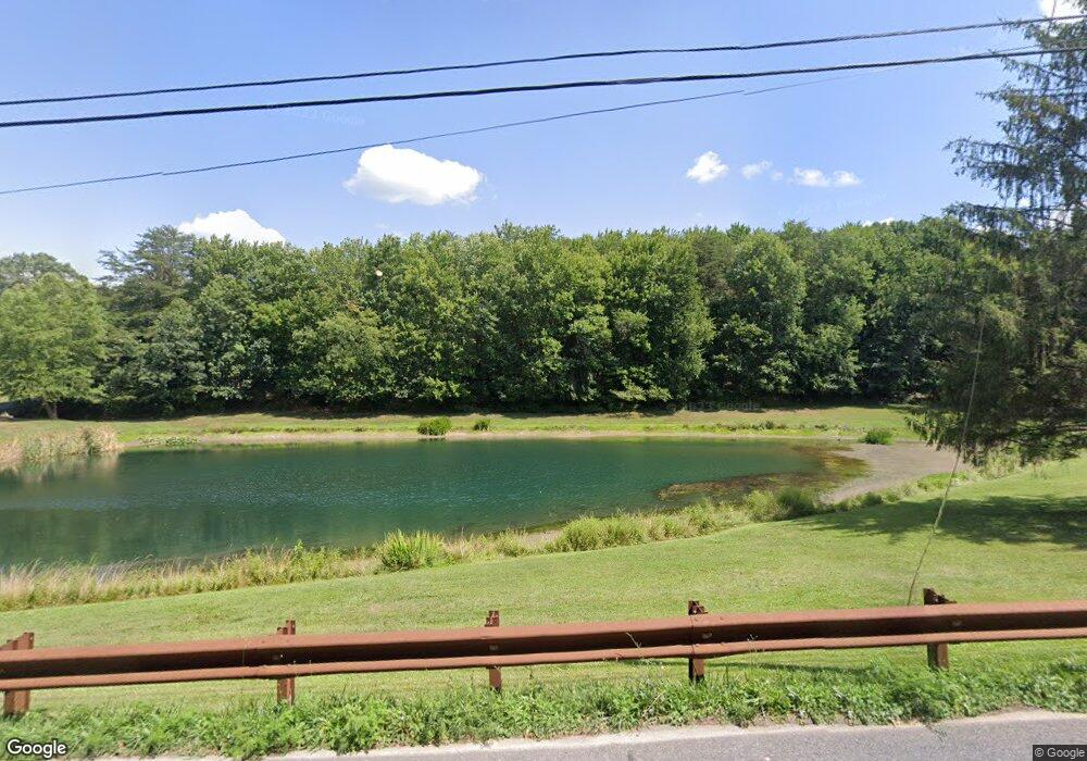
26619 Clarksburg Rd Damascus, MD 20872
Estimated Value: $986,000 - $1,085,000
--
Bed
3
Baths
2,060
Sq Ft
$512/Sq Ft
Est. Value
About This Home
This home is located at 26619 Clarksburg Rd, Damascus, MD 20872 and is currently estimated at $1,055,725, approximately $512 per square foot. 26619 Clarksburg Rd is a home located in Montgomery County with nearby schools including Damascus Elementary School, Cooper Upper Elementary School, and John T. Baker Middle School.
Ownership History
Date
Name
Owned For
Owner Type
Purchase Details
Closed on
Nov 6, 2006
Sold by
Smith Alton L and Smith J M
Bought by
Twery Michael J and Twery Cheryl L
Current Estimated Value
Home Financials for this Owner
Home Financials are based on the most recent Mortgage that was taken out on this home.
Original Mortgage
$170,000
Outstanding Balance
$101,120
Interest Rate
6.31%
Mortgage Type
Purchase Money Mortgage
Estimated Equity
$954,605
Purchase Details
Closed on
Oct 24, 2006
Sold by
Smith Alton L and Smith J M
Bought by
Twery Michael J and Twery Cheryl L
Home Financials for this Owner
Home Financials are based on the most recent Mortgage that was taken out on this home.
Original Mortgage
$170,000
Outstanding Balance
$101,120
Interest Rate
6.31%
Mortgage Type
Purchase Money Mortgage
Estimated Equity
$954,605
Create a Home Valuation Report for This Property
The Home Valuation Report is an in-depth analysis detailing your home's value as well as a comparison with similar homes in the area
Home Values in the Area
Average Home Value in this Area
Purchase History
| Date | Buyer | Sale Price | Title Company |
|---|---|---|---|
| Twery Michael J | $850,000 | -- | |
| Twery Michael J | $850,000 | -- |
Source: Public Records
Mortgage History
| Date | Status | Borrower | Loan Amount |
|---|---|---|---|
| Open | Twery Michael J | $170,000 | |
| Open | Twery Michael J | $595,000 | |
| Closed | Twery Michael J | $170,000 | |
| Closed | Twery Michael J | $595,000 |
Source: Public Records
Tax History Compared to Growth
Tax History
| Year | Tax Paid | Tax Assessment Tax Assessment Total Assessment is a certain percentage of the fair market value that is determined by local assessors to be the total taxable value of land and additions on the property. | Land | Improvement |
|---|---|---|---|---|
| 2025 | $8,644 | $731,900 | -- | -- |
| 2024 | $8,644 | $683,100 | $356,700 | $326,400 |
| 2023 | $7,796 | $673,233 | $0 | $0 |
| 2022 | $7,335 | $663,367 | $0 | $0 |
| 2021 | $6,854 | $653,500 | $356,700 | $296,800 |
| 2020 | $6,854 | $629,133 | $0 | $0 |
| 2019 | $6,563 | $604,767 | $0 | $0 |
| 2018 | $6,298 | $580,400 | $356,700 | $223,700 |
| 2017 | $6,375 | $576,833 | $0 | $0 |
| 2016 | -- | $573,267 | $0 | $0 |
| 2015 | $6,059 | $569,700 | $0 | $0 |
| 2014 | $6,059 | $569,700 | $0 | $0 |
Source: Public Records
Map
Nearby Homes
- 26506 Clarksburg Rd
- 26815 Clarksburg Rd
- 26208 Rudale Dr
- 25526 Burnt Hill Rd
- 2420 Prices Distillery Rd
- 26410 Haines Rd
- 11201 Bethesda Church Rd
- 2915 Loch Haven Ct
- 2749 Loch Haven Dr
- 3010 White Pine Dr
- 3010 Burns Ct
- 14208 Lewisdale Rd
- 10855 Bethesda Church Rd
- 11207 Bramblewood Ct
- 10891 Bethesda Church Rd
- 10895 Bethesda Church Rd
- 11240 Kingstead Rd
- 14449 Lewisdale Rd
- 11402 Meadowlark Dr
- 11377 Canary Dr
- 26800 Clarksburg Rd
- 0 Bethesda Church Rd Unit 1002382255
- 26615 Clarksburg Rd
- 12655 Prices Distillery Rd
- 26611 Clarksburg Rd
- 26600 Clarksburg Rd
- 26601 Clarksburg Rd
- 26727 Clarksburg Rd
- 12815 Prices Distillery Rd
- 26525 Clarksburg Rd
- 26511 Clarksburg Rd
- 12811 Prices Distillery Rd
- 26526 Clarksburg Rd
- 26626 Clarksburg Rd
- 12635 Prices Distillery Rd
- 26512 Clarksburg Rd
- 26507 Clarksburg Rd
- 12701 Prices Distillery Rd
- 12711 Prices Distillery Rd
- 12821 Prices Distillery Rd