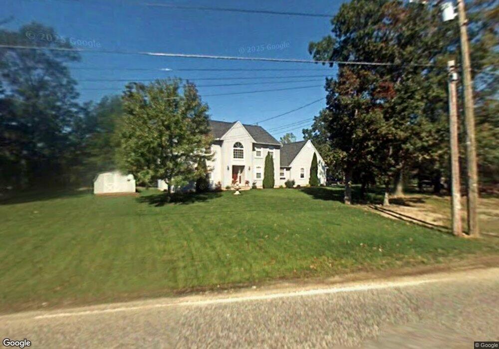
2662 Hance Bridge Rd Vineland, NJ 08361
Estimated Value: $553,373 - $664,000
--
Bed
--
Bath
4,134
Sq Ft
$149/Sq Ft
Est. Value
About This Home
This home is located at 2662 Hance Bridge Rd, Vineland, NJ 08361 and is currently estimated at $615,124, approximately $148 per square foot. 2662 Hance Bridge Rd is a home located in Cumberland County with nearby schools including Anthony Rossi Elementary School, John H. Winslow Elementary School, and Vineland Senior High School.
Ownership History
Date
Name
Owned For
Owner Type
Purchase Details
Closed on
Feb 3, 1999
Sold by
Houston Land Holding Corp
Bought by
Studstill William L and Studstill Sharon L
Current Estimated Value
Home Financials for this Owner
Home Financials are based on the most recent Mortgage that was taken out on this home.
Original Mortgage
$164,900
Outstanding Balance
$39,165
Interest Rate
6.78%
Estimated Equity
$575,959
Create a Home Valuation Report for This Property
The Home Valuation Report is an in-depth analysis detailing your home's value as well as a comparison with similar homes in the area
Home Values in the Area
Average Home Value in this Area
Purchase History
| Date | Buyer | Sale Price | Title Company |
|---|---|---|---|
| Studstill William L | $194,900 | -- |
Source: Public Records
Mortgage History
| Date | Status | Borrower | Loan Amount |
|---|---|---|---|
| Open | Studstill William L | $164,900 |
Source: Public Records
Tax History Compared to Growth
Tax History
| Year | Tax Paid | Tax Assessment Tax Assessment Total Assessment is a certain percentage of the fair market value that is determined by local assessors to be the total taxable value of land and additions on the property. | Land | Improvement |
|---|---|---|---|---|
| 2025 | $10,593 | $332,700 | $45,500 | $287,200 |
| 2024 | $10,593 | $332,700 | $45,500 | $287,200 |
| 2023 | $10,523 | $332,700 | $45,500 | $287,200 |
| 2022 | $10,211 | $332,700 | $45,500 | $287,200 |
| 2021 | $10,024 | $332,700 | $45,500 | $287,200 |
| 2020 | $9,738 | $332,700 | $45,500 | $287,200 |
| 2019 | $9,605 | $332,700 | $45,500 | $287,200 |
| 2018 | $9,352 | $332,700 | $45,500 | $287,200 |
| 2017 | $8,883 | $332,700 | $45,500 | $287,200 |
| 2016 | $8,570 | $332,700 | $45,500 | $287,200 |
| 2015 | $8,254 | $332,700 | $45,500 | $287,200 |
| 2014 | $7,805 | $332,700 | $45,500 | $287,200 |
Source: Public Records
Map
Nearby Homes
- 2671 E Sherman Ave
- 3176 Hance Bridge Rd
- 2676 Medina St
- 2603 Valhalla Rd
- 2994 Daphne Dr
- 1616 Pennsylvania Ave Unit 85
- 1616 Pennsylvania Ave Unit 16
- 1616 Pennsylvania Ave Unit 218
- 1616 Pennsylvania Ave Unit 257
- 1616 Pennsylvania Ave Unit 208
- 1616 Pennsylvania Ave Unit 137 BLUEBERRY
- 2851 Crane St
- 2800 Perna Ln
- 2769 Dante Ave
- 3717 Nathan Ln
- 2903 S Lincoln Ave
- 2319 S Lincoln Ave
- 2151 S Brookfield St
- 3773 Brookhaven Dr
- 1550 S Lincoln Ave
- 2642 Hance Bridge Rd
- 2654 E Sherman Ave
- 2622 Hance Bridge Rd
- 2635 E Sherman Ave
- 2620 E Sherman Ave
- 2602 Hance Bridge Rd
- 2617 E Sherman Ave
- 2782 Hance Bridge Rd
- 2582 Hance Bridge Rd
- 2565 E Sherman Ave
- 2818 Hance Bridge Rd
- 2562 Hance Bridge Rd
- 2854 Hance Bridge Rd
- 2870 Hance Bridge Rd
- 2534 E Sherman Ave
- 2880 Hance Bridge Rd
- 3561 Sherman Ave
- 2500 E Sherman Ave
- 2910 Hance Bridge Rd
- 3145 Daldon Ln