2662 Laurel Oak Dr Unit 181 Howell, MI 48855
Estimated Value: $317,089 - $338,000
--
Bed
1
Bath
1,300
Sq Ft
$254/Sq Ft
Est. Value
About This Home
This home is located at 2662 Laurel Oak Dr Unit 181, Howell, MI 48855 and is currently estimated at $329,772, approximately $253 per square foot. 2662 Laurel Oak Dr Unit 181 is a home located in Livingston County with nearby schools including Ruahmah J. Hutchings Elementary, Parker Middle School, and Howell High School.
Ownership History
Date
Name
Owned For
Owner Type
Purchase Details
Closed on
May 30, 2003
Sold by
Grandon Steve and Grandon Carey
Bought by
Roth Thomas C and Roth Jessica L
Current Estimated Value
Purchase Details
Closed on
Jul 28, 1999
Sold by
Welch Construction Company
Bought by
Grandon Steve and Grandon Carey
Home Financials for this Owner
Home Financials are based on the most recent Mortgage that was taken out on this home.
Original Mortgage
$107,500
Interest Rate
6.75%
Create a Home Valuation Report for This Property
The Home Valuation Report is an in-depth analysis detailing your home's value as well as a comparison with similar homes in the area
Home Values in the Area
Average Home Value in this Area
Purchase History
| Date | Buyer | Sale Price | Title Company |
|---|---|---|---|
| Roth Thomas C | $193,000 | American Title Company Of Li | |
| Grandon Steve | $157,520 | American Title Co |
Source: Public Records
Mortgage History
| Date | Status | Borrower | Loan Amount |
|---|---|---|---|
| Previous Owner | Grandon Steve | $107,500 |
Source: Public Records
Tax History Compared to Growth
Tax History
| Year | Tax Paid | Tax Assessment Tax Assessment Total Assessment is a certain percentage of the fair market value that is determined by local assessors to be the total taxable value of land and additions on the property. | Land | Improvement |
|---|---|---|---|---|
| 2025 | $1,331 | $142,600 | $0 | $0 |
| 2024 | $1,293 | $138,800 | $0 | $0 |
| 2023 | $1,235 | $125,000 | $0 | $0 |
| 2022 | $568 | $103,800 | $0 | $0 |
| 2021 | $1,711 | $109,500 | $0 | $0 |
| 2020 | $1,731 | $103,800 | $0 | $0 |
| 2019 | $1,706 | $94,500 | $0 | $0 |
| 2018 | $1,685 | $88,400 | $0 | $0 |
| 2017 | $1,663 | $85,700 | $0 | $0 |
| 2016 | $1,654 | $82,500 | $0 | $0 |
| 2014 | $1,537 | $70,000 | $0 | $0 |
| 2012 | $1,537 | $64,900 | $0 | $0 |
Source: Public Records
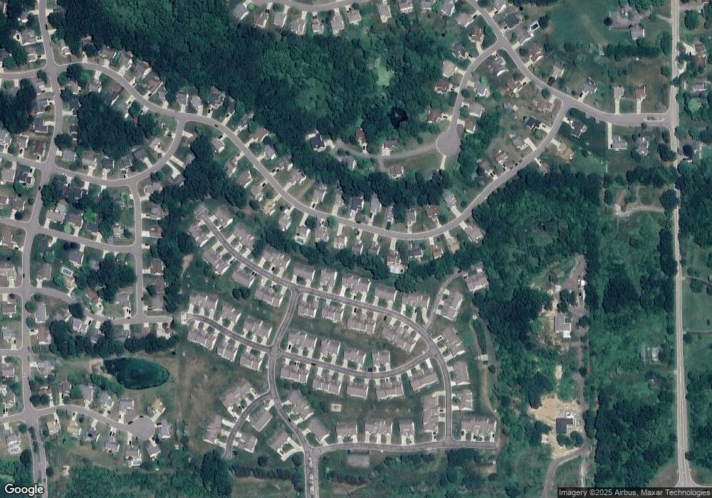
Map
Nearby Homes
- 1570 Princewood Blvd
- 2511 Kerria Dr Unit 42
- 2495 Moore Place
- 1633 Frech Ln
- 1400 Oakcrest Rd
- 3040 Bogues View Dr
- 559 Cannonade Loop
- 475 Cannonade Loop
- 571 Cannonade Loop
- 523 Cannonade Loop
- 583 Cannonade Loop
- The Austin Plan at Broadmoor
- The Charlotte Plan at Broadmoor
- The Harrison Plan at Broadmoor
- The Bloomington Plan at Broadmoor
- The Columbia Plan at Broadmoor
- VACANT LOT Thompson Shore Dr
- 3224 Waverly Woods Ln
- 3227 Waverly Woods Ln
- 2653 Ravine Side N
- 2680 Laurel Oak Dr
- 2644 Laurel Oak Dr Unit 182
- 2575 Kerria Dr Unit 52
- 2571 Kerria Dr Unit 51
- 2698 Laurel Oak Dr Unit 179
- 2626 Laurel Oak Dr
- 2579 Kerria Dr Unit 53
- 2565 Kerria Dr Unit 50
- 2561 Kerria Dr Unit 49
- 2677 Laurel Oak Dr Unit 156
- 2659 Laurel Oak Dr Unit 155
- 2641 Laurel Oak Dr Unit 154
- 2695 Laurel Oak Dr Unit 157
- 2583 Kerria Dr Unit 54
- 2553 Kerria Dr Unit 48
- 2608 Laurel Oak Dr Unit 184
- 2589 Kerria Dr Unit 55
- 2716 Laurel Oak Dr Unit 178
- 2713 Laurel Oak Dr Unit 158
- 2549 Kerria Dr Unit 47