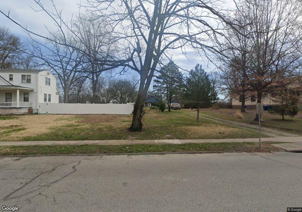
2662 Sims Ave Saint Louis, MO 63114
Estimated Value: $154,000 - $169,000
2
Beds
1
Bath
1,176
Sq Ft
$139/Sq Ft
Est. Value
About This Home
This home is located at 2662 Sims Ave, Saint Louis, MO 63114 and is currently estimated at $163,043, approximately $138 per square foot. 2662 Sims Ave is a home located in St. Louis County with nearby schools including Marion Elementary School, Ritenour Middle School, and Ritenour Senior High School.
Ownership History
Date
Name
Owned For
Owner Type
Purchase Details
Closed on
Jul 17, 2002
Sold by
Simmons Emma Mae and Simmons Robert
Bought by
Simmons Robert
Current Estimated Value
Purchase Details
Closed on
Dec 17, 1997
Sold by
Mae Simmons Emma
Bought by
Simmons Emma Mae and Simmons Robert
Home Financials for this Owner
Home Financials are based on the most recent Mortgage that was taken out on this home.
Original Mortgage
$41,600
Interest Rate
10.6%
Create a Home Valuation Report for This Property
The Home Valuation Report is an in-depth analysis detailing your home's value as well as a comparison with similar homes in the area
Home Values in the Area
Average Home Value in this Area
Purchase History
| Date | Buyer | Sale Price | Title Company |
|---|---|---|---|
| Simmons Robert | -- | -- | |
| Simmons Emma Mae | -- | -- |
Source: Public Records
Mortgage History
| Date | Status | Borrower | Loan Amount |
|---|---|---|---|
| Closed | Simmons Emma Mae | $41,600 |
Source: Public Records
Tax History Compared to Growth
Tax History
| Year | Tax Paid | Tax Assessment Tax Assessment Total Assessment is a certain percentage of the fair market value that is determined by local assessors to be the total taxable value of land and additions on the property. | Land | Improvement |
|---|---|---|---|---|
| 2025 | $2,156 | $30,150 | $12,560 | $17,590 |
| 2024 | $2,156 | $25,160 | $3,520 | $21,640 |
| 2023 | $2,109 | $25,160 | $3,520 | $21,640 |
| 2022 | $1,732 | $18,080 | $2,010 | $16,070 |
| 2021 | $1,731 | $18,080 | $2,010 | $16,070 |
| 2020 | $1,426 | $13,690 | $3,900 | $9,790 |
| 2019 | $1,411 | $13,690 | $3,900 | $9,790 |
| 2018 | $1,554 | $13,600 | $3,570 | $10,030 |
| 2017 | $1,482 | $13,600 | $3,570 | $10,030 |
| 2016 | $1,251 | $11,660 | $2,430 | $9,230 |
| 2015 | $1,280 | $11,660 | $2,430 | $9,230 |
| 2014 | $1,541 | $14,340 | $3,780 | $10,560 |
Source: Public Records
Map
Nearby Homes
- 9911 Dennison Ave
- 9922 Carlyle Ave
- 2529 Leslie Ave
- 9640 Tennyson Ave
- 2528 Leslie Ave
- 10222 Saint Dennis Ln
- 10027 Breckenridge Rd
- 2412 Wallis Ave
- 3222 W Tennyson Ave
- 10228 Saint Arsene Ln
- 10235 Midland Blvd
- 3239 Chaucer Ave
- 3244 Chaucer Ave
- 3113 Pearl Harbor Dr
- 3294 W Tennyson Ave
- 3219 Royalton Ave
- 3205 Airway Ave
- 3301 Suncrest Ave
- 3213 Airway Ave
- 3246 Saint Joachim Ln
- 2658 Sims Ave
- 2672 Sims Ave
- 9818 Dennison Ave
- 2654 Sims Ave
- 9816 Dennison Ave
- 9814 Dennison Ave
- 9823 Dennison Ave
- 2667 Sims Ave
- 2657 Sims Ave
- 2651 Sims Ave
- 2677 Sims Ave
- 2739 Wismer Ave
- 9817 Dennison Ave
- 2737 Wismer Ave
- 2743 Wismer Ave
- 2703 Sims Ave
- 2708 Sims Ave
- 2745 Wismer Ave
- 2741 Wismer Ave
- 9907 Dennison Ave