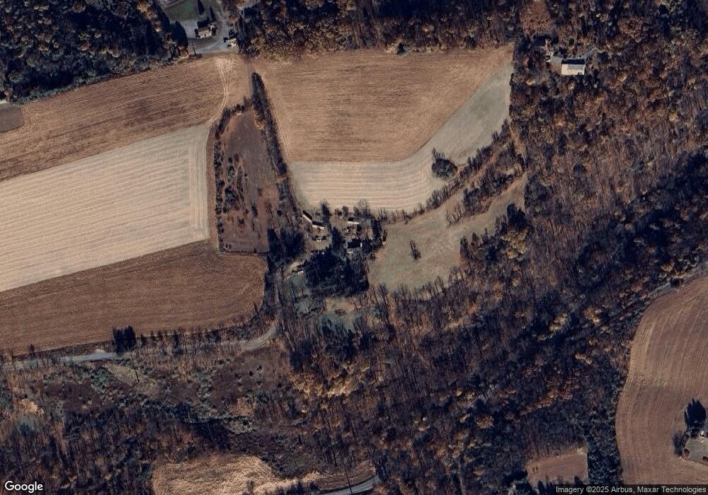
2663 Avery Rd Slatington, PA 18080
Washington Township NeighborhoodEstimated Value: $401,000 - $1,222,000
3
Beds
2
Baths
2,452
Sq Ft
$314/Sq Ft
Est. Value
About This Home
This home is located at 2663 Avery Rd, Slatington, PA 18080 and is currently estimated at $770,532, approximately $314 per square foot. 2663 Avery Rd is a home with nearby schools including Peters Elementary School, Slatington Elementary School, and Northern Lehigh Middle School.
Ownership History
Date
Name
Owned For
Owner Type
Purchase Details
Closed on
Mar 25, 2003
Sold by
Wentz Rose A and Wentz Beth L
Bought by
Foulk Allen T and Foulk Bonita L
Current Estimated Value
Home Financials for this Owner
Home Financials are based on the most recent Mortgage that was taken out on this home.
Original Mortgage
$295,000
Outstanding Balance
$126,264
Interest Rate
5.82%
Mortgage Type
Purchase Money Mortgage
Estimated Equity
$644,268
Purchase Details
Closed on
Jul 14, 1978
Bought by
Wentz Richard L
Create a Home Valuation Report for This Property
The Home Valuation Report is an in-depth analysis detailing your home's value as well as a comparison with similar homes in the area
Home Values in the Area
Average Home Value in this Area
Purchase History
| Date | Buyer | Sale Price | Title Company |
|---|---|---|---|
| Foulk Allen T | $520,000 | Lawyers Title Insurance Corp | |
| Wentz Richard L | $140,000 | -- |
Source: Public Records
Mortgage History
| Date | Status | Borrower | Loan Amount |
|---|---|---|---|
| Open | Foulk Allen T | $295,000 |
Source: Public Records
Tax History Compared to Growth
Tax History
| Year | Tax Paid | Tax Assessment Tax Assessment Total Assessment is a certain percentage of the fair market value that is determined by local assessors to be the total taxable value of land and additions on the property. | Land | Improvement |
|---|---|---|---|---|
| 2025 | $5,602 | $473,900 | $346,600 | $127,300 |
| 2024 | $5,505 | $473,900 | $346,600 | $127,300 |
| 2023 | $5,354 | $473,900 | $346,600 | $127,300 |
| 2022 | $5,258 | $473,900 | $127,300 | $346,600 |
| 2021 | $5,169 | $473,900 | $346,600 | $127,300 |
| 2020 | $5,058 | $473,900 | $346,600 | $127,300 |
| 2019 | $4,926 | $473,900 | $346,600 | $127,300 |
| 2018 | $4,809 | $473,900 | $346,600 | $127,300 |
| 2017 | $4,795 | $473,900 | $346,600 | $127,300 |
| 2016 | -- | $473,900 | $346,600 | $127,300 |
| 2015 | -- | $473,900 | $346,600 | $127,300 |
| 2014 | -- | $473,900 | $346,600 | $127,300 |
Source: Public Records
Map
Nearby Homes
- 7118 Kingstead Dr
- 7340 W Hillcrest Ln
- 433 S Walnut St Unit 435
- 1239 4th St
- 744 Williams Ave
- 9170 N Loop Rd
- 84 Linda Dr
- 419 E Washington St
- 431 E Washington St
- 314 2nd St
- 6917 Jay St
- 6913 Jay St
- 319 W Franklin St
- 16 Gap View Mobile Home Park
- 117 Hill St
- 210 2nd St
- 402 7th St
- 416 Owl Alley
- 108 Railroad St
- 562 W Franklin St