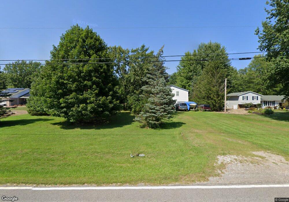
26630 Osborne Rd Columbia Station, OH 44028
Estimated Value: $182,000 - $440,000
4
Beds
2
Baths
2,250
Sq Ft
$137/Sq Ft
Est. Value
About This Home
This home is located at 26630 Osborne Rd, Columbia Station, OH 44028 and is currently estimated at $307,404, approximately $136 per square foot. 26630 Osborne Rd is a home located in Lorain County with nearby schools including Copopa Elementary School, Columbia Middle School, and Columbia High School.
Ownership History
Date
Name
Owned For
Owner Type
Purchase Details
Closed on
Nov 21, 2013
Sold by
Joyce James G
Bought by
Joyce Eugene T and Simon Joyce Laurie A
Current Estimated Value
Purchase Details
Closed on
Dec 9, 2008
Sold by
Federal Home Loan Mortgage Corporation
Bought by
Joyce James G
Home Financials for this Owner
Home Financials are based on the most recent Mortgage that was taken out on this home.
Original Mortgage
$65,700
Interest Rate
6.06%
Mortgage Type
Purchase Money Mortgage
Purchase Details
Closed on
Sep 10, 2008
Sold by
Schurdell Ernest A and Schurdell Mary E
Bought by
Federal Home Loan Mortgage Corp
Purchase Details
Closed on
Mar 11, 1999
Sold by
Schurdell Ernest A and Schurdell Mary E
Bought by
Schurdell Ernest A and Schurdell Mary E
Create a Home Valuation Report for This Property
The Home Valuation Report is an in-depth analysis detailing your home's value as well as a comparison with similar homes in the area
Home Values in the Area
Average Home Value in this Area
Purchase History
| Date | Buyer | Sale Price | Title Company |
|---|---|---|---|
| Joyce Eugene T | $68,000 | Miller Home Title | |
| Joyce James G | $73,000 | Attorney | |
| Federal Home Loan Mortgage Corp | $94,000 | None Available | |
| Schurdell Ernest A | -- | -- |
Source: Public Records
Mortgage History
| Date | Status | Borrower | Loan Amount |
|---|---|---|---|
| Previous Owner | Joyce James G | $65,700 |
Source: Public Records
Tax History Compared to Growth
Tax History
| Year | Tax Paid | Tax Assessment Tax Assessment Total Assessment is a certain percentage of the fair market value that is determined by local assessors to be the total taxable value of land and additions on the property. | Land | Improvement |
|---|---|---|---|---|
| 2024 | $3,015 | $67,414 | $18,596 | $48,818 |
| 2023 | $1,550 | $29,831 | $10,962 | $18,869 |
| 2022 | $1,514 | $29,831 | $10,962 | $18,869 |
| 2021 | $3,012 | $59,661 | $21,924 | $37,737 |
| 2020 | $2,911 | $51,750 | $19,020 | $32,730 |
| 2019 | $2,894 | $51,750 | $19,020 | $32,730 |
| 2018 | $2,918 | $51,750 | $19,020 | $32,730 |
| 2017 | $2,542 | $41,760 | $18,950 | $22,810 |
| 2016 | $2,561 | $41,760 | $18,950 | $22,810 |
| 2015 | $2,561 | $41,760 | $18,950 | $22,810 |
| 2014 | $2,572 | $41,760 | $18,950 | $22,810 |
| 2013 | $2,517 | $41,760 | $18,950 | $22,810 |
Source: Public Records
Map
Nearby Homes
- 23663 Victory Ln
- 26571 Sprague Rd
- 9954 Ethan Dr
- 9628 Kingston Trail
- 27167 Watkin Rd
- 27056 Sprague Rd
- 11834 W River Rd
- 33621 Henwell Rd
- 2013 Viewpointe Ct
- 33700 Henwell Rd
- 33743 Henwell Rd
- 26271 Royalton Rd
- 23855 W Rim Dr
- 9130 Devonshire Dr
- 9112 Devonshire Dr
- 26645 Lake of the Falls Blvd
- 25931 Royalton Rd
- 31100 Blooming Ln
- 8860 Sharp Rd
- 9159 E Windsor Dr
- 26654 Osborne Rd
- 26602 Osborne Rd
- 26672 Osborne Rd
- 26584 Osborne Rd
- 26698 Osborne Rd
- 26641 Osborne Rd
- 26593 Osborne Rd
- 11326 Station Rd
- 26722 Osborne Rd
- 26685 Osborne Rd
- 26746 Osborne Rd
- 11224 Station Rd
- 11369 Station Rd
- 26768 Osborne Rd
- 26735 Osborne Rd
- 11355 Station Rd
- 26759 Osborne Rd
- 26458 Anderson Rd
- 26458 Anderson Rd
- 26792 Osborne Rd