26635 Cloyds Rd Anchor Point, AK 99556
Estimated Value: $60,000 - $316,000
1
Bed
1
Bath
464
Sq Ft
$465/Sq Ft
Est. Value
About This Home
This home is located at 26635 Cloyds Rd, Anchor Point, AK 99556 and is currently estimated at $215,580, approximately $464 per square foot. 26635 Cloyds Rd is a home located in Kenai Peninsula Borough with nearby schools including Ninilchik School.
Ownership History
Date
Name
Owned For
Owner Type
Purchase Details
Closed on
Jul 15, 2010
Sold by
Blore Michael S
Bought by
Bennyhoff William F and Bennyhoff Marcia A
Current Estimated Value
Home Financials for this Owner
Home Financials are based on the most recent Mortgage that was taken out on this home.
Original Mortgage
$60,000
Outstanding Balance
$20,071
Interest Rate
4.76%
Mortgage Type
Purchase Money Mortgage
Estimated Equity
$195,509
Create a Home Valuation Report for This Property
The Home Valuation Report is an in-depth analysis detailing your home's value as well as a comparison with similar homes in the area
Home Values in the Area
Average Home Value in this Area
Purchase History
| Date | Buyer | Sale Price | Title Company |
|---|---|---|---|
| Bennyhoff William F | -- | First American Title Ins Co |
Source: Public Records
Mortgage History
| Date | Status | Borrower | Loan Amount |
|---|---|---|---|
| Open | Bennyhoff William F | $60,000 |
Source: Public Records
Tax History Compared to Growth
Tax History
| Year | Tax Paid | Tax Assessment Tax Assessment Total Assessment is a certain percentage of the fair market value that is determined by local assessors to be the total taxable value of land and additions on the property. | Land | Improvement |
|---|---|---|---|---|
| 2025 | -- | $228,800 | $45,500 | $183,300 |
| 2024 | $4,627 | $190,600 | $43,200 | $147,400 |
| 2023 | $4,627 | $181,000 | $36,300 | $144,700 |
| 2022 | $0 | $150,400 | $28,100 | $122,300 |
| 2021 | $4,627 | $149,100 | $27,300 | $121,800 |
| 2020 | $4,627 | $156,900 | $27,300 | $129,600 |
| 2019 | $0 | $132,400 | $21,300 | $111,100 |
| 2018 | $0 | $124,900 | $21,300 | $103,600 |
| 2017 | -- | $116,100 | $21,300 | $94,800 |
| 2016 | -- | $118,900 | $21,300 | $97,600 |
| 2015 | $1,101 | $104,600 | $21,300 | $83,300 |
| 2014 | $1,101 | $103,500 | $21,300 | $82,200 |
Source: Public Records
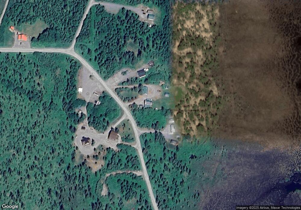
Map
Nearby Homes
- 27320 Cloyds Rd
- 25646 Hawks Beach Rem SW
- L9 Rowen St
- L10 Rowen St
- 69231 Tanners Trail Rd
- 67280 Saint John Rd
- 68404 Leopold Ave
- 27200 Birdwatch St
- 24220 Sterling Hwy
- 70820 Isabelle Rd
- 70430 Tall Tree Ave
- 25850 Stinkbug St
- 24075 Colleen Ct
- TR 7 Haath Acres
- 000 Tall Tree Ave
- 70859 Tall Tree Ave
- 67381 Stoddard Ave
- 000 Wild Cotton Rd
- 67212 Homestead Rd
- 68650 Homestead Rd
- 26595 Cloyds Rd
- 26491 Cloyds Rd
- 26570 Cloyds Rd
- 26642 Cloyds Rd
- 26485 Cloyds Rd
- 26830 Cloyds Rd
- 26835 Cloyds Rd
- 26345 Cloyds Rd
- L4 Cloyds Rd
- 000 Cloyds Rd
- L5 Cloyds Rd
- L3 Cloyds Rd
- L2 Cloyds Rd
- L2-3 Cloyds Rd
- L14 Cloyds Rd
- L1 Cloyds Rd
- 69600 Resch Ave
- Mi 147.5 Sterling Hwy
- 26860 Cloyds Rd
- L15 Cloyd Rd