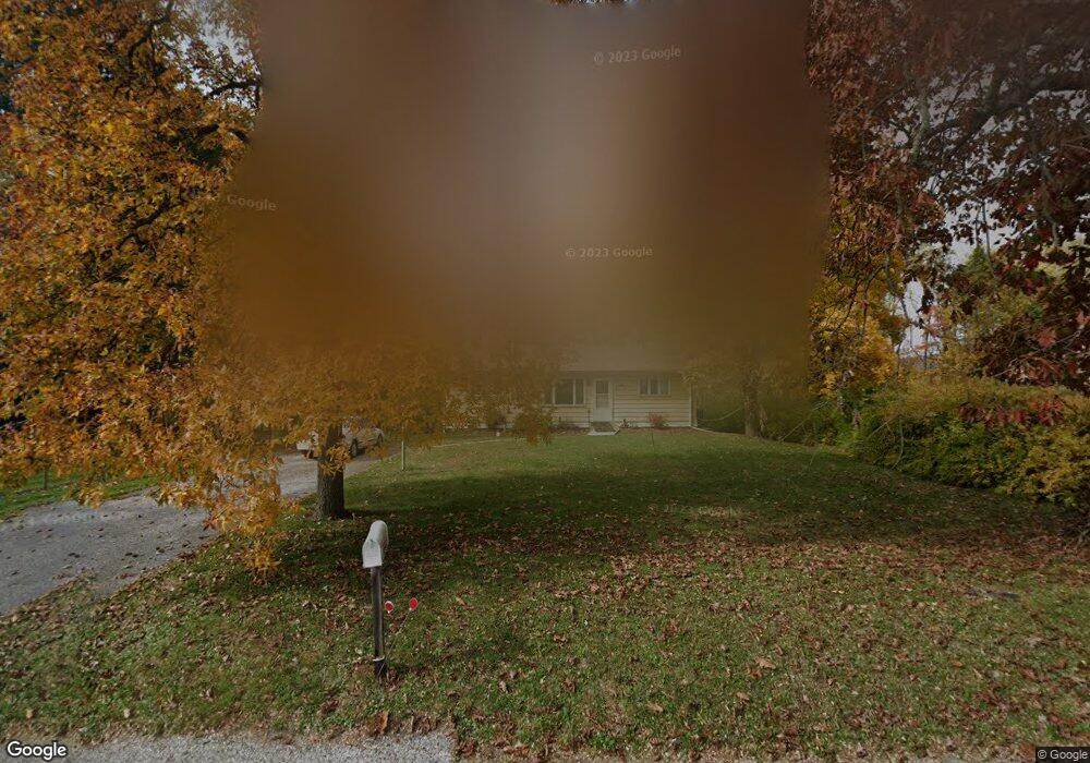
2665 Rosstown Rd Wellsville, PA 17365
Warrington Township NeighborhoodEstimated Value: $167,000 - $241,000
3
Beds
1
Bath
960
Sq Ft
$196/Sq Ft
Est. Value
About This Home
This home is located at 2665 Rosstown Rd, Wellsville, PA 17365 and is currently estimated at $187,946, approximately $195 per square foot. 2665 Rosstown Rd is a home located in York County with nearby schools including Northern Middle School and Northern High School.
Ownership History
Date
Name
Owned For
Owner Type
Purchase Details
Closed on
Aug 31, 2001
Sold by
Kramer Karl A and Kramer Merri C
Bought by
Baughman Richard L
Current Estimated Value
Home Financials for this Owner
Home Financials are based on the most recent Mortgage that was taken out on this home.
Original Mortgage
$73,440
Outstanding Balance
$28,763
Interest Rate
7.05%
Mortgage Type
VA
Estimated Equity
$159,183
Purchase Details
Closed on
Dec 1, 1982
Bought by
Kramer Karl A and Kramer Merri C
Create a Home Valuation Report for This Property
The Home Valuation Report is an in-depth analysis detailing your home's value as well as a comparison with similar homes in the area
Home Values in the Area
Average Home Value in this Area
Purchase History
| Date | Buyer | Sale Price | Title Company |
|---|---|---|---|
| Baughman Richard L | $72,000 | -- | |
| Kramer Karl A | $47,900 | -- |
Source: Public Records
Mortgage History
| Date | Status | Borrower | Loan Amount |
|---|---|---|---|
| Open | Baughman Richard L | $73,440 |
Source: Public Records
Tax History Compared to Growth
Tax History
| Year | Tax Paid | Tax Assessment Tax Assessment Total Assessment is a certain percentage of the fair market value that is determined by local assessors to be the total taxable value of land and additions on the property. | Land | Improvement |
|---|---|---|---|---|
| 2025 | $2,636 | $96,770 | $37,940 | $58,830 |
| 2024 | $2,608 | $96,770 | $37,940 | $58,830 |
| 2023 | $2,555 | $96,770 | $37,940 | $58,830 |
| 2022 | $2,436 | $94,260 | $37,940 | $56,320 |
| 2021 | $2,277 | $94,260 | $37,940 | $56,320 |
| 2020 | $2,223 | $94,260 | $37,940 | $56,320 |
| 2019 | $2,167 | $94,260 | $37,940 | $56,320 |
| 2018 | $2,120 | $94,260 | $37,940 | $56,320 |
| 2017 | $2,120 | $94,260 | $37,940 | $56,320 |
| 2016 | $0 | $94,260 | $37,940 | $56,320 |
| 2015 | -- | $94,260 | $37,940 | $56,320 |
| 2014 | -- | $94,260 | $37,940 | $56,320 |
Source: Public Records
Map
Nearby Homes
- 480 Mount Airy Rd Unit 13
- 329 Mount Airy Rd
- 450 Stone Jug Rd
- 1967 Pinetown Rd
- 0 W Camping Area Rd
- 6520 Old Carlisle Rd
- Tract #1 Carlisle Rd
- 859 Pinetown Rd
- 6031 Mountain Rd
- 6200 Old Carlisle Rd
- 0 Bull Rd Unit PAYK2080900
- 0 Pin Oak 5br Plan at the Seasons Unit PAYK2087618
- 5840 Old Carlisle Rd
- 5790 Mountain Rd
- 5790 Carlisle Rd
- 375 Mount Zion Rd
- 855 Garriston Rd
- 814 Moores Mountain Rd
- 833 Stonybrook Ln
- 1735 Temple School Rd
- 2675 Rosstown Rd
- 2649 Rosstown Rd
- 2685 Rosstown Rd
- 2615 Rosstown Rd
- 2605 Rosstown Rd
- 2585 Rosstown Rd
- 2755 Rosstown Rd
- 2565 Rosstown Rd
- 2555 Rosstown Rd
- 1555 Pinetown Rd
- 2545 Rosstown Rd
- 2775 Rosstown Rd
- 2535 Rosstown Rd
- 1585 Pinetown Rd
- 5 Mountain View Ct
- 2754 Rosstown Rd
- 23 Mountain View Ct
- 15 Mountain View Ct
- 2525 Rosstown Rd
- 35 Mountain View Ct