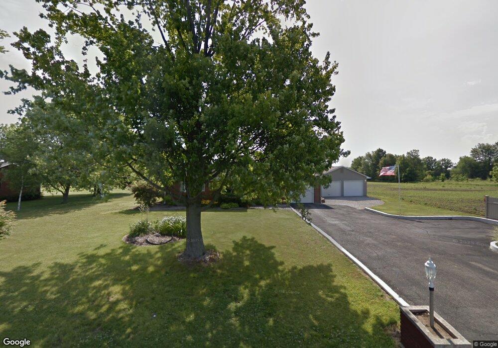
2665 S 650 E Whitestown, IN 46075
Estimated Value: $324,170 - $347,000
3
Beds
2
Baths
1,628
Sq Ft
$206/Sq Ft
Est. Value
About This Home
This home is located at 2665 S 650 E, Whitestown, IN 46075 and is currently estimated at $335,543, approximately $206 per square foot. 2665 S 650 E is a home located in Boone County with nearby schools including Perry Worth Elementary School, Lebanon Middle School, and Lebanon Senior High School.
Ownership History
Date
Name
Owned For
Owner Type
Purchase Details
Closed on
Dec 5, 2013
Sold by
Smith E Brent and Smith Tricia
Bought by
Dttw Llc
Current Estimated Value
Purchase Details
Closed on
Feb 7, 2013
Sold by
Wiseman Robert S
Bought by
Denny Nicholas and Denny Mary F
Home Financials for this Owner
Home Financials are based on the most recent Mortgage that was taken out on this home.
Original Mortgage
$156,021
Interest Rate
3.15%
Mortgage Type
FHA
Purchase Details
Closed on
Feb 10, 2005
Sold by
Pennington Ii Charlie Nelson
Bought by
Wiseman Robert S
Home Financials for this Owner
Home Financials are based on the most recent Mortgage that was taken out on this home.
Original Mortgage
$150,636
Interest Rate
5.83%
Mortgage Type
FHA
Create a Home Valuation Report for This Property
The Home Valuation Report is an in-depth analysis detailing your home's value as well as a comparison with similar homes in the area
Home Values in the Area
Average Home Value in this Area
Purchase History
| Date | Buyer | Sale Price | Title Company |
|---|---|---|---|
| Dttw Llc | -- | Meridian Title | |
| Smith E Brent | -- | Meridian Title | |
| Denny Nicholas | -- | Abstract & Title | |
| Wiseman Robert S | -- | -- |
Source: Public Records
Mortgage History
| Date | Status | Borrower | Loan Amount |
|---|---|---|---|
| Previous Owner | Denny Nicholas | $156,021 | |
| Previous Owner | Wiseman Robert S | $150,636 |
Source: Public Records
Tax History Compared to Growth
Tax History
| Year | Tax Paid | Tax Assessment Tax Assessment Total Assessment is a certain percentage of the fair market value that is determined by local assessors to be the total taxable value of land and additions on the property. | Land | Improvement |
|---|---|---|---|---|
| 2025 | $2,325 | $294,000 | $24,700 | $269,300 |
| 2024 | $2,325 | $278,300 | $24,700 | $253,600 |
| 2023 | $2,420 | $264,800 | $24,700 | $240,100 |
| 2022 | $2,303 | $240,400 | $24,700 | $215,700 |
| 2021 | $1,997 | $206,600 | $24,700 | $181,900 |
| 2020 | $1,706 | $185,300 | $24,700 | $160,600 |
| 2019 | $1,466 | $177,800 | $24,700 | $153,100 |
| 2018 | $1,674 | $180,400 | $24,700 | $155,700 |
| 2017 | $1,622 | $179,400 | $24,700 | $154,700 |
| 2016 | $1,552 | $166,700 | $24,700 | $142,000 |
| 2014 | $1,299 | $152,700 | $26,600 | $126,100 |
| 2013 | $1,271 | $152,700 | $26,600 | $126,100 |
Source: Public Records
Map
Nearby Homes
- 2549 Plano Dr
- 6433 Wasco Dr
- 6695 Sugar Creek Ln
- 2598 Lamar Dr
- 2665 Maricopa Blvd
- 2532 Lamar Dr
- 2 Harrison St
- 6285 Wasco Dr
- 6275 Wasco Dr
- 6267 Wasco Dr
- 6400 Flag Stop Dr
- 6390 Flag Stop Dr
- 7 Harrison Ave
- 6219 Wasco Dr
- 2892 Maricopa Blvd
- 6211 Wasco Dr
- Harmony Plan at Trailside
- Christoph Plan at Trailside - Towns
- Drescher Plan at Trailside - Towns
- Johnstown Plan at Trailside
- 2665 S 650 E
- 2641 S 650 E
- 650 East
- 6549 Jackson Run Dr
- 6530 Prairie Chase Dr
- 6559 Jackson Run Dr
- 6540 Prairie Chase Dr
- 6487 Madera Dr
- 6548 Prairie Chase Dr
- 6563 Jackson Run Dr
- 2619 S 650 E
- 6481 Madera Dr
- 6558 Prairie Chase Dr
- 6573 Jackson Run Dr
- 6566 Prairie Chase Dr
- 6477 Madera Dr
- 6471 Madera Dr
- 6587 Jackson Run Dr
- 2628 Barstow Dr
- 6543 Prairie Chase Dr