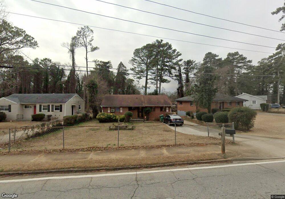
2665 Tilson Rd Decatur, GA 30032
Estimated Value: $177,000 - $323,000
2
Beds
1
Bath
1,220
Sq Ft
$188/Sq Ft
Est. Value
About This Home
This home is located at 2665 Tilson Rd, Decatur, GA 30032 and is currently estimated at $229,763, approximately $188 per square foot. 2665 Tilson Rd is a home located in DeKalb County with nearby schools including McNair Middle School, McNair High School, and St. Peter Claver Regional Catholic School.
Ownership History
Date
Name
Owned For
Owner Type
Purchase Details
Closed on
Jul 11, 2025
Sold by
Wilson Woodrow
Bought by
Wilson Woodrow
Current Estimated Value
Purchase Details
Closed on
Jan 28, 2018
Sold by
Wilson Woodrow
Bought by
Bryant Debbie Renae and Smith Anthony Mashun
Purchase Details
Closed on
Nov 6, 2006
Sold by
Bryant Mary E
Bought by
Wilson Woodrow and Wilson Mary E
Home Financials for this Owner
Home Financials are based on the most recent Mortgage that was taken out on this home.
Original Mortgage
$17,000
Interest Rate
6.25%
Mortgage Type
New Conventional
Create a Home Valuation Report for This Property
The Home Valuation Report is an in-depth analysis detailing your home's value as well as a comparison with similar homes in the area
Home Values in the Area
Average Home Value in this Area
Purchase History
| Date | Buyer | Sale Price | Title Company |
|---|---|---|---|
| Wilson Woodrow | -- | -- | |
| Bryant Debbie Renae | $271,600 | -- | |
| Wilson Woodrow | -- | -- |
Source: Public Records
Mortgage History
| Date | Status | Borrower | Loan Amount |
|---|---|---|---|
| Previous Owner | Wilson Woodrow | $17,000 |
Source: Public Records
Tax History Compared to Growth
Tax History
| Year | Tax Paid | Tax Assessment Tax Assessment Total Assessment is a certain percentage of the fair market value that is determined by local assessors to be the total taxable value of land and additions on the property. | Land | Improvement |
|---|---|---|---|---|
| 2025 | $2,148 | $72,640 | $34,000 | $38,640 |
| 2024 | $2,233 | $74,080 | $34,000 | $40,080 |
| 2023 | $2,233 | $81,520 | $32,200 | $49,320 |
| 2022 | $1,892 | $62,720 | $11,400 | $51,320 |
| 2021 | $1,698 | $54,320 | $11,400 | $42,920 |
| 2020 | $1,325 | $40,040 | $11,400 | $28,640 |
| 2019 | $1,202 | $36,800 | $2,120 | $34,680 |
| 2018 | $634 | $21,680 | $2,120 | $19,560 |
| 2017 | $694 | $18,800 | $2,120 | $16,680 |
| 2016 | $520 | $16,800 | $2,120 | $14,680 |
| 2014 | -- | $9,160 | $2,040 | $7,120 |
Source: Public Records
Map
Nearby Homes
- 2671 Tilson Rd
- 2653 Tilson Rd
- 2076 Windy Hill Rd
- 2554 Brentwood Rd
- 2564 Brentwood Rd
- 2490 Brentwood Rd
- 2505 Mellville Ave
- 2196 Knoll Dr
- 2203 Knoll Dr
- 2425 Mellville Ave
- 2191 Greystone Way
- 2453 Mellville Ave
- 2529 Habersham Dr
- 2592 Habersham Dr
- 2508 Fontaine Cir
- 2568 Fontaine Cir
- 2361 Collier Dr
- 2549 Fontaine Cir
- 2369 Mcafee Rd
- 2390 Mellville Ave
- 2659 Tilson Rd
- 2677 Tilson Rd
- 2647 Tilson Rd
- 2681 Tilson Rd
- 2641 Tilson Rd
- 2687 Tilson Rd
- 2660 Tilson Rd
- 2660 Tilson Rd Unit 12
- 2664 Tilson Rd
- 2656 Tilson Rd
- 2668 Tilson Rd
- 2652 Tilson Rd
- 2672 Tilson Rd
- 2648 Tilson Rd
- 2130 Birkdale Terrace Unit 17
- 2130 Birkdale Terrace
- 2676 Tilson Rd
- 2631 Tilson Rd
- 2642 Tilson Rd
- 2697 Tilson Rd