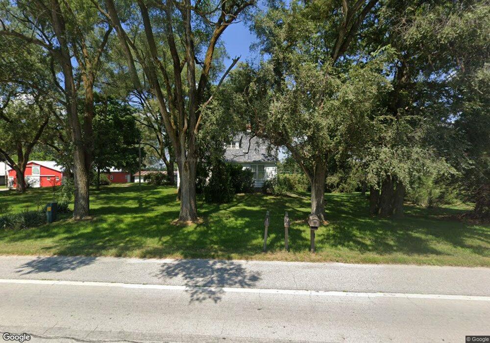
2666 W State Road 10 Wheatfield, IN 46392
Estimated Value: $350,000 - $478,696
4
Beds
1
Bath
1,968
Sq Ft
$205/Sq Ft
Est. Value
About This Home
This home is located at 2666 W State Road 10, Wheatfield, IN 46392 and is currently estimated at $403,899, approximately $205 per square foot. 2666 W State Road 10 is a home located in Jasper County with nearby schools including Kankakee Valley High School.
Ownership History
Date
Name
Owned For
Owner Type
Purchase Details
Closed on
May 9, 2014
Sold by
Vankley Melvin
Bought by
The Melvin Vankley Revocable Trust
Current Estimated Value
Purchase Details
Closed on
Mar 18, 2011
Sold by
Vankley Arthur and Vankley Alice Mae
Bought by
Vankley Melvin
Create a Home Valuation Report for This Property
The Home Valuation Report is an in-depth analysis detailing your home's value as well as a comparison with similar homes in the area
Home Values in the Area
Average Home Value in this Area
Purchase History
| Date | Buyer | Sale Price | Title Company |
|---|---|---|---|
| The Melvin Vankley Revocable Trust | -- | None Available | |
| Vankley Melvin | -- | None Available |
Source: Public Records
Tax History Compared to Growth
Tax History
| Year | Tax Paid | Tax Assessment Tax Assessment Total Assessment is a certain percentage of the fair market value that is determined by local assessors to be the total taxable value of land and additions on the property. | Land | Improvement |
|---|---|---|---|---|
| 2024 | $2,304 | $287,800 | $143,300 | $144,500 |
| 2023 | $1,608 | $236,500 | $124,100 | $112,400 |
| 2022 | $1,722 | $209,600 | $103,900 | $105,700 |
| 2021 | $1,660 | $191,600 | $92,300 | $99,300 |
| 2020 | $1,764 | $188,500 | $91,800 | $96,700 |
| 2019 | $1,844 | $194,400 | $99,800 | $94,600 |
| 2018 | $1,628 | $196,400 | $102,400 | $94,000 |
| 2017 | $1,673 | $208,200 | $114,500 | $93,700 |
| 2016 | $1,713 | $216,400 | $120,100 | $96,300 |
| 2014 | $1,378 | $193,900 | $123,800 | $70,100 |
Source: Public Records
Map
Nearby Homes
- 12550 N 350 W
- 3515 Fase Dr
- 3618 Fase Dr
- 0-Lot 53 Pointer Ln
- 11215 Quail Run Dr S
- 3649 Pointer Ln
- 3289 W 1100 N
- 3582 Quail Run Dr N
- 13318 Robin Ln
- 11625 Laurie Dr
- 2025 Cardinal Dr
- 11250 N 400 W
- 11373 Waters Edge
- 0 W State Rd 10 Unit NRA825352
- 11403 Waters Edge Dr
- 11349 Waters Edge Dr
- 3029 Nelson Ln
- 11609 Salyer Dr
- 10424 Cynthia Ln
- 10411 Cynthia Ln
- 2687 W State Road 10
- 2631 W State Road 10
- 2631 Indiana 10
- 2625 W State Road 10
- 2625 Indiana 10
- 2819 W State Road 10
- 2488 W State Road 10
- 1100 N Concord St
- 1100 N 300 E
- 3112 W State Road 10
- 2199 W State Road 10
- 3156 Indiana 10
- 3218 W State Road 10
- 3225 W State Road 10
- 3274 Indiana 10
- 3274 W State Road 10
- 2121 W State Road 10
- 3299 W State Road 10
- 3340 W State Road 10
- 2071 W State Road 10