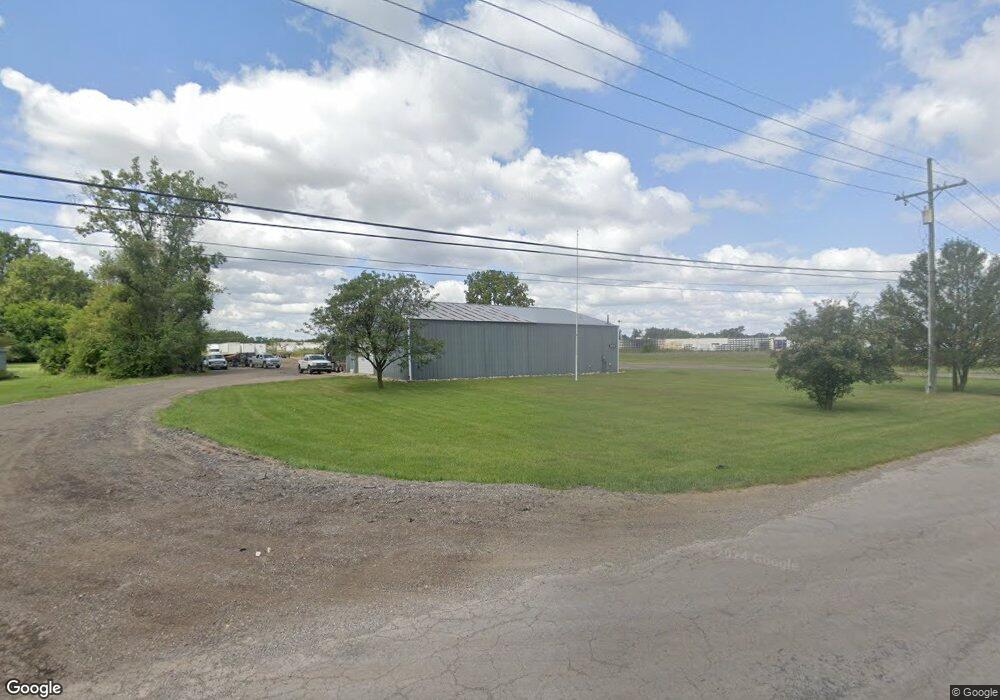
26667 Northline Rd Taylor, MI 48180
Estimated Value: $112,000 - $235,000
--
Bed
--
Bath
3,640
Sq Ft
$44/Sq Ft
Est. Value
About This Home
This home is located at 26667 Northline Rd, Taylor, MI 48180 and is currently estimated at $161,755, approximately $44 per square foot. 26667 Northline Rd is a home located in Wayne County with nearby schools including Holland Elementary School, Hoover Middle School, and Taylor High School.
Ownership History
Date
Name
Owned For
Owner Type
Purchase Details
Closed on
Feb 12, 2016
Sold by
Vanderlinden Robert and Vanderlinden Ann
Bought by
Mcjacks Llc
Current Estimated Value
Purchase Details
Closed on
Oct 20, 2011
Sold by
Monroe Bank & Trust
Bought by
Vanderlinden Robert
Purchase Details
Closed on
Sep 30, 2009
Sold by
Asap Realty Llc
Bought by
Monroe Bank & Trust
Purchase Details
Closed on
Jul 18, 2005
Sold by
Persicone Verginio and Persicone Angelina
Bought by
Persicone Verginio and Verginio Persicone Revocable Living Tr
Create a Home Valuation Report for This Property
The Home Valuation Report is an in-depth analysis detailing your home's value as well as a comparison with similar homes in the area
Home Values in the Area
Average Home Value in this Area
Purchase History
| Date | Buyer | Sale Price | Title Company |
|---|---|---|---|
| Mcjacks Llc | $109,000 | Michigan Title Ins Agency In | |
| Vanderlinden Robert | $50,000 | None Available | |
| Monroe Bank & Trust | $300,927 | None Available | |
| Persicone Verginio | -- | None Available |
Source: Public Records
Tax History Compared to Growth
Tax History
| Year | Tax Paid | Tax Assessment Tax Assessment Total Assessment is a certain percentage of the fair market value that is determined by local assessors to be the total taxable value of land and additions on the property. | Land | Improvement |
|---|---|---|---|---|
| 2025 | $1,728 | $48,600 | $0 | $0 |
| 2024 | $1,728 | $37,800 | $0 | $0 |
| 2023 | $2,157 | $29,700 | $0 | $0 |
| 2022 | $1,625 | $28,600 | $0 | $0 |
| 2021 | $1,887 | $28,300 | $0 | $0 |
| 2020 | $1,867 | $24,400 | $0 | $0 |
| 2019 | $184,399 | $24,600 | $0 | $0 |
| 2018 | $1,452 | $23,800 | $0 | $0 |
| 2017 | $854 | $24,000 | $0 | $0 |
| 2016 | $1,303 | $23,800 | $0 | $0 |
| 2015 | $3,380 | $33,800 | $0 | $0 |
| 2013 | $3,390 | $34,300 | $0 | $0 |
| 2012 | $5,640 | $34,300 | $22,500 | $11,800 |
Source: Public Records
Map
Nearby Homes
- 00000 Northline Rd
- 13504 Fellrath St
- 13529 Fellrath St
- 13717 Fellrath St
- 13744 Mcguire St
- 13753 Mcguire St
- 13161 Golf Pointe Dr
- 14634 Mcguire St
- 14611 Mcguire St
- 14712 Marvin St
- 26531 Eureka Rd
- 14621 New York St
- 12000 Inkster Rd
- 11825 Partridge Dr Unit 74
- 11847 Partridge Dr Unit 75
- 11715 Partridge Dr Unit 69
- 11737 Partridge Dr Unit 70
- 11693 Partridge Dr Unit 38
- 11693 Partridge Dr
- 15143 Siebert St
- 13320 Lange St
- 13410 Lange St
- 13454 Lange St
- 13360 Lange St
- 13402 Lange St
- 13460 Lange St
- 13340 Lange St
- 13455 Lange St
- 13452 Lange St
- 26445 Northline Rd
- 13901 Lange St
- 13932 Lange St
- 000 Northline Rd
- 13570 Lange St
- 13970 Lange St
- 14000 Lange St
- 26925 Northline Rd
- 13400 Harold St
- 13985 Lange St
- 13460 Harold St