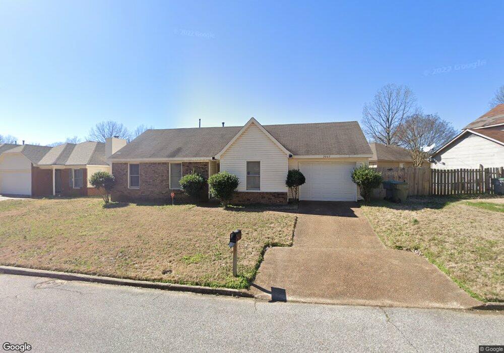
2667 Bay Pointe Cir E Memphis, TN 38128
Raleigh NeighborhoodEstimated Value: $147,372 - $187,000
3
Beds
2
Baths
1,080
Sq Ft
$157/Sq Ft
Est. Value
About This Home
This home is located at 2667 Bay Pointe Cir E, Memphis, TN 38128 and is currently estimated at $169,093, approximately $156 per square foot. 2667 Bay Pointe Cir E is a home located in Shelby County with nearby schools including Raleigh-Bartlett Meadows School, Craigmont Middle School, and Craigmont High School.
Ownership History
Date
Name
Owned For
Owner Type
Purchase Details
Closed on
Jan 31, 2019
Sold by
Prescott Philisia A
Bought by
Prescott Volar M
Current Estimated Value
Purchase Details
Closed on
Oct 22, 2001
Sold by
Prescott Volar M
Bought by
Prescott Philisia A
Purchase Details
Closed on
May 29, 1998
Sold by
King Jerry G Dba and Carl
Bought by
Prescott Volar M and Prescott Philisia A
Home Financials for this Owner
Home Financials are based on the most recent Mortgage that was taken out on this home.
Original Mortgage
$77,418
Interest Rate
7.23%
Mortgage Type
VA
Purchase Details
Closed on
Dec 10, 1996
Sold by
King Jerry G and King Elizabeth
Bought by
Smith Carl and King Jerry G
Create a Home Valuation Report for This Property
The Home Valuation Report is an in-depth analysis detailing your home's value as well as a comparison with similar homes in the area
Home Values in the Area
Average Home Value in this Area
Purchase History
We collect this data history from publicly available records. To have your information removed, we recommend requesting removal directly through your county’s website.
| Date | Buyer | Sale Price | Title Company |
|---|---|---|---|
| Prescott Volar M | -- | None Available | |
| Prescott Philisia A | -- | -- | |
| Prescott Philisia A | -- | -- | |
| Prescott Volar M | $75,900 | -- | |
| Prescott Volar M | $75,900 | -- | |
| Smith Carl | -- | Stewart Title Company |
Source: Public Records
Mortgage History
We collect this data history from publicly available records. To have your information removed, we recommend requesting removal directly through your county’s website.
| Date | Status | Borrower | Loan Amount |
|---|---|---|---|
| Closed | Prescott Volar M | $77,418 |
Source: Public Records
Tax History
| Year | Tax Paid | Tax Assessment Tax Assessment Total Assessment is a certain percentage of the fair market value that is determined by local assessors to be the total taxable value of land and additions on the property. | Land | Improvement |
|---|---|---|---|---|
| 2025 | $729 | $37,275 | $5,750 | $31,525 |
| 2024 | $729 | $21,500 | $4,550 | $16,950 |
| 2023 | $1,310 | $21,500 | $4,550 | $16,950 |
| 2022 | $1,310 | $21,500 | $4,550 | $16,950 |
| 2021 | $742 | $21,500 | $4,550 | $16,950 |
| 2020 | $1,301 | $17,950 | $4,550 | $13,400 |
| 2019 | $574 | $17,950 | $4,550 | $13,400 |
| 2018 | $574 | $17,950 | $4,550 | $13,400 |
| 2017 | $587 | $17,950 | $4,550 | $13,400 |
| 2016 | $820 | $18,775 | $0 | $0 |
| 2014 | $820 | $18,775 | $0 | $0 |
Source: Public Records
Map
Nearby Homes
- 2725 Covington Pike
- 4797 Northfield Cir
- 00 Raleigh Lagrange Rd
- 4757 Northfield Cir
- 4689 Raleigh Lagrange Rd
- 2888 Clearwood Rd
- 2877 Kenneth St
- 4850 Stage Rd
- 2515 Parkview Dr
- 2699 Stage Park Dr
- 4667 Suesand Cove
- 0 Stage Rd Unit 10201799
- 4575 Buffer Dr
- 0 Coleman Rd
- 4564 Stage Rd
- 3217 Joslyn St
- 4450 Tena Dr
- 5167 Rolling Fields Dr
- 2467 Flowering Tree Dr
- 4390 Kamali Ct
- 4961 Chamberlain Ln
- 4953 Chamberlain Ln
- 2695 Bay Pointe Cir E
- 4947 Chamberlain Ln
- 2661 Bay Pointe Cir E
- 2676 Bay Pointe Cir E
- 2680 Bay Pointe Cir E
- 4952 Chamberlain Ln
- 2672 Bay Pointe Cir E
- 4943 Chamberlain Ln
- 2690 Bay Pointe Cir E
- 2668 Bay Pointe Cir E
- 4948 Chamberlain Ln
- 2702 Bay Pointe Cir E
- 2715 Bay Pointe Cir E
- 2657 Bay Pointe Cir E
- 2664 Bay Pointe Cir E
- 4944 Chamberlain Ln
- 4939 Chamberlain Ln
- 2710 Bay Pointe Cir E
Your Personal Tour Guide
Ask me questions while you tour the home.