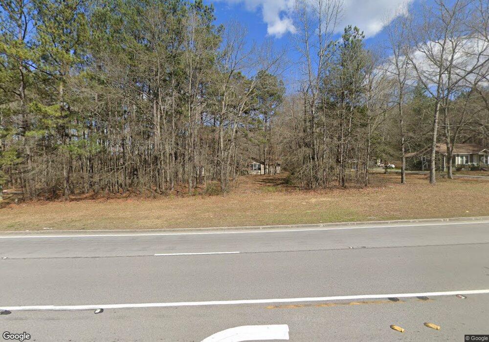
2667 Buchanan Hwy Cedartown, GA 30125
Estimated Value: $209,000 - $309,000
3
Beds
2
Baths
1,387
Sq Ft
$185/Sq Ft
Est. Value
About This Home
This home is located at 2667 Buchanan Hwy, Cedartown, GA 30125 and is currently estimated at $256,561, approximately $184 per square foot. 2667 Buchanan Hwy is a home located in Polk County with nearby schools including Cedar Christian School.
Ownership History
Date
Name
Owned For
Owner Type
Purchase Details
Closed on
Aug 17, 2012
Sold by
Redding John
Bought by
Redding Bonnie R
Current Estimated Value
Purchase Details
Closed on
Oct 3, 2005
Sold by
Mann Derek
Bought by
Redding Bonnie R and Redding John
Home Financials for this Owner
Home Financials are based on the most recent Mortgage that was taken out on this home.
Original Mortgage
$86,246
Interest Rate
5.66%
Mortgage Type
FHA
Purchase Details
Closed on
Mar 9, 2001
Sold by
Rogers David Kyle and Tonya Ann Rogers
Bought by
Mann Derek and Amanda Floyd
Purchase Details
Closed on
Jul 13, 2000
Sold by
Garrett Herman and Garrett Cathy
Bought by
Rogers David Kyle and Tonya Ann
Create a Home Valuation Report for This Property
The Home Valuation Report is an in-depth analysis detailing your home's value as well as a comparison with similar homes in the area
Home Values in the Area
Average Home Value in this Area
Purchase History
| Date | Buyer | Sale Price | Title Company |
|---|---|---|---|
| Redding Bonnie R | $87,600 | -- | |
| Redding Bonnie R | $87,600 | -- | |
| Mann Derek | $81,000 | -- | |
| Rogers David Kyle | $78,000 | -- |
Source: Public Records
Mortgage History
| Date | Status | Borrower | Loan Amount |
|---|---|---|---|
| Previous Owner | Redding Bonnie R | $86,246 |
Source: Public Records
Tax History Compared to Growth
Tax History
| Year | Tax Paid | Tax Assessment Tax Assessment Total Assessment is a certain percentage of the fair market value that is determined by local assessors to be the total taxable value of land and additions on the property. | Land | Improvement |
|---|---|---|---|---|
| 2024 | $1,816 | $88,881 | $5,922 | $82,959 |
| 2023 | $1,376 | $59,990 | $5,922 | $54,068 |
| 2022 | $1,158 | $50,809 | $3,948 | $46,861 |
| 2021 | $1,173 | $50,809 | $3,948 | $46,861 |
| 2020 | $1,176 | $50,809 | $3,948 | $46,861 |
| 2019 | $1,104 | $43,117 | $3,948 | $39,169 |
| 2018 | $1,103 | $42,013 | $3,948 | $38,065 |
| 2017 | $1,158 | $44,568 | $3,948 | $40,620 |
| 2016 | $1,167 | $44,902 | $4,282 | $40,620 |
| 2015 | $1,189 | $45,578 | $4,282 | $41,296 |
| 2014 | $1,198 | $45,578 | $4,282 | $41,296 |
Source: Public Records
Map
Nearby Homes
- 0 Wieuca Way Unit 10614129
- 000 Wieuca Way
- 142 Acres On Judkin Mill Rd
- 95 Wieuca Way
- 00 Buchanan Hwy
- 1987 Buchanan Hwy
- 497 Judkin Mill Rd
- 35 Old Mill Rd
- 766 Antioch Rd
- 00 Antioch Rd
- 0 Buchanan Hwy Unit 10558945
- 0 Youngs Farm Rd Unit 24829378
- 0 Judkin Mill Rd Unit LotWP001 19369404
- 966 Judkin Mill Rd
- 160 Tate Rd
- 0 Old Esom Hill Loop Unit 7654342
- 0 Old Esom Hill Loop Unit 10611077
- 4550 Buchanan Hwy
- 203 Cason Rd
- 0 Johnson Lake Rd Unit 10565145
- 2663 Buchanan Hwy
- 0 Tallapoosa Hwy
- 0 Tallapoosa Hwy Unit 7146054
- 0 Tallapoosa Hwy Unit 20088088
- 0 Tallapoosa Hwy Unit 3220472
- 0 Tallapoosa Hwy Unit 3183124
- 0 Tallapoosa Hwy Unit 8252084
- 0 Tallapoosa Hwy Unit 8169082
- 0 Tallapoosa Hwy Unit 7588463
- 0 Tallapoosa Hwy Unit 8034905
- 0 Tallapoosa Hwy Unit 8375154
- 0 Tallapoosa Hwy Unit 3186136
- 0 Tallapoosa Hwy Unit 9019349
- 0 Tallapoosa Hwy Unit 8089232
- 0 Tallapoosa Hwy Unit 8364354
- 2587 Buchanan Hwy
- 100 Tallapoosa Hwy
- 2692 Buchanan Hwy
- 79 Tallapoosa Hwy
- 9236 Tallapoosa Hwy
