2667 Burnwood Rd Thompson, PA 18465
Estimated Value: $174,380 - $237,000
--
Bed
--
Bath
--
Sq Ft
8
Acres
About This Home
This home is located at 2667 Burnwood Rd, Thompson, PA 18465 and is currently estimated at $205,690. 2667 Burnwood Rd is a home located in Susquehanna County with nearby schools including Susquehanna Community Elementary School and Susquehanna Community Junior/Senior High School.
Ownership History
Date
Name
Owned For
Owner Type
Purchase Details
Closed on
Mar 31, 2021
Sold by
Zimmerman Lester and Zimmerman Cheryl
Bought by
Mcquillan Scott C
Current Estimated Value
Home Financials for this Owner
Home Financials are based on the most recent Mortgage that was taken out on this home.
Original Mortgage
$30,000
Outstanding Balance
$3,728
Interest Rate
2.9%
Mortgage Type
Seller Take Back
Estimated Equity
$201,962
Create a Home Valuation Report for This Property
The Home Valuation Report is an in-depth analysis detailing your home's value as well as a comparison with similar homes in the area
Home Values in the Area
Average Home Value in this Area
Purchase History
| Date | Buyer | Sale Price | Title Company |
|---|---|---|---|
| Mcquillan Scott C | $130,000 | None Available |
Source: Public Records
Mortgage History
| Date | Status | Borrower | Loan Amount |
|---|---|---|---|
| Open | Mcquillan Scott C | $30,000 |
Source: Public Records
Tax History Compared to Growth
Tax History
| Year | Tax Paid | Tax Assessment Tax Assessment Total Assessment is a certain percentage of the fair market value that is determined by local assessors to be the total taxable value of land and additions on the property. | Land | Improvement |
|---|---|---|---|---|
| 2025 | $1,869 | $24,500 | $11,400 | $13,100 |
| 2024 | $1,869 | $24,500 | $11,400 | $13,100 |
| 2023 | $1,829 | $24,500 | $11,400 | $13,100 |
| 2022 | $1,821 | $24,500 | $11,400 | $13,100 |
| 2021 | $1,775 | $24,100 | $11,000 | $13,100 |
| 2020 | $1,683 | $24,100 | $11,000 | $13,100 |
| 2019 | $1,610 | $24,100 | $11,000 | $13,100 |
| 2018 | $1,582 | $24,100 | $11,000 | $13,100 |
| 2017 | $24,100 | $24,100 | $11,000 | $13,100 |
| 2016 | $1,519 | $24,100 | $11,000 | $13,100 |
| 2015 | $253 | $24,100 | $0 | $0 |
| 2014 | $253 | $24,100 | $0 | $0 |
Source: Public Records
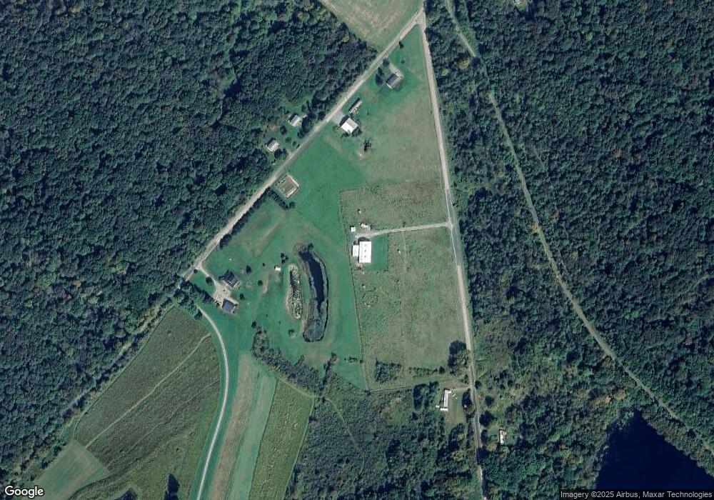
Map
Nearby Homes
- 434 Romobe Lake Rd
- 1405 Ball Pond Rd
- 1 Sartell Rd
- Sartell Rd Lot Unit WP001
- 131 Ball Pond Rd
- Lot 1A May Rd
- 742 May Rd
- Lot 2C Dunn Ln
- 529 Pennsylvania 370
- 15703 State Route 92
- Lot 3 Pennsylvania 171
- 1777 Lamb Rd
- 6010 Fiddle Lake Rd
- 144 Crosstown Hwy
- 14088 Pennsylvania 92
- 9755 State Route 171
- 298 Crosstown Hwy
- 18285 Pennsylvania 92
- 68 Oxbow Rd
- 00 Crossroad Rd
- 860 Hobbs Rd
- 999 Hobbs Rd
- 0 Ararat Rd Unit PWB085691
- 0 Ararat Rd Unit 22-1132
- 1663 Ararat Rd
- 1695 Ararat Rd
- 174 Town House Rd
- 2082 Burnwood Rd
- 1920 Ararat Rd
- 464 Romobe Lake Rd
- 1950 Ararat Rd
- 512 Romobe Lake Rd
- 77 Town House Rd
- 1968 Ararat Rd
- 134 Romobe Lake Rd
- 24 Town House Rd
- 526 School House Rd
- 0 T (Schoolhouse ) Rd Unit T-737
- 316 School House Rd
- 2032 Ridge Rd