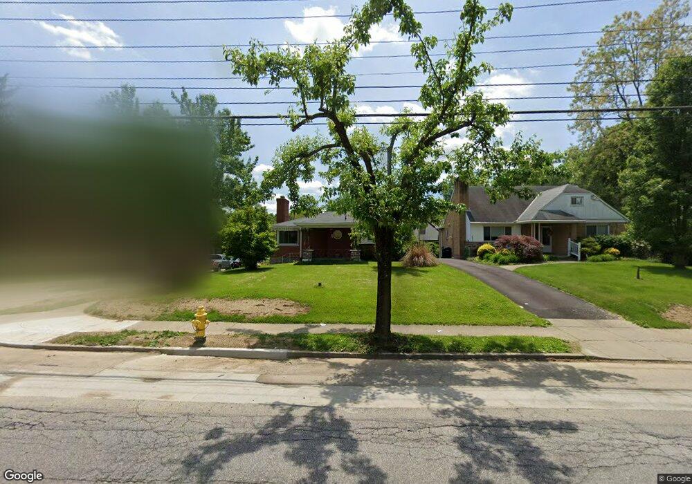
2667 Langdon Farm Rd Cincinnati, OH 45212
Pleasant Ridge NeighborhoodEstimated Value: $299,362 - $428,000
2
Beds
1
Bath
2,607
Sq Ft
$131/Sq Ft
Est. Value
About This Home
This home is located at 2667 Langdon Farm Rd, Cincinnati, OH 45212 and is currently estimated at $341,341, approximately $130 per square foot. 2667 Langdon Farm Rd is a home located in Hamilton County with nearby schools including Pleasant Ridge Montessori School, Shroder High School, and Clark Montessori High School.
Ownership History
Date
Name
Owned For
Owner Type
Purchase Details
Closed on
Nov 28, 2017
Sold by
Bolling William Ll
Bought by
Senita Terry J
Current Estimated Value
Purchase Details
Closed on
Mar 15, 1996
Sold by
Bomkamp Raymond L and Bomkamp Mary F
Bought by
Bolling William L and Bolling Mary J
Home Financials for this Owner
Home Financials are based on the most recent Mortgage that was taken out on this home.
Original Mortgage
$100,900
Interest Rate
7.06%
Mortgage Type
VA
Create a Home Valuation Report for This Property
The Home Valuation Report is an in-depth analysis detailing your home's value as well as a comparison with similar homes in the area
Home Values in the Area
Average Home Value in this Area
Purchase History
| Date | Buyer | Sale Price | Title Company |
|---|---|---|---|
| Senita Terry J | $115,000 | None Available | |
| Bolling William L | $98,000 | -- |
Source: Public Records
Mortgage History
| Date | Status | Borrower | Loan Amount |
|---|---|---|---|
| Previous Owner | Bolling William L | $100,900 |
Source: Public Records
Tax History Compared to Growth
Tax History
| Year | Tax Paid | Tax Assessment Tax Assessment Total Assessment is a certain percentage of the fair market value that is determined by local assessors to be the total taxable value of land and additions on the property. | Land | Improvement |
|---|---|---|---|---|
| 2024 | $4,324 | $71,569 | $22,082 | $49,487 |
| 2023 | $4,421 | $71,569 | $22,082 | $49,487 |
| 2022 | $2,794 | $40,251 | $16,664 | $23,587 |
| 2021 | $2,674 | $40,251 | $16,664 | $23,587 |
| 2020 | $2,751 | $40,251 | $16,664 | $23,587 |
| 2019 | $3,003 | $40,251 | $14,242 | $26,009 |
| 2018 | $3,008 | $40,251 | $14,242 | $26,009 |
| 2017 | $3,315 | $55,766 | $14,242 | $41,524 |
| 2016 | $3,351 | $55,720 | $14,196 | $41,524 |
| 2015 | $3,031 | $55,720 | $14,196 | $41,524 |
| 2014 | $3,054 | $55,720 | $14,196 | $41,524 |
| 2013 | $2,931 | $53,068 | $13,521 | $39,547 |
Source: Public Records
Map
Nearby Homes
- 2805 Langdon Farm Rd
- 7119 Celebration Way
- 6132 Fairway Dr
- 5819 Montgomery Rd
- 5626 Abbottsford St
- 5561 Bosworth Place
- 2805 Lawndale Ave
- 2410 Langdon Farm Rd
- 5541 Bosworth Place
- 5731 Marmion Ln
- 6317 Girard Ave
- 2604 Saint Albans Ave
- 2534 Ridgeland Place
- 6110 Graceland Ave
- 2424 Canterbury Ave
- 2526 Bremont Ave
- 6032 Mayflower Ave
- 5620 Pemberton Ave
- 2324 Langdon Farm Rd
- 2425 Bremont Ave
- 2663 Langdon Farm Rd
- 2801 Langdon Farm Rd
- 6191 Tulane Rd
- 6187 Tulane Rd
- 2803 Langdon Farm Rd
- 2655 Langdon Farm Rd
- 6190 Tulane Rd
- 6186 Tulane Rd
- 2658 Briarcliffe Ave
- 2654 Briarcliffe Ave
- 6182 Tulane Rd
- 2637 Langdon Farm Rd
- 2807 Langdon Farm Rd
- 2650 Briarcliffe Ave
- 6167 Fairway Dr
- 6178 Tulane Rd
- 6163 Fairway Dr
- 2811 Langdon Farm Rd
- 2640 Briarcliffe Ave
- 6175 Tulane Rd