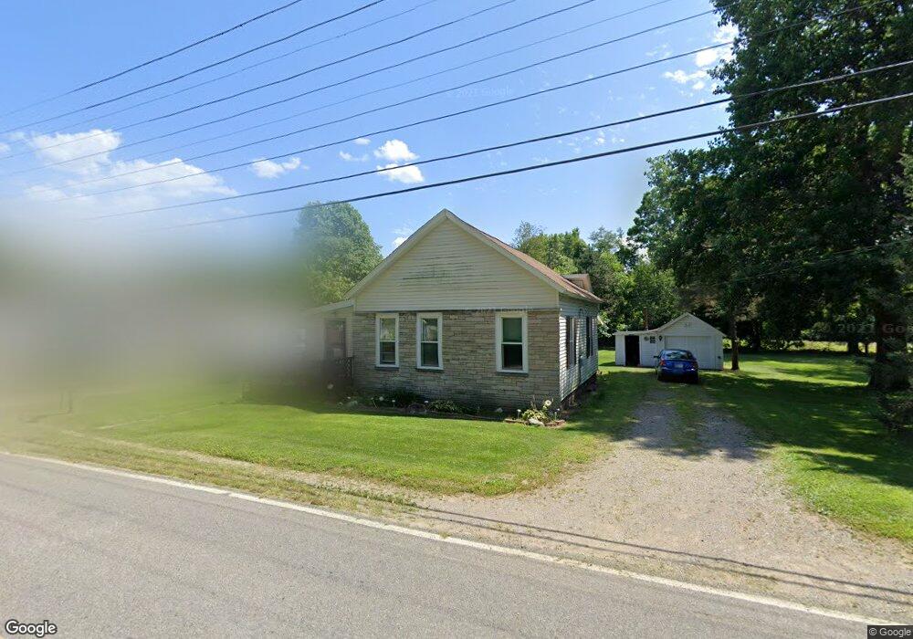
26678 Edison Rd South Bend, IN 46628
Estimated Value: $85,000 - $159,890
2
Beds
1
Bath
950
Sq Ft
$143/Sq Ft
Est. Value
About This Home
This home is located at 26678 Edison Rd, South Bend, IN 46628 and is currently estimated at $135,473, approximately $142 per square foot. 26678 Edison Rd is a home located in St. Joseph County with nearby schools including Paton-Churdan Elementary School, Warren Elementary School, and Clay Intermediate Center.
Ownership History
Date
Name
Owned For
Owner Type
Purchase Details
Closed on
Oct 23, 2025
Sold by
Deal Francine M and Osowski Gloria M
Bought by
Osowski Gloria M and Deal Francine M
Current Estimated Value
Purchase Details
Closed on
Nov 4, 2022
Sold by
Gloria M Osowski Revocable Trust
Bought by
Deal Francine M
Purchase Details
Closed on
Sep 29, 2022
Sold by
Gloria M Osowski Revocable Trust and Osowski Gloria M
Bought by
Deal Francine M
Purchase Details
Closed on
Feb 8, 2016
Sold by
Osowski Gloria M
Bought by
Osowski Trust
Purchase Details
Closed on
Nov 14, 2012
Sold by
Deal Francine
Bought by
Osowski Joseph F and Osowski Gloria M
Create a Home Valuation Report for This Property
The Home Valuation Report is an in-depth analysis detailing your home's value as well as a comparison with similar homes in the area
Home Values in the Area
Average Home Value in this Area
Purchase History
| Date | Buyer | Sale Price | Title Company |
|---|---|---|---|
| Osowski Gloria M | -- | Metropolitan Title | |
| Deal Francine M | -- | -- | |
| Deal Francine M | -- | None Listed On Document | |
| Osowski Trust | -- | -- | |
| Osowski Joseph F | -- | None Available |
Source: Public Records
Tax History Compared to Growth
Tax History
| Year | Tax Paid | Tax Assessment Tax Assessment Total Assessment is a certain percentage of the fair market value that is determined by local assessors to be the total taxable value of land and additions on the property. | Land | Improvement |
|---|---|---|---|---|
| 2024 | $599 | $79,200 | $28,900 | $50,300 |
| 2023 | $535 | $78,600 | $28,900 | $49,700 |
| 2022 | $535 | $78,700 | $28,900 | $49,800 |
| 2021 | $1,540 | $61,600 | $15,300 | $46,300 |
| 2020 | $1,553 | $62,200 | $15,300 | $46,900 |
| 2019 | $1,319 | $62,200 | $15,300 | $46,900 |
| 2018 | $1,471 | $62,400 | $15,300 | $47,100 |
| 2017 | $1,198 | $48,300 | $15,300 | $33,000 |
| 2016 | $1,212 | $48,300 | $15,300 | $33,000 |
| 2014 | $1,205 | $47,500 | $15,300 | $32,200 |
Source: Public Records
Map
Nearby Homes
- 54962 Quince Rd
- 54483 Whitesell Dr
- 54492 Avalon Dr
- 26366 Hummingbird Rd
- 55629 Cardinal Dr
- 54520 Norwood Dr
- 0 Lakewood Dr
- 26427 Evans Dr
- 54221 Longwood Dr
- 25849 Kenwood Dr
- 54000 Block Whitesell Dr
- 25700 Lakewood Dr
- 26896 Mc Arthur Ct
- 26896 Mcarthur Ct
- 26882 Marshall Dr N
- Integrity 1605 Plan at West Pointe Estates
- Integrity 2060 Plan at West Pointe Estates
- Integrity 2280 Plan at West Pointe Estates
- Elements 1680 Plan at West Pointe Estates
- The Gipper Plan at West Pointe Estates
- 26708 Edison Rd
- 26666 Edison Rd
- 26656 Edison Rd
- 26679 Edison Rd
- 26646 Edison Rd
- 26720 Edison Rd
- 26697 Edison Rd
- 26632 Edison Rd
- 26655 Edison Rd
- 26727 Edison Rd
- 26667 Edison Rd
- 26739 Edison Rd
- 26614 Edison Rd
- 26619 Edison Rd
- 26757 Edison Rd
- 26604 Edison Rd
- 26607 Edison Rd
- 26765 Edison Rd
- 26780 Edison Rd
- 26582 Edison Rd