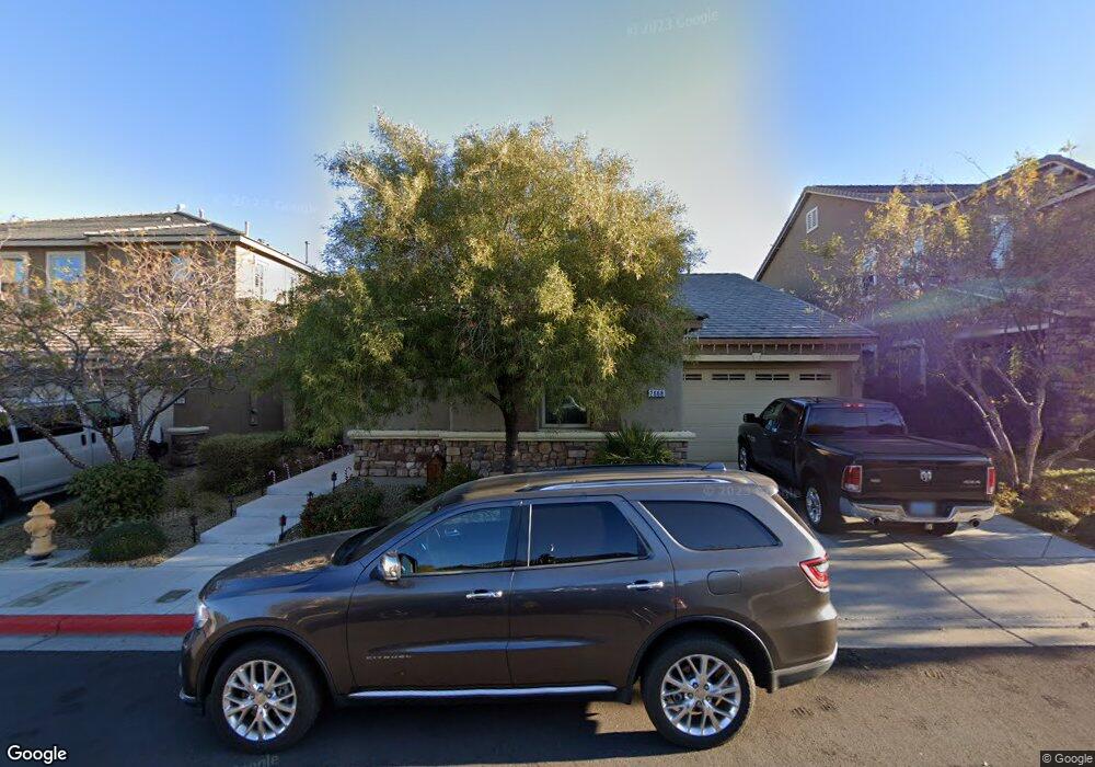
2668 Bad Rock Cir Henderson, NV 89052
Southfork NeighborhoodEstimated Value: $785,045 - $966,000
4
Beds
4
Baths
3,403
Sq Ft
$260/Sq Ft
Est. Value
About This Home
This home is located at 2668 Bad Rock Cir, Henderson, NV 89052 and is currently estimated at $883,511, approximately $259 per square foot. 2668 Bad Rock Cir is a home with nearby schools including Glen C. Taylor Elementary School, Bob Miller Middle School, and Coronado High School.
Ownership History
Date
Name
Owned For
Owner Type
Purchase Details
Closed on
Nov 19, 2012
Sold by
Greystone Nevada Llc
Bought by
Lindley Robert E and Lindley Lisa A
Current Estimated Value
Home Financials for this Owner
Home Financials are based on the most recent Mortgage that was taken out on this home.
Original Mortgage
$367,221
Outstanding Balance
$253,035
Interest Rate
3.33%
Mortgage Type
VA
Estimated Equity
$630,476
Purchase Details
Closed on
Sep 22, 2010
Sold by
Ag/Rw Southern Hills Llc
Bought by
Greystone Nevada Llc
Create a Home Valuation Report for This Property
The Home Valuation Report is an in-depth analysis detailing your home's value as well as a comparison with similar homes in the area
Home Values in the Area
Average Home Value in this Area
Purchase History
| Date | Buyer | Sale Price | Title Company |
|---|---|---|---|
| Lindley Robert E | $355,490 | North American Title Main | |
| Greystone Nevada Llc | $6,120,000 | First American Title Howard |
Source: Public Records
Mortgage History
| Date | Status | Borrower | Loan Amount |
|---|---|---|---|
| Open | Lindley Robert E | $367,221 |
Source: Public Records
Tax History Compared to Growth
Tax History
| Year | Tax Paid | Tax Assessment Tax Assessment Total Assessment is a certain percentage of the fair market value that is determined by local assessors to be the total taxable value of land and additions on the property. | Land | Improvement |
|---|---|---|---|---|
| 2025 | $4,579 | $241,604 | $67,900 | $173,704 |
| 2024 | $4,446 | $241,604 | $67,900 | $173,704 |
| 2023 | $3,591 | $231,379 | $57,750 | $173,629 |
| 2022 | $4,316 | $191,523 | $43,750 | $147,773 |
| 2021 | $4,191 | $179,683 | $43,750 | $135,933 |
| 2020 | $4,066 | $160,780 | $39,900 | $120,880 |
| 2019 | $3,907 | $159,931 | $38,500 | $121,431 |
| 2018 | $3,793 | $147,562 | $31,500 | $116,062 |
| 2017 | $4,056 | $139,941 | $32,550 | $107,391 |
| 2016 | $3,591 | $130,161 | $28,350 | $101,811 |
| 2015 | $3,584 | $124,483 | $25,900 | $98,583 |
| 2014 | $3,480 | $17,500 | $17,500 | $0 |
Source: Public Records
Map
Nearby Homes
- 2656 Bad Rock Cir
- 648 Doubleshot Ln
- 575 Dusty Palms Ln
- 2667 Hourglass Dr
- 2670 Graceful Ln Unit 5
- 679 Great Dane Ct Unit 2
- 511 Broken Shale Cir
- 2647 Hourglass Dr
- 529 Quail Bird Place
- 2753 Saigon Dr
- 521 Dawn Cove Dr
- 505 Enchanted Lakes Dr
- 510 Cosmic Star Place
- 511 Rafkin Place
- 512 Armenian Place
- 741 Wildwood Beach Ave
- 691 Vineland Ave
- 500 Quail Bird Place
- 2587 Mizzoni Cir
- 330 Quiet Harbor Dr
- 2664 Bad Rock Cir
- 2672 Bad Rock Cir
- 2657 Freshly Brewed Ct
- 2661 Freshly Brewed Ct
- 2653 Freshly Brewed Ct
- 2669 Bad Rock Cir
- 2665 Bad Rock Cir
- 2649 Freshly Brewed Ct
- 2673 Bad Rock Cir
- 2661 Bad Rock Cir
- 2645 Freshly Brewed Ct
- 2652 Bad Rock Cir
- 2657 Bad Rock Cir
- 2677 Hollowvale Ln
- 2679 Hollowvale Ln
- 2641 Freshly Brewed Ct
- 669 Coffee Cherries Ct
- 2675 Hollowvale Ln
- 2653 Bad Rock Cir
- 2648 Bad Rock Cir