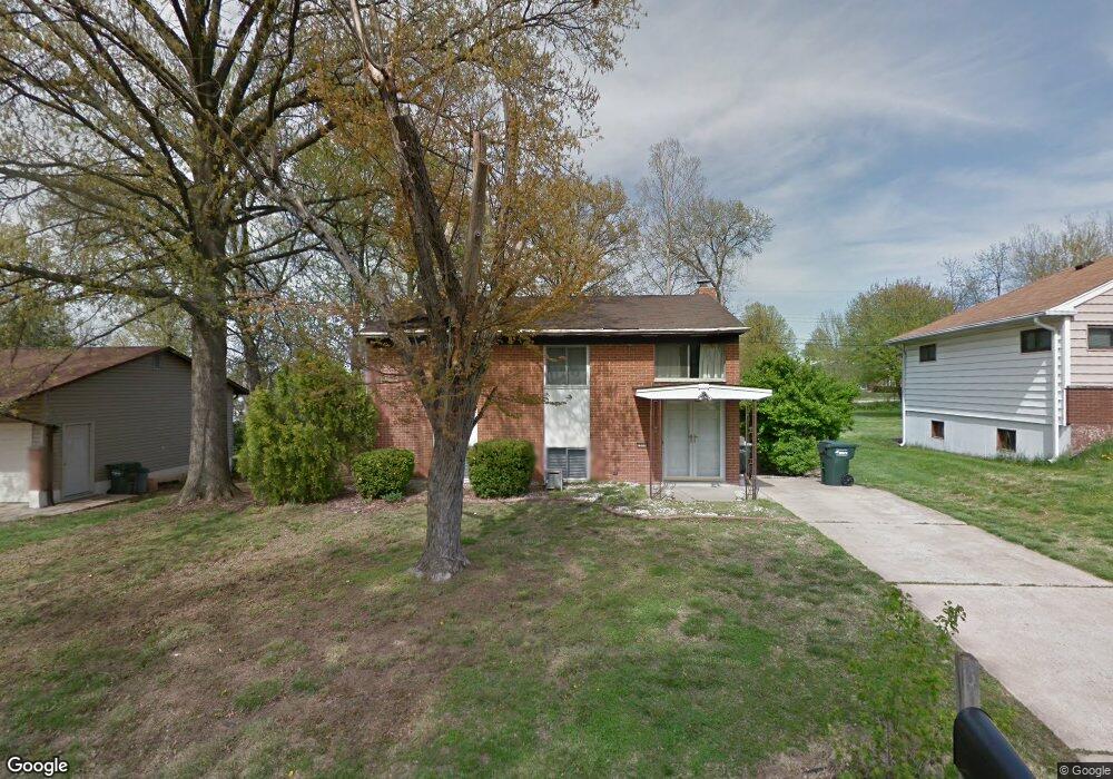
2668 Diane Dr Arnold, MO 63010
Estimated Value: $210,105 - $289,000
Studio
1
Bath
1,280
Sq Ft
$199/Sq Ft
Est. Value
About This Home
This home is located at 2668 Diane Dr, Arnold, MO 63010 and is currently estimated at $254,276, approximately $198 per square foot. 2668 Diane Dr is a home located in Jefferson County with nearby schools including Fox Elementary School, Fox Middle School, and Fox Senior High School.
Ownership History
Date
Name
Owned For
Owner Type
Purchase Details
Closed on
Dec 28, 2015
Sold by
Skelton Gloria M and Skelton Donald G
Bought by
Skelton Donald G
Current Estimated Value
Home Financials for this Owner
Home Financials are based on the most recent Mortgage that was taken out on this home.
Original Mortgage
$115,028
Interest Rate
3.95%
Mortgage Type
FHA
Create a Home Valuation Report for This Property
The Home Valuation Report is an in-depth analysis detailing your home's value as well as a comparison with similar homes in the area
Home Values in the Area
Average Home Value in this Area
Purchase History
| Date | Buyer | Sale Price | Title Company |
|---|---|---|---|
| Skelton Donald G | -- | None Available |
Source: Public Records
Mortgage History
| Date | Status | Borrower | Loan Amount |
|---|---|---|---|
| Closed | Skelton Donald G | $115,028 |
Source: Public Records
Tax History
| Year | Tax Paid | Tax Assessment Tax Assessment Total Assessment is a certain percentage of the fair market value that is determined by local assessors to be the total taxable value of land and additions on the property. | Land | Improvement |
|---|---|---|---|---|
| 2025 | $1,679 | $25,800 | $2,700 | $23,100 |
| 2024 | $1,679 | $24,000 | $2,700 | $21,300 |
| 2023 | $1,679 | $24,000 | $2,700 | $21,300 |
| 2022 | $1,711 | $24,000 | $2,700 | $21,300 |
| 2021 | $1,712 | $24,000 | $2,700 | $21,300 |
| 2020 | $1,624 | $21,600 | $2,300 | $19,300 |
| 2019 | $1,629 | $21,600 | $2,300 | $19,300 |
| 2018 | $1,619 | $21,600 | $2,300 | $19,300 |
| 2016 | $1,398 | $19,700 | $2,500 | $17,200 |
Source: Public Records
Map
Nearby Homes
- 672 Berrywine Ln
- 1258 Arnold Tenbrook Rd
- 1261 Moonlight Dr
- 1267 Arnold Tenbrook Rd
- 809 Brookside Dr
- 0 Unknown Unit 22001740
- 0 Unknown Unit 22071117
- 0 Unknown Unit 22001730
- 0 Unknown Unit 21017758
- 866 Sunset Dr
- 2268 Sunnyridge Dr
- 851 Morningside Ln
- 2287 Tenbrook Rd
- 2554 Starling Airport Rd
- 2216 Jackson Dr
- 447 June Dr
- 3.5 Acres - Ridge Dr
- 423 Kathryn Dr
- 490 Electra Dr
- 2872 Fox Meadow Ln
- 2676 Diane Dr
- 2662 Diane Dr
- 2665 Diane Dr
- 2684 Diane Dr
- 2658 Diane Dr
- 2689 Diane Dr
- 913 Woodridge Dr
- 2655 Diane Dr
- 1060 Deborah Dr
- 1073 Ellen Dr
- 2652 Diane Dr
- 2570 Tanglewood Dr
- 2696 Diane Dr
- 1070 Ellen Dr
- 1049 Arnold Tenbrook Rd
- 924 Woodridge Dr
- 911 Woodridge Dr
- 1066 Deborah Dr
- 2564 Tanglewood Dr
- 926 Woodridge Dr
Your Personal Tour Guide
Ask me questions while you tour the home.