26685 Focht Rd Waynesfield, OH 45896
Estimated Value: $267,000 - $324,000
3
Beds
3
Baths
1,896
Sq Ft
$153/Sq Ft
Est. Value
About This Home
This home is located at 26685 Focht Rd, Waynesfield, OH 45896 and is currently estimated at $289,577, approximately $152 per square foot. 26685 Focht Rd is a home located in Auglaize County with nearby schools including Waynesfield-Goshen Local Elementary School and Waynesfield-Goshen Local High School.
Ownership History
Date
Name
Owned For
Owner Type
Purchase Details
Closed on
Feb 5, 2018
Sold by
Miller Erenst C
Bought by
Harpster Daniel E and Harpster Jennifer E
Current Estimated Value
Home Financials for this Owner
Home Financials are based on the most recent Mortgage that was taken out on this home.
Original Mortgage
$27,400
Interest Rate
3.99%
Mortgage Type
Credit Line Revolving
Purchase Details
Closed on
Feb 9, 1998
Bought by
Harpster David E and Harpster Jennifer E
Create a Home Valuation Report for This Property
The Home Valuation Report is an in-depth analysis detailing your home's value as well as a comparison with similar homes in the area
Home Values in the Area
Average Home Value in this Area
Purchase History
| Date | Buyer | Sale Price | Title Company |
|---|---|---|---|
| Harpster Daniel E | $136,700 | None Available | |
| Harpster David E | -- | -- |
Source: Public Records
Mortgage History
| Date | Status | Borrower | Loan Amount |
|---|---|---|---|
| Closed | Harpster Daniel E | $27,400 |
Source: Public Records
Tax History Compared to Growth
Tax History
| Year | Tax Paid | Tax Assessment Tax Assessment Total Assessment is a certain percentage of the fair market value that is determined by local assessors to be the total taxable value of land and additions on the property. | Land | Improvement |
|---|---|---|---|---|
| 2024 | $4,613 | $73,330 | $17,450 | $55,880 |
| 2023 | $2,574 | $73,330 | $17,450 | $55,880 |
| 2022 | $2,316 | $55,950 | $15,860 | $40,090 |
| 2021 | $2,313 | $55,950 | $15,860 | $40,090 |
| 2020 | $2,267 | $55,948 | $15,862 | $40,086 |
| 2019 | $1,844 | $46,620 | $13,216 | $33,404 |
| 2018 | $1,794 | $46,620 | $13,216 | $33,404 |
| 2017 | $1,797 | $46,620 | $13,216 | $33,404 |
| 2016 | $1,667 | $44,632 | $12,292 | $32,340 |
| 2015 | $1,660 | $44,632 | $12,292 | $32,340 |
| 2014 | $1,663 | $44,632 | $12,292 | $32,340 |
| 2013 | $1,846 | $44,632 | $12,292 | $32,340 |
Source: Public Records
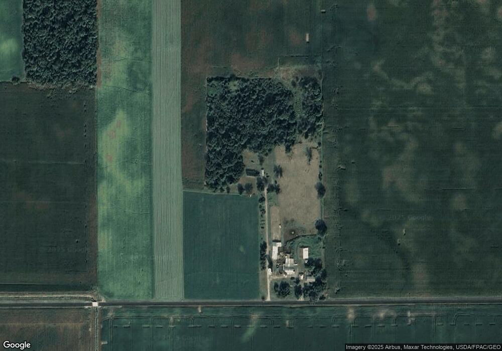
Map
Nearby Homes
- 25836 Ohio 67
- 202 W Mulberry St
- 105 Guthrie St
- 8150 Amherst Rd
- 11352 N Township Road 88
- 22275 Buckland Holden Rd
- 13793 Ohio 235 Unit 75
- 12102 Shannon Dr Unit 89
- 0 Ohio 235
- 12015 Holly Dr
- 11579 Cooper Ave
- 11524 Powhatan Path
- 11773 Sunview Ave
- 11496 Powhatan Path
- 13501 Eagle Path
- 11588 Blackhawk Path
- 11161 Macalpine Way
- 11372 Kickapoo Path
- 11385 Horseshoe Channel Dr
- 11546 Horseshoe Channel Dr
- 26765 Focht Rd
- 16557 Pepple Rd
- 16755 Pepple Rd
- 15672 Off State Route 196
- 16718 Pepple Rd
- 16791 Pepple Rd
- 16849 Pepple Rd
- 15855 State Route 196
- 16547 State Route 196
- 16895 Pepple Rd
- 26622 State Route 67
- 26770 State Route 67
- 26562 State Route 67
- 26534 State Route 67
- 16730 State Route 196
- 26938 State Route 67
- 26414 State Route 67
- 26531 State Route 67
- 27128 Ohio 67