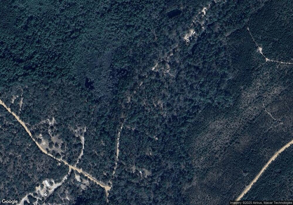
267 Brookside Dr Reidsville, GA 30453
Estimated Value: $60,466 - $136,000
Studio
--
Bath
408
Sq Ft
$268/Sq Ft
Est. Value
About This Home
This home is located at 267 Brookside Dr, Reidsville, GA 30453 and is currently estimated at $109,155, approximately $267 per square foot. 267 Brookside Dr is a home with nearby schools including Tattnall County High School.
Ownership History
Date
Name
Owned For
Owner Type
Purchase Details
Closed on
May 21, 2020
Sold by
Butler Arthur Lee
Bought by
Jones Catherine Jane
Current Estimated Value
Purchase Details
Closed on
Aug 8, 2019
Sold by
Butler Jo Ann H
Bought by
Butler Arthur Lee
Purchase Details
Closed on
Jun 21, 2019
Sold by
Williford Cathy J
Bought by
Jones Catherine Jane
Purchase Details
Closed on
Jul 14, 2006
Sold by
Hall Henry L
Bought by
Butler Jo Ann and Hall Charles H
Purchase Details
Closed on
Feb 28, 2001
Sold by
Hinson Pearl W
Bought by
Hall Henry L and Hall
Create a Home Valuation Report for This Property
The Home Valuation Report is an in-depth analysis detailing your home's value as well as a comparison with similar homes in the area
Purchase History
| Date | Buyer | Sale Price | Title Company |
|---|---|---|---|
| Jones Catherine Jane | -- | -- | |
| Butler Arthur Lee | -- | -- | |
| Jones Catherine Jane | -- | -- | |
| Butler Jo Ann | -- | -- | |
| Hall Henry L | $10,000 | -- |
Source: Public Records
Tax History Compared to Growth
Tax History
| Year | Tax Paid | Tax Assessment Tax Assessment Total Assessment is a certain percentage of the fair market value that is determined by local assessors to be the total taxable value of land and additions on the property. | Land | Improvement |
|---|---|---|---|---|
| 2025 | $160 | $5,720 | $3,280 | $2,440 |
| 2024 | $310 | $11,080 | $2,600 | $8,480 |
| 2023 | $310 | $11,080 | $2,600 | $8,480 |
| 2022 | $277 | $9,880 | $2,600 | $7,280 |
| 2021 | $266 | $9,800 | $2,600 | $7,200 |
| 2020 | $266 | $9,800 | $2,600 | $7,200 |
| 2019 | $274 | $9,880 | $2,600 | $7,280 |
| 2018 | $279 | $9,880 | $2,600 | $7,280 |
| 2017 | $274 | $9,880 | $2,600 | $7,280 |
| 2016 | $226 | $7,960 | $2,600 | $5,360 |
| 2015 | -- | $8,040 | $2,600 | $5,440 |
| 2014 | -- | $8,600 | $2,600 | $6,000 |
| 2013 | -- | $8,600 | $2,600 | $6,000 |
Source: Public Records
Map
Nearby Homes
- 714 Riverbank Rd
- 239 River Moss Rd
- 90 River Moss Rd
- 0 Stoney Brook Way Unit 10523300
- 1656 To Jones Rd
- 00 Bass Rd
- 1427 & 1427C Magnolia Rd
- 314 George McLeod Rd
- 1603 Dl Durrence Rd
- 510 Mallory Rd
- 00 St
- 537 Quick Run Rd
- Rd
- 0 Robert Chapel Cemetery Rd Unit 10519584
- 220 Strickland St
- 2437 Hwy 121
- 106 Nelson St
- 158 Shepards Bridge Rd
- 1014 Jiggs Harden Rd
- 147 Acorn Rd
- 343 Brookside Dr
- 559 Brookside Dr
- W Brookside Dr
- 65 Brookside Dr
- 39 Brookside Dr
- 1 W S Brookside Dr
- 678 Spring Creek Dr
- 323 Spring Creek Dr
- 288 Pine Mountain Dr
- 0 Pine Mountain Dr Unit 154841
- 0 Pine Mountain Dr Unit 7540188
- 0 Pine Mountain Dr Unit 7158434
- 0 Pine Mountain Dr Unit 5.58 Acres 8949360
- 0 Pine Mountain Dr Unit 8098381
- _ Brookside Dr
- 520 Riverbank Rd
- 192 Pine Mountain Dr
- 258 River Moss Rd
- 3.02 Ac Riverbank Rd
- 4.02 Ac Riverbank Rd
