Estimated Value: $651,000 - $710,000
3
Beds
4
Baths
1,944
Sq Ft
$353/Sq Ft
Est. Value
About This Home
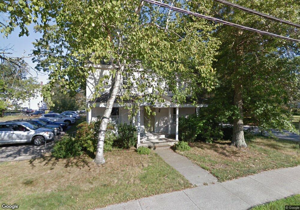
This home is located at 267 Central St, Acton, MA 01720 and is currently estimated at $685,505, approximately $352 per square foot. 267 Central St is a home with nearby schools including Acton-Boxborough Regional High School.
Ownership History
Date
Name
Owned For
Owner Type
Purchase Details
Closed on
Oct 12, 2018
Sold by
Christian Science Soci
Bought by
Ffd Llc
Current Estimated Value
Home Financials for this Owner
Home Financials are based on the most recent Mortgage that was taken out on this home.
Original Mortgage
$213,750
Outstanding Balance
$186,403
Interest Rate
4.5%
Mortgage Type
New Conventional
Estimated Equity
$499,102
Purchase Details
Closed on
Apr 17, 1992
Sold by
Three Pines Rt
Bought by
Christian Science Soc
Create a Home Valuation Report for This Property
The Home Valuation Report is an in-depth analysis detailing your home's value as well as a comparison with similar homes in the area
Home Values in the Area
Average Home Value in this Area
Purchase History
| Date | Buyer | Sale Price | Title Company |
|---|---|---|---|
| Ffd Llc | $285,000 | -- | |
| Christian Science Soc | $150,000 | -- |
Source: Public Records
Mortgage History
| Date | Status | Borrower | Loan Amount |
|---|---|---|---|
| Open | Ffd Llc | $213,750 |
Source: Public Records
Tax History
| Year | Tax Paid | Tax Assessment Tax Assessment Total Assessment is a certain percentage of the fair market value that is determined by local assessors to be the total taxable value of land and additions on the property. | Land | Improvement |
|---|---|---|---|---|
| 2025 | $7,772 | $453,200 | $268,000 | $185,200 |
| 2024 | $7,255 | $435,200 | $268,000 | $167,200 |
| 2023 | $7,214 | $410,800 | $243,600 | $167,200 |
| 2022 | $9,157 | $470,800 | $211,800 | $259,000 |
| 2021 | $6,308 | $311,800 | $196,100 | $115,700 |
| 2020 | $5,999 | $311,800 | $196,100 | $115,700 |
| 2019 | $0 | $374,700 | $235,300 | $139,400 |
| 2018 | $0 | $371,400 | $235,300 | $136,100 |
| 2017 | $0 | $371,400 | $235,300 | $136,100 |
| 2016 | -- | $369,700 | $235,300 | $134,400 |
| 2015 | -- | $364,500 | $245,100 | $119,400 |
| 2014 | -- | $364,500 | $245,100 | $119,400 |
Source: Public Records
Map
Nearby Homes
- 235 Arlington St
- 631 Massachusetts Ave Unit 631
- 92 Willow St Unit 3
- 92 Willow St Unit 2
- 90 Willow St Unit 1
- 20 Joseph Reed Ln
- 5 Perkins Ln
- 134 Russet Ln Unit 134
- 79 Charter Rd
- 7 Kelley Rd
- 184 Main St Unit 3
- 4 Littlefield Rd
- 6 Beacon Ct
- 25 Nylander Way
- 131 Main St
- 129 Main St Unit 129
- 18 Hayward Rd
- 280 W Acton Rd
- 247 W Acton Rd
- 40 High St
- 5 Pearl St
- 3 Pearl St
- 274 Central St
- 277 Central St Unit B
- 273 Central St
- 275 Central St
- 277 Central St Unit A
- 270 Central St
- 578A Mass Ave Unit 578A
- 578 Massachusetts Ave
- 578 Massachusetts Ave Unit A
- 586 Massachusetts Ave
- 590 Massachusetts Ave Unit 5-6
- 590 Massachusetts Ave
- 25 Windsor Ave
- 15 Windsor Ave
- 11 Windsor Ave
- 13 Windsor Ave
- 11 Windsor Ave Unit 11-A
- 13 Windsor Ave Unit 13-A
Your Personal Tour Guide
Ask me questions while you tour the home.