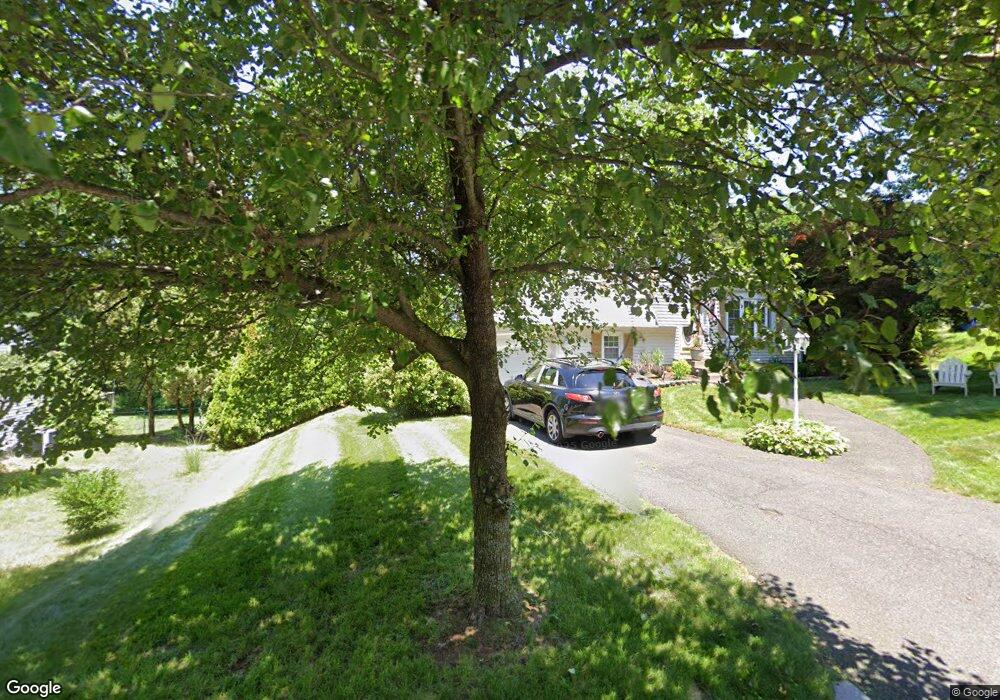
267 Ellendale Cir Springfield, MA 01128
Sixteen Acres NeighborhoodEstimated Value: $326,000 - $348,000
3
Beds
2
Baths
1,104
Sq Ft
$306/Sq Ft
Est. Value
About This Home
This home is located at 267 Ellendale Cir, Springfield, MA 01128 and is currently estimated at $337,621, approximately $305 per square foot. 267 Ellendale Cir is a home located in Hampden County with nearby schools including Daniel B Brunton, M Marcus Kiley Middle, and Springfield High School of Science and Technology.
Ownership History
Date
Name
Owned For
Owner Type
Purchase Details
Closed on
Mar 1, 2016
Sold by
Medina Edwin and Medina Betsy
Bought by
Medina Betsy
Current Estimated Value
Purchase Details
Closed on
Oct 26, 2001
Sold by
Rivet Kathleen E
Bought by
Medina Edwin and Santini Betzaida
Home Financials for this Owner
Home Financials are based on the most recent Mortgage that was taken out on this home.
Original Mortgage
$132,350
Interest Rate
6.86%
Mortgage Type
Purchase Money Mortgage
Create a Home Valuation Report for This Property
The Home Valuation Report is an in-depth analysis detailing your home's value as well as a comparison with similar homes in the area
Home Values in the Area
Average Home Value in this Area
Purchase History
| Date | Buyer | Sale Price | Title Company |
|---|---|---|---|
| Medina Betsy | -- | -- | |
| Medina Edwin | $134,000 | -- |
Source: Public Records
Mortgage History
| Date | Status | Borrower | Loan Amount |
|---|---|---|---|
| Previous Owner | Medina Edwin | $132,350 | |
| Previous Owner | Medina Edwin | $58,500 | |
| Previous Owner | Medina Edwin | $57,000 |
Source: Public Records
Tax History
| Year | Tax Paid | Tax Assessment Tax Assessment Total Assessment is a certain percentage of the fair market value that is determined by local assessors to be the total taxable value of land and additions on the property. | Land | Improvement |
|---|---|---|---|---|
| 2025 | $4,315 | $275,200 | $62,900 | $212,300 |
| 2024 | $3,885 | $241,900 | $62,900 | $179,000 |
| 2023 | $3,778 | $221,600 | $59,900 | $161,700 |
| 2022 | $4,069 | $216,200 | $63,100 | $153,100 |
| 2021 | $3,602 | $190,600 | $57,300 | $133,300 |
| 2020 | $3,490 | $178,700 | $57,300 | $121,400 |
| 2019 | $3,277 | $166,500 | $57,300 | $109,200 |
| 2018 | $3,259 | $165,600 | $57,300 | $108,300 |
| 2017 | $3,189 | $162,200 | $57,300 | $104,900 |
| 2016 | $3,049 | $155,100 | $57,300 | $97,800 |
| 2015 | $2,982 | $151,600 | $57,300 | $94,300 |
Source: Public Records
Map
Nearby Homes
- 1962 Allen St
- 17 Skyridge Ln
- 111 Malibu Dr
- 55 Allen St
- 0 Apple Blossom Ln
- 25 Laurelwood Ln
- 15 Lynwood Rd
- 41 Hillside Dr
- 16 Deerfoot Dr
- 86 Wildwood Ave
- 82 Louis Rd
- 24 Wands St
- 81 W Crystal Brook Dr
- 85 Talmadge Dr
- 86 Talmadge Dr
- 228 Acrebrook Rd
- 37 Middlebrook Dr
- 208 Tamarack Dr
- 17 Pebble Mill Rd
- 120 Bridle Path Rd
- 285 Ellendale Cir
- 257 Ellendale Cir
- 295 Ellendale Cir
- 67 Paulk Terrace
- 77 Paulk Terrace
- 249 Ellendale Cir
- 270 Ellendale Cir
- 61 Paulk Terrace
- 290 Ellendale Cir
- 260 Ellendale Cir
- 252 Ellendale Cir
- 239 Ellendale Cir
- 280 Ellendale Cir
- 95 Paulk Terrace
- 2000 Parker St
- 244 Ellendale Cir
- 2012 Parker St
- 76 Paulk Terrace
- 1986 Parker St
- 55 Paulk Terrace
Your Personal Tour Guide
Ask me questions while you tour the home.