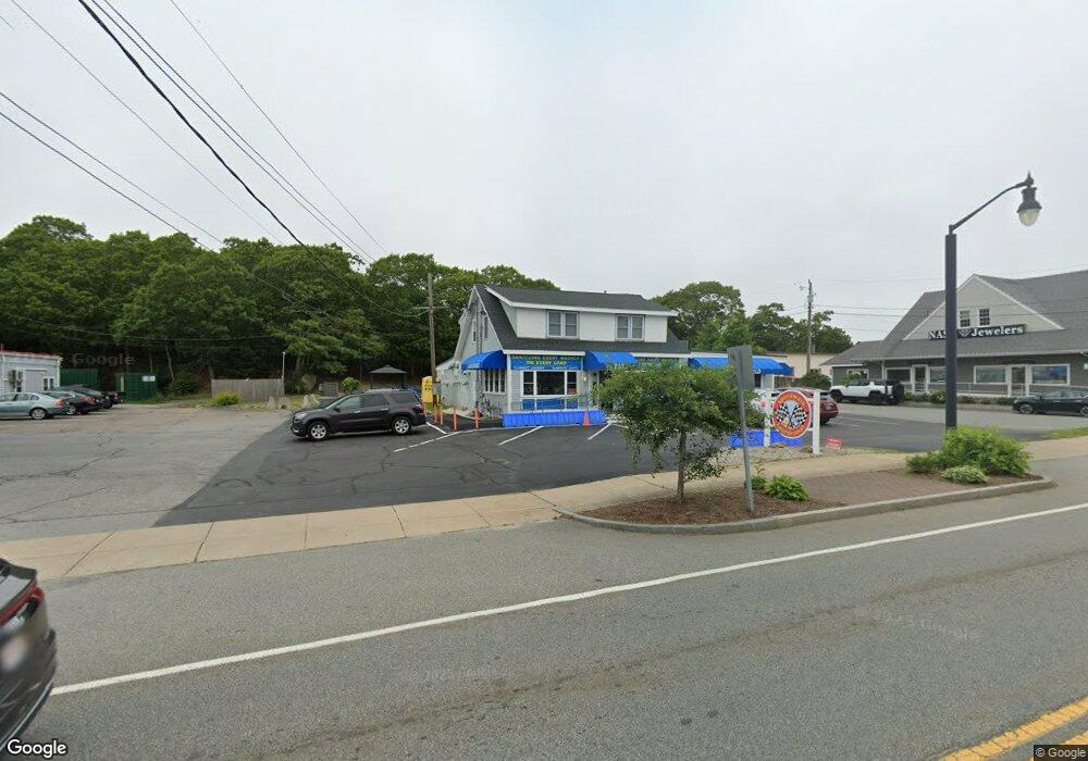
267 Main St Bourne, MA 02532
Buzzards Bay NeighborhoodEstimated Value: $770,989
Studio
--
Bath
5,085
Sq Ft
$152/Sq Ft
Est. Value
About This Home
This home is located at 267 Main St, Bourne, MA 02532 and is currently estimated at $770,989, approximately $151 per square foot. 267 Main St is a home located in Barnstable County with nearby schools including Bourne High School, St Margaret Regional School, and Cadence Academy Preschool - Bourne.
Ownership History
Date
Name
Owned For
Owner Type
Purchase Details
Closed on
Nov 15, 2013
Sold by
Kinsman Debra J
Bought by
Romitch Inc
Current Estimated Value
Purchase Details
Closed on
Jan 4, 2007
Sold by
Capeway Rt and Clark
Bought by
Kinsman Debra J
Home Financials for this Owner
Home Financials are based on the most recent Mortgage that was taken out on this home.
Original Mortgage
$200,000
Interest Rate
6.24%
Mortgage Type
Commercial
Create a Home Valuation Report for This Property
The Home Valuation Report is an in-depth analysis detailing your home's value as well as a comparison with similar homes in the area
Home Values in the Area
Average Home Value in this Area
Purchase History
| Date | Buyer | Sale Price | Title Company |
|---|---|---|---|
| Romitch Inc | $350,000 | -- | |
| Romitch Inc | $350,000 | -- | |
| Kinsman Debra J | $200,000 | -- | |
| Kinsman Debra J | $200,000 | -- |
Source: Public Records
Mortgage History
| Date | Status | Borrower | Loan Amount |
|---|---|---|---|
| Previous Owner | Kinsman Debra J | $200,000 |
Source: Public Records
Tax History
| Year | Tax Paid | Tax Assessment Tax Assessment Total Assessment is a certain percentage of the fair market value that is determined by local assessors to be the total taxable value of land and additions on the property. | Land | Improvement |
|---|---|---|---|---|
| 2025 | $4,174 | $534,500 | $276,700 | $257,800 |
| 2024 | $4,083 | $509,100 | $263,500 | $245,600 |
| 2023 | $4,312 | $489,500 | $253,400 | $236,100 |
| 2022 | $4,514 | $447,400 | $238,300 | $209,100 |
| 2021 | $4,669 | $433,500 | $231,300 | $202,200 |
| 2020 | $4,575 | $426,000 | $226,800 | $199,200 |
| 2019 | $4,363 | $415,100 | $222,300 | $192,800 |
| 2018 | $4,337 | $411,500 | $213,800 | $197,700 |
| 2017 | $4,060 | $394,200 | $199,200 | $195,000 |
| 2016 | $3,445 | $339,100 | $199,200 | $139,900 |
| 2015 | $3,415 | $339,100 | $199,200 | $139,900 |
Source: Public Records
Map
Nearby Homes
- 304 Main St
- 58 Maple St
- 38 Old Bridge Rd
- 6 Honora Ct
- 3 Honora Ln Unit 3
- 23 Alderberry Rd
- 46 Holt Rd Unit B
- 46 Holt Rd
- 60 Sandwich Rd
- 40-A Lafayette Ave
- 44 Cotuit Rd
- 10 Sandy Ln
- 4 Van Bummel Rd
- 5 Zoli Ln
- 60 Bourne Neck Dr
- 9 Hideaway Rd Unit F
- 810 Head of The Bay Rd
- 13 Hideaway Village Unit G
- 24 Ships View Terrace
- 13 Laurel Hill Ct
- 265 Main St
- 271 Main St Unit 5
- 271 Main St Unit 1
- 271 Main St
- 271 Main St Unit 3
- 271 Main St Unit 4
- 271 Main St Unit B
- 271 Main St Unit B
- 271 Main St Unit B1
- 271 Main St Unit front
- 271 Main St Unit 2
- 269 Main St
- 269 Main St
- 12 Wagner Way
- 275 Main St
- 261 Main St
- 269r Main St
- 260 Main St
- 277 Main St
- 277 Main St
Your Personal Tour Guide
Ask me questions while you tour the home.