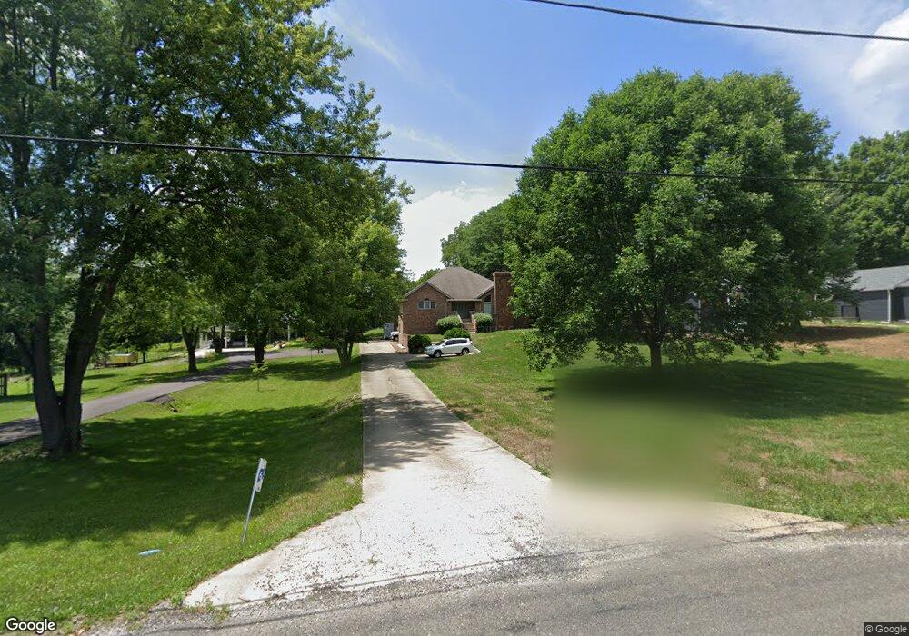
267 N Koke Mill Rd Unit 1 Springfield, IL 62711
Estimated Value: $330,000 - $403,000
3
Beds
2
Baths
3,384
Sq Ft
$108/Sq Ft
Est. Value
About This Home
This home is located at 267 N Koke Mill Rd Unit 1, Springfield, IL 62711 and is currently estimated at $363,965, approximately $107 per square foot. 267 N Koke Mill Rd Unit 1 is a home located in Sangamon County with nearby schools including Dubois Elementary School, U.S. Grant Middle School, and Springfield High School.
Ownership History
Date
Name
Owned For
Owner Type
Purchase Details
Closed on
Jun 27, 2008
Current Estimated Value
Purchase Details
Closed on
May 30, 2002
Purchase Details
Closed on
Apr 4, 2002
Purchase Details
Closed on
Apr 21, 1994
Create a Home Valuation Report for This Property
The Home Valuation Report is an in-depth analysis detailing your home's value as well as a comparison with similar homes in the area
Home Values in the Area
Average Home Value in this Area
Purchase History
| Date | Buyer | Sale Price | Title Company |
|---|---|---|---|
| -- | $190,000 | -- | |
| -- | -- | -- | |
| -- | -- | -- | |
| -- | $29,500 | -- |
Source: Public Records
Tax History Compared to Growth
Tax History
| Year | Tax Paid | Tax Assessment Tax Assessment Total Assessment is a certain percentage of the fair market value that is determined by local assessors to be the total taxable value of land and additions on the property. | Land | Improvement |
|---|---|---|---|---|
| 2024 | $7,295 | $96,438 | $10,140 | $86,298 |
| 2023 | $7,110 | $89,378 | $9,398 | $79,980 |
| 2022 | $6,698 | $83,375 | $8,767 | $74,608 |
| 2021 | $6,406 | $79,808 | $8,392 | $71,416 |
| 2020 | $5,822 | $78,220 | $8,225 | $69,995 |
| 2019 | $5,672 | $77,800 | $8,181 | $69,619 |
| 2018 | $5,546 | $78,475 | $8,252 | $70,223 |
| 2017 | $5,393 | $77,095 | $8,107 | $68,988 |
| 2016 | $5,179 | $74,517 | $7,836 | $66,681 |
| 2015 | $4,991 | $71,651 | $7,535 | $64,116 |
| 2014 | $4,875 | $70,675 | $7,432 | $63,243 |
| 2013 | $4,793 | $71,173 | $7,484 | $63,689 |
Source: Public Records
Map
Nearby Homes
- 1038 N Koke Mill Rd
- 3229 W Point Dr
- 2929 Cider Mill Ln
- 3805 W Bluffs Rd
- 21 Trailridge Ln
- 801 Coventry Point
- 9 Whisperglen Ln Unit 66
- 6 Whippoorwill Rd Unit 1
- 3008 W Lawrence Ave
- 600 Tecumseh Trail
- 700 Country Meadows Dr
- 313 S Durkin Dr Unit 313
- 2650 Cooper Ave Unit 304
- 2833 White Plains Ct
- 624 Poinsettia Place
- 2508 W Harbauer Ln
- 604 Rock River Rd
- 2608 Cardifs Ave
- 609 Rock River Rd
- 608 Rock River Rd
- 235 N Koke Mill Rd Unit 1
- 279 N Koke Mill Rd
- 224 N Koke Mill Rd
- 223 N Koke Mill Rd Unit 1
- 319 N Koke Mill Rd Unit 1
- 304 N Koke Mill Rd Unit 1
- 264 N Koke Mill Rd Unit 1
- 386 N Koke Mill Rd
- 220 N Koke Mill Rd
- 345 N Koke Mill Rd Unit 1
- 322 N Koke Mill Rd
- 371 N Koke Mill Rd
- 190 N Koke Mill Rd
- 360 N Koke Mill Rd
- 404 Clipper Rd
- 350 N Koke Mill Rd
- 3301 Collingwood Dr Unit M
- 3305 Collingwood Dr
- 3309 Collingwood Dr
- 3313 Collingwood Dr Unit J