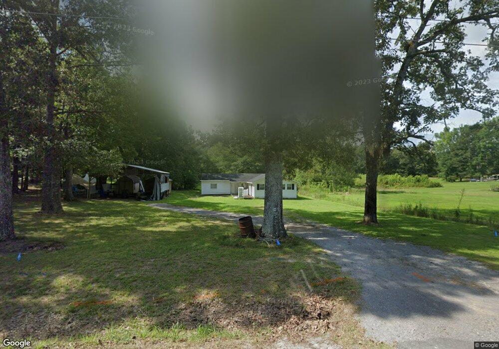
267 Newton Rd Hartselle, AL 35640
Estimated Value: $68,000 - $243,000
--
Bed
--
Bath
1,556
Sq Ft
$100/Sq Ft
Est. Value
About This Home
This home is located at 267 Newton Rd, Hartselle, AL 35640 and is currently estimated at $156,333, approximately $100 per square foot. 267 Newton Rd is a home with nearby schools including Sparkman Elementary School and Albert P. Brewer High School.
Ownership History
Date
Name
Owned For
Owner Type
Purchase Details
Closed on
Apr 6, 2023
Sold by
Jansen Steven G
Bought by
Halbrooks Patrick B and Halbrooks Kristy D
Current Estimated Value
Purchase Details
Closed on
Dec 16, 2015
Sold by
Corum Robert L and Corum Robyn
Bought by
Jansen Steven G
Home Financials for this Owner
Home Financials are based on the most recent Mortgage that was taken out on this home.
Original Mortgage
$59,895
Interest Rate
3.91%
Mortgage Type
FHA
Purchase Details
Closed on
Feb 28, 2005
Sold by
Bomar Milton
Bought by
Corum Reggie L and Corum Robyn
Create a Home Valuation Report for This Property
The Home Valuation Report is an in-depth analysis detailing your home's value as well as a comparison with similar homes in the area
Home Values in the Area
Average Home Value in this Area
Purchase History
| Date | Buyer | Sale Price | Title Company |
|---|---|---|---|
| Halbrooks Patrick B | $61,004 | None Listed On Document | |
| Jansen Steven G | $61,000 | None Available | |
| Corum Reggie L | -- | None Available |
Source: Public Records
Mortgage History
| Date | Status | Borrower | Loan Amount |
|---|---|---|---|
| Previous Owner | Jansen Steven G | $59,895 |
Source: Public Records
Tax History Compared to Growth
Tax History
| Year | Tax Paid | Tax Assessment Tax Assessment Total Assessment is a certain percentage of the fair market value that is determined by local assessors to be the total taxable value of land and additions on the property. | Land | Improvement |
|---|---|---|---|---|
| 2024 | $169 | $2,260 | $2,260 | $0 |
| 2023 | $270 | $8,640 | $2,090 | $6,550 |
| 2022 | $247 | $8,030 | $1,900 | $6,130 |
| 2021 | $201 | $6,820 | $1,700 | $5,120 |
| 2020 | $194 | $11,540 | $1,700 | $9,840 |
| 2019 | $194 | $6,620 | $0 | $0 |
| 2015 | $449 | $12,000 | $0 | $0 |
| 2014 | $449 | $12,000 | $0 | $0 |
| 2013 | -- | $10,640 | $0 | $0 |
Source: Public Records
Map
Nearby Homes
- 1094 Perkins Wood Rd
- 659 Church Rd
- 337 Perry Ave
- 10 Jack Thomas Ct
- 53 Slaten Dr
- 105 New Center Rd
- 400 Still Meadow Rd
- 0 Hobb Ward Rd Unit 21414136
- 12.8 acres Hobb Ward Rd
- 60 Acres Cain Rd
- 275 Cain Rd
- 571 Berry Rd
- 46 Bluff City Rd
- 11 Route 67
- 1 ACRE Highway 67 S
- 16.5 Route 67
- 480 Wildwood Way
- 80 Shirley Hill Rd
- 142 Griffin Rd
- 213 Brookhill Rd
- 266 Newton Rd
- 247 Newton Rd
- 286 Newton Rd
- 227 Newton Rd
- 296 Newton Rd
- 304 Newton Rd
- 966 Perkins Wood Rd
- 314 Newton Rd
- 952 Perkins Wood Rd
- 168 Newton Rd
- 168 Newton Rd
- 1013 Perkins Wood Rd
- 1513 Perkins Wood Rd
- 171 Newton Rd
- 935 Perkins Wood Rd
- 916 Perkins Wood Rd
- 898 Perkins Wood Rd
- 156 Perkins Wood Rd
- 1039 Perkins Wood Rd
- 880 Perkins Wood Rd