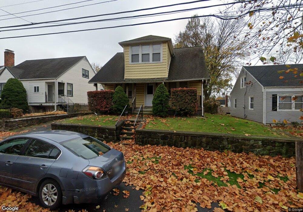
267 Robin St Bridgeport, CT 06606
Brooklawn-Saint Vincent NeighborhoodEstimated Value: $332,000 - $458,000
3
Beds
1
Bath
1,422
Sq Ft
$282/Sq Ft
Est. Value
About This Home
This home is located at 267 Robin St, Bridgeport, CT 06606 and is currently estimated at $401,638, approximately $282 per square foot. 267 Robin St is a home located in Fairfield County with nearby schools including Blackham School, Central High School, and Assumption Catholic School.
Ownership History
Date
Name
Owned For
Owner Type
Purchase Details
Closed on
Jul 28, 2025
Sold by
Curry Carolyn
Bought by
Curry Carolyn and Curry Erica
Current Estimated Value
Purchase Details
Closed on
Aug 27, 1999
Sold by
Capozziello Gregory M
Bought by
Curry Carolyn
Purchase Details
Closed on
Nov 15, 1996
Sold by
Ocwen Federal Bank
Bought by
Capozziello Gregory M
Create a Home Valuation Report for This Property
The Home Valuation Report is an in-depth analysis detailing your home's value as well as a comparison with similar homes in the area
Home Values in the Area
Average Home Value in this Area
Purchase History
| Date | Buyer | Sale Price | Title Company |
|---|---|---|---|
| Curry Carolyn | -- | -- | |
| Curry Carolyn | $128,500 | -- | |
| Curry Carolyn | $128,500 | -- | |
| Capozziello Gregory M | $84,500 | -- | |
| Capozziello Gregory M | $84,500 | -- |
Source: Public Records
Mortgage History
| Date | Status | Borrower | Loan Amount |
|---|---|---|---|
| Previous Owner | Capozziello Gregory M | $218,450 | |
| Previous Owner | Capozziello Gregory M | $232,000 |
Source: Public Records
Tax History
| Year | Tax Paid | Tax Assessment Tax Assessment Total Assessment is a certain percentage of the fair market value that is determined by local assessors to be the total taxable value of land and additions on the property. | Land | Improvement |
|---|---|---|---|---|
| 2025 | $6,464 | $148,770 | $75,310 | $73,460 |
| 2024 | $6,464 | $148,770 | $75,310 | $73,460 |
| 2023 | $6,464 | $148,770 | $75,310 | $73,460 |
| 2022 | $6,464 | $148,770 | $75,310 | $73,460 |
| 2021 | $6,464 | $148,770 | $75,310 | $73,460 |
| 2020 | $5,902 | $109,320 | $42,490 | $66,830 |
| 2019 | $5,902 | $109,320 | $42,490 | $66,830 |
| 2018 | $5,944 | $109,320 | $42,490 | $66,830 |
| 2017 | $5,944 | $109,320 | $42,490 | $66,830 |
| 2016 | $5,944 | $109,320 | $42,490 | $66,830 |
| 2015 | $5,766 | $136,630 | $51,410 | $85,220 |
| 2014 | $5,766 | $136,630 | $51,410 | $85,220 |
Source: Public Records
Map
Nearby Homes
- 95 Alexander Ave
- 125 Garden Dr
- 156 Garden Dr Unit 158
- 125 Alexander Dr
- 85 Alexander Dr
- 2675 Park Ave Unit 26
- 2625 Park Ave Unit 9R
- 11 Stratfield Place
- 525 Westfield Ave
- 105 Tremont Ave Unit E
- 105 Tremont Ave Unit 2
- 671 Fairview Ave
- 3200 Park Ave Unit 5F1
- 631 Fairview Ave
- 405 Westfield Ave
- 254 Wayne St
- 260 Toilsome Place
- 123 Harlem Ave
- 26 Marsdale Ave
- 1440 Wood Ave
Your Personal Tour Guide
Ask me questions while you tour the home.