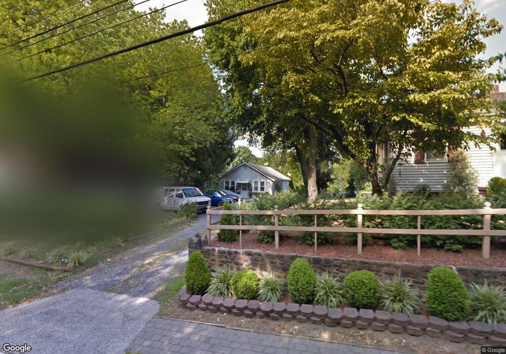
267 S Lenola Rd Moorestown, NJ 08057
Estimated Value: $334,000 - $370,000
--
Bed
--
Bath
1,125
Sq Ft
$308/Sq Ft
Est. Value
About This Home
This home is located at 267 S Lenola Rd, Moorestown, NJ 08057 and is currently estimated at $346,554, approximately $308 per square foot. 267 S Lenola Rd is a home located in Burlington County with nearby schools including Mary E. Roberts Elementary School, Moorestown Upper Elementary School, and William Allen Middle School.
Ownership History
Date
Name
Owned For
Owner Type
Purchase Details
Closed on
Apr 30, 2007
Sold by
Taber Alan Everett and Taber Jessica Jean
Bought by
Bosanac Predrag and Bosanac Petra
Current Estimated Value
Home Financials for this Owner
Home Financials are based on the most recent Mortgage that was taken out on this home.
Original Mortgage
$8,467
Interest Rate
6.21%
Mortgage Type
Stand Alone Second
Purchase Details
Closed on
Jan 31, 2001
Sold by
Cate David G and Cate Melody A
Bought by
Taber Alan
Home Financials for this Owner
Home Financials are based on the most recent Mortgage that was taken out on this home.
Original Mortgage
$85,500
Interest Rate
7.13%
Create a Home Valuation Report for This Property
The Home Valuation Report is an in-depth analysis detailing your home's value as well as a comparison with similar homes in the area
Home Values in the Area
Average Home Value in this Area
Purchase History
| Date | Buyer | Sale Price | Title Company |
|---|---|---|---|
| Bosanac Predrag | $215,000 | Commonwealth Land Title Insu | |
| Taber Alan | $95,000 | Congress Title Corp |
Source: Public Records
Mortgage History
| Date | Status | Borrower | Loan Amount |
|---|---|---|---|
| Closed | Bosanac Predrag | $8,467 | |
| Open | Bosanac Predrag | $211,678 | |
| Previous Owner | Taber Alan | $85,500 |
Source: Public Records
Tax History Compared to Growth
Tax History
| Year | Tax Paid | Tax Assessment Tax Assessment Total Assessment is a certain percentage of the fair market value that is determined by local assessors to be the total taxable value of land and additions on the property. | Land | Improvement |
|---|---|---|---|---|
| 2025 | $4,248 | $148,600 | $68,400 | $80,200 |
| 2024 | $4,121 | $148,600 | $68,400 | $80,200 |
| 2023 | $4,121 | $148,600 | $68,400 | $80,200 |
| 2022 | $4,100 | $148,600 | $68,400 | $80,200 |
| 2021 | $4,048 | $148,600 | $68,400 | $80,200 |
| 2020 | $4,021 | $148,600 | $68,400 | $80,200 |
| 2019 | $3,948 | $148,600 | $68,400 | $80,200 |
| 2018 | $3,832 | $148,600 | $68,400 | $80,200 |
| 2017 | $3,858 | $148,600 | $68,400 | $80,200 |
| 2016 | $3,840 | $148,600 | $68,400 | $80,200 |
| 2015 | $3,789 | $148,600 | $68,400 | $80,200 |
| 2014 | $3,604 | $148,600 | $68,400 | $80,200 |
Source: Public Records
Map
Nearby Homes
- 403 S Lenola Rd
- 21 Foxwood Dr Unit 21
- 115 E Kings Hwy Unit 386
- 115 E Kings Hwy Unit 410
- 115 E Kings Hwy Unit 444
- 115 E Kings Hwy Unit 443
- 206 E Camden Ave
- 114 Grant Ave
- 801 E Camden Ave
- 14 Vincent Way
- 99 Grant Ave
- 21 N Lenola Rd
- 149 Chalkboard Ct
- 709 Manor Terrace
- 601 Stratford Dr
- 600 Stratford Dr
- 531 Covington Terrace
- 306 E Rudderow Ave
- 31 S Boulevard Ave
- 519 N Lincoln Ave