267 Silver Branch Trail Deland, FL 32724
North DeLand NeighborhoodEstimated Value: $306,664 - $346,000
3
Beds
2
Baths
2,004
Sq Ft
$164/Sq Ft
Est. Value
About This Home
This home is located at 267 Silver Branch Trail, Deland, FL 32724 and is currently estimated at $328,166, approximately $163 per square foot. 267 Silver Branch Trail is a home located in Volusia County with nearby schools including George W. Marks Elementary School, Deland High School, and Deland Middle School.
Ownership History
Date
Name
Owned For
Owner Type
Purchase Details
Closed on
Dec 30, 2004
Sold by
Brant Ethel L
Bought by
Brant Thomas A and Brant Ethel L
Current Estimated Value
Purchase Details
Closed on
Jan 29, 1997
Sold by
Wheelock Barbara E and Ketchum Karen
Bought by
Brant Ethel L
Purchase Details
Closed on
Sep 10, 1993
Sold by
Trails Inc
Bought by
Wheelock Barbara E and Koch Karen
Home Financials for this Owner
Home Financials are based on the most recent Mortgage that was taken out on this home.
Original Mortgage
$8,085
Interest Rate
7.22%
Create a Home Valuation Report for This Property
The Home Valuation Report is an in-depth analysis detailing your home's value as well as a comparison with similar homes in the area
Home Values in the Area
Average Home Value in this Area
Purchase History
| Date | Buyer | Sale Price | Title Company |
|---|---|---|---|
| Brant Thomas A | -- | -- | |
| Brant Ethel L | $15,000 | -- | |
| Wheelock Barbara E | $13,200 | -- |
Source: Public Records
Mortgage History
| Date | Status | Borrower | Loan Amount |
|---|---|---|---|
| Previous Owner | Wheelock Barbara E | $8,085 |
Source: Public Records
Tax History Compared to Growth
Tax History
| Year | Tax Paid | Tax Assessment Tax Assessment Total Assessment is a certain percentage of the fair market value that is determined by local assessors to be the total taxable value of land and additions on the property. | Land | Improvement |
|---|---|---|---|---|
| 2025 | $1,510 | $110,053 | -- | -- |
| 2024 | $1,510 | $106,952 | -- | -- |
| 2023 | $1,510 | $103,837 | $0 | $0 |
| 2022 | $1,448 | $100,813 | $0 | $0 |
| 2021 | $1,458 | $97,877 | $0 | $0 |
| 2020 | $1,430 | $96,526 | $0 | $0 |
| 2019 | $1,452 | $94,356 | $0 | $0 |
| 2018 | $1,427 | $92,597 | $0 | $0 |
| 2017 | $1,399 | $90,692 | $0 | $0 |
| 2016 | $1,333 | $88,827 | $0 | $0 |
| 2015 | $1,349 | $88,210 | $0 | $0 |
| 2014 | $1,330 | $87,510 | $0 | $0 |
Source: Public Records
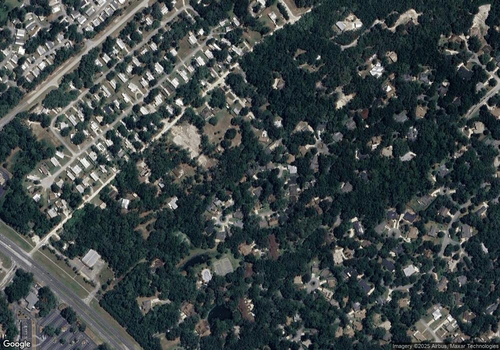
Map
Nearby Homes
- 3516 Jerathan Dr
- 66 Elmwood Trail
- 63 Fernwood Trail
- 920 Shady Branch Trail
- 160 Cutbank Trail
- 29 Ramblewood Trail
- 287 Crooked Tree Trail Unit 4
- 55 Wildwood Trail
- 4111 Woodland Cir
- 337 Spring Lake Dr Unit 210
- 238 Crooked Tree Trail
- 105 Live Oak Dr Unit 245
- 256 Crooked Tree Trail
- 219 Brevity Ln
- 112 Live Oak Dr
- 165 Cypress Point N
- 130 Oakleaf Cir
- 126 Conneaut Terrace Unit 139
- 201 Oakleaf Cir
- 168 N Cypress Point Unit 159
- 273 Silver Branch Trail
- 261 Silver Branch Trail
- 255 Silver Branch Trail
- 279 Silver Branch Trail
- 260 Silver Branch Trail
- 430 Secluded Oaks Trail
- 249 Silver Branch Trail
- 450 Secluded Oaks Trail Unit 10
- 307 Shady Branch Trail
- 3500 Jerathan Dr
- 416 Secluded Oaks Trail
- 443 Secluded Oaks Trail
- 200 Silver Branch Trail
- 243 Silver Branch Trail
- 449 Secluded Oaks Trail
- 437 Secluded Oaks Trail
- 431 Secluded Oaks Trail
- 3532 Jerathan Dr
- 237 Silver Branch Trail
- 206 Silver Branch Trail