2670 Astoria Blvd Unit 10 Howell, MI 48843
Estimated Value: $453,000 - $513,000
--
Bed
1
Bath
2,444
Sq Ft
$194/Sq Ft
Est. Value
About This Home
This home is located at 2670 Astoria Blvd Unit 10, Howell, MI 48843 and is currently estimated at $475,119, approximately $194 per square foot. 2670 Astoria Blvd Unit 10 is a home located in Livingston County with nearby schools including H.T. Smith Elementary School, Natalie Kreeger Elementary School, and Fowlerville Junior High School.
Ownership History
Date
Name
Owned For
Owner Type
Purchase Details
Closed on
Nov 28, 2001
Sold by
Sunshine Development Inc
Bought by
Watts Christopher W and Watts Brenda K
Current Estimated Value
Home Financials for this Owner
Home Financials are based on the most recent Mortgage that was taken out on this home.
Original Mortgage
$218,400
Outstanding Balance
$85,024
Interest Rate
6.52%
Estimated Equity
$390,095
Create a Home Valuation Report for This Property
The Home Valuation Report is an in-depth analysis detailing your home's value as well as a comparison with similar homes in the area
Home Values in the Area
Average Home Value in this Area
Purchase History
| Date | Buyer | Sale Price | Title Company |
|---|---|---|---|
| Watts Christopher W | $229,900 | -- |
Source: Public Records
Mortgage History
| Date | Status | Borrower | Loan Amount |
|---|---|---|---|
| Open | Watts Christopher W | $218,400 |
Source: Public Records
Tax History Compared to Growth
Tax History
| Year | Tax Paid | Tax Assessment Tax Assessment Total Assessment is a certain percentage of the fair market value that is determined by local assessors to be the total taxable value of land and additions on the property. | Land | Improvement |
|---|---|---|---|---|
| 2025 | $3,414 | $229,300 | $0 | $0 |
| 2024 | $1,503 | $218,400 | $0 | $0 |
| 2023 | $1,436 | $194,300 | $0 | $0 |
| 2022 | $3,074 | $141,400 | $0 | $0 |
| 2021 | $2,980 | $152,500 | $0 | $0 |
| 2020 | $2,970 | $141,800 | $0 | $0 |
| 2019 | $2,890 | $141,400 | $0 | $0 |
| 2018 | $2,834 | $129,200 | $0 | $0 |
| 2017 | $2,781 | $129,200 | $0 | $0 |
| 2016 | $2,764 | $126,300 | $0 | $0 |
| 2014 | $1,080 | $97,053 | $0 | $0 |
| 2012 | $1,080 | $92,412 | $0 | $0 |
Source: Public Records
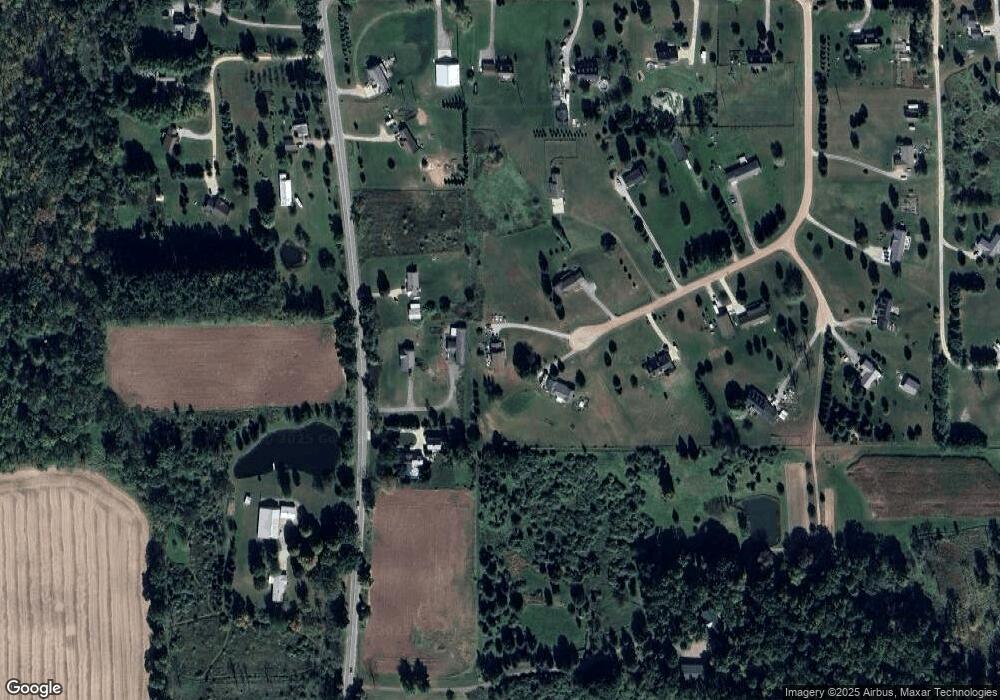
Map
Nearby Homes
- Parcel 20 Munsell Rd
- 7031 Munsell Rd
- 8351 Lange Rd
- 4485 Bull Run Rd
- 0 Adelines (Lot 19) Way Unit 217036320
- 0 Adelines (Lot 20) Way Unit 217036090
- 1088 Kern Rd
- 5748 W Coon Lake Rd
- Parcel A Pingree Rd
- 0000 Pingree Rd
- 5174 Weller Rd
- 00 Fowlerville Rd
- 9810 Iosco Ridge Dr
- 9758 Iosco Ridge Dr
- 323 S Truhn Rd
- V/L Kleinschmidt Rd
- 5663 Iosco Mountain Rd
- 9855 Iosco Ridge Dr
- 625 Fowlerville Rd
- 18999 Weller Rd
- 2657 Astoria Blvd Unit 9
- 2648 Astoria Blvd Unit 11
- 2715 S Bull Run Rd
- 2757 S Bull Run Rd
- 2675 S Bull Run Rd Unit Bldg-Unit
- 2675 S Bull Run Rd
- 2635 Astoria Blvd
- 2626 Astoria Blvd
- 2583 S Bull Run Rd
- 2613 Astoria Blvd Unit 7
- 2668 Steel Ct Unit Bldg-Unit
- 2668 Steel Ct
- 2600 Astoria Blvd Unit 13
- 2860 S Bull Run Rd
- 8035 Munsell Rd
- 2578 S Bull Run Rd
- 7973 Munsell Rd
- 2550 Astoria Blvd
- 2564 S Bull Run Rd
- 2875 S Bull Run Rd