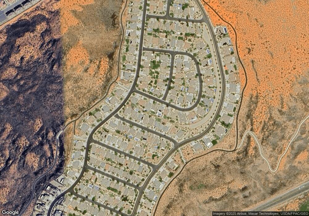
2670 E Rock Land Dr Washington, UT 84780
Highland Park NeighborhoodEstimated Value: $524,759 - $640,000
4
Beds
2
Baths
1,750
Sq Ft
$331/Sq Ft
Est. Value
About This Home
This home is located at 2670 E Rock Land Dr, Washington, UT 84780 and is currently estimated at $579,190, approximately $330 per square foot. 2670 E Rock Land Dr is a home located in Washington County with nearby schools including Coral Canyon School, Pine View Middle School, and Fossil Ridge Intermediate School.
Ownership History
Date
Name
Owned For
Owner Type
Purchase Details
Closed on
Dec 15, 2010
Sold by
Federal National Mortgage Association
Bought by
Jensen Robert D
Current Estimated Value
Purchase Details
Closed on
Nov 2, 2010
Sold by
Ray Ryan S and Ray Amy
Bought by
Federal National Mortgage Association
Purchase Details
Closed on
May 2, 2008
Sold by
Suncor Utah Inc
Bought by
Ray Ryan S and Ray Amy
Home Financials for this Owner
Home Financials are based on the most recent Mortgage that was taken out on this home.
Original Mortgage
$327,655
Interest Rate
5.81%
Mortgage Type
Purchase Money Mortgage
Create a Home Valuation Report for This Property
The Home Valuation Report is an in-depth analysis detailing your home's value as well as a comparison with similar homes in the area
Home Values in the Area
Average Home Value in this Area
Purchase History
| Date | Buyer | Sale Price | Title Company |
|---|---|---|---|
| Jensen Robert D | $196,000 | Southern Utah Title Of Cedar | |
| Federal National Mortgage Association | $367,388 | Etitle Insurance Agency | |
| Ray Ryan S | -- | Southern Utah Title Co | |
| Suncor Utah Inc | -- | Accommodation |
Source: Public Records
Mortgage History
| Date | Status | Borrower | Loan Amount |
|---|---|---|---|
| Previous Owner | Ray Ryan S | $327,655 |
Source: Public Records
Tax History Compared to Growth
Tax History
| Year | Tax Paid | Tax Assessment Tax Assessment Total Assessment is a certain percentage of the fair market value that is determined by local assessors to be the total taxable value of land and additions on the property. | Land | Improvement |
|---|---|---|---|---|
| 2025 | $2,285 | $302,940 | $69,300 | $233,640 |
| 2023 | $2,332 | $294,195 | $55,000 | $239,195 |
| 2022 | $2,417 | $282,370 | $46,750 | $235,620 |
| 2021 | $2,193 | $387,200 | $70,000 | $317,200 |
| 2020 | $2,119 | $351,300 | $65,000 | $286,300 |
| 2019 | $1,978 | $315,600 | $55,000 | $260,600 |
| 2018 | $1,996 | $159,665 | $0 | $0 |
| 2017 | $2,000 | $150,920 | $0 | $0 |
| 2016 | $2,096 | $148,940 | $0 | $0 |
| 2015 | $2,120 | $146,135 | $0 | $0 |
| 2014 | $2,026 | $140,360 | $0 | $0 |
Source: Public Records
Map
Nearby Homes
- 1007 N Mountainside Ave
- 1163 N Crown King Ave
- 1624 N Crown King Ave Unit 121
- 1624 N Crown King Ave Unit 133
- 1624 N Crown King Ave Unit 134
- 1210 N Mistico Alley
- 1189 N Bello Alley
- 1231 N Mistico Alley
- 1235 N Mistico Alley
- 1162 N Riviera Alley
- 2343 E Escondido Dr
- 2323 E Escondido Dr
- Atlas Plan at Solis
- Sonoran Plan at Solis
- Mesa Plan at Solis
- Orion Plan at Solis
- Mojave Plan at Solis
- Highland Plan at Solis
- Apollo Plan at Solis
- Upland at Solis
- 2682 E Rock Land Dr
- 2656 E Rock Land Dr
- 2642 E Rock Land Dr
- 961 N Silver Lode Ave
- 2694 E Rock Land Dr
- 2653 E Clear Point Dr
- 2641 E Clear Point Dr
- 2629 E Clear Point Dr Unit Lot 188
- 2629 E Clear Point Dr
- 2663 E Clear Point Dr
- 2706 E Rock Land Dr
- 986 N Crown King Ave
- 2628 E Rock Land Dr
- 2625 E Rock Land Dr
- 970 N Silver Lode Ave
- 2615 E Clear Point Dr
- 2673 E Clear Point Dr
- 979 N Silver Lode Ave
- 2711 E Rock Land Dr Unit 234
- 998 N Crown King Ave
