2670 State Highway Bb Seymour, MO 65746
Estimated Value: $417,000 - $552,830
4
Beds
2
Baths
1,750
Sq Ft
$277/Sq Ft
Est. Value
About This Home
This home is located at 2670 State Highway Bb, Seymour, MO 65746 and is currently estimated at $484,915, approximately $277 per square foot. 2670 State Highway Bb is a home located in Webster County with nearby schools including Seymour Elementary School, Seymour Middle School, and Seymour High School.
Ownership History
Date
Name
Owned For
Owner Type
Purchase Details
Closed on
Mar 17, 2025
Sold by
Cardwell Ron and Cardwell Angel
Bought by
Cardwell Bowdrie and Cardwell Mindy
Current Estimated Value
Home Financials for this Owner
Home Financials are based on the most recent Mortgage that was taken out on this home.
Original Mortgage
$442,000
Outstanding Balance
$439,746
Interest Rate
6.89%
Mortgage Type
Credit Line Revolving
Estimated Equity
$45,169
Purchase Details
Closed on
May 15, 2024
Sold by
Dix Joint Irrevocable Trust and Dix Charles E
Bought by
Cardwell Ron and Cardwell Angel
Home Financials for this Owner
Home Financials are based on the most recent Mortgage that was taken out on this home.
Original Mortgage
$621,000
Interest Rate
6.82%
Mortgage Type
Credit Line Revolving
Purchase Details
Closed on
Oct 23, 2018
Sold by
Dix Wilmer R
Bought by
Dix Charles E and Dix Joint Irrevocable Trust
Create a Home Valuation Report for This Property
The Home Valuation Report is an in-depth analysis detailing your home's value as well as a comparison with similar homes in the area
Home Values in the Area
Average Home Value in this Area
Purchase History
| Date | Buyer | Sale Price | Title Company |
|---|---|---|---|
| Cardwell Bowdrie | -- | None Listed On Document | |
| Cardwell Ron | -- | None Listed On Document | |
| Dix Charles E | -- | -- |
Source: Public Records
Mortgage History
| Date | Status | Borrower | Loan Amount |
|---|---|---|---|
| Open | Cardwell Bowdrie | $442,000 | |
| Previous Owner | Cardwell Ron | $621,000 |
Source: Public Records
Tax History Compared to Growth
Tax History
| Year | Tax Paid | Tax Assessment Tax Assessment Total Assessment is a certain percentage of the fair market value that is determined by local assessors to be the total taxable value of land and additions on the property. | Land | Improvement |
|---|---|---|---|---|
| 2024 | $1,604 | $38,030 | $0 | $0 |
| 2023 | $1,576 | $38,030 | $0 | $0 |
| 2022 | $1,576 | $38,030 | $0 | $0 |
| 2021 | $1,574 | $38,030 | $0 | $0 |
| 2020 | $1,514 | $34,720 | $0 | $0 |
| 2019 | $1,254 | $34,720 | $0 | $0 |
| 2018 | $1,254 | $34,730 | $0 | $0 |
| 2017 | $1,254 | $34,730 | $0 | $0 |
| 2016 | $1,147 | $31,410 | $0 | $0 |
| 2015 | $1,145 | $31,410 | $0 | $0 |
| 2012 | -- | $31,350 | $0 | $0 |
Source: Public Records
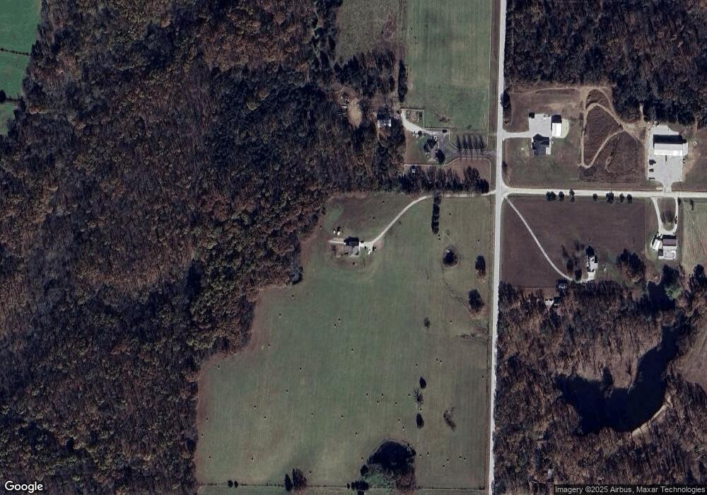
Map
Nearby Homes
- 18313 State Highway Bb
- 792 Frog Pond Rd
- 736 Boardwalk
- 0000 Lots Between K Hwy and Water St
- 201 Pioneer Dr
- 671 Boardwalk
- 107 Melinda St
- 1048 W Thoroughfare St
- 412 S Court St
- 413 S Water St
- 000 State Highway K
- 285 Velma Dr
- 270 Velma Dr
- 244 N Karen Cir
- 414 S A St
- 214 E Center Ave
- 409 E Washington St
- 513 E Summit Ave
- 221 E Center Ave
- 603 E Summit Ave
- 2620 State Highway Bb
- 2771 State Highway Bb
- 2675 State Highway Bb
- 0 Kanel Rolling Acres Unit 11215628
- 2911 State Highway Bb
- 130 Spring Creek Rd
- 1306 Panther Hollow Rd
- 2416 State Highway Bb
- 2418 State Highway Bb
- 2921 State Highway Bb
- 155 Spring Creek Rd
- 150 Spring Creek Rd
- 2433 State Highway Bb
- 2402 State Highway Bb
- 200 Spring Creek Rd
- 110 Brianna Dr
- 148 Brianna Dr
- 3134 State Highway Bb
- 45 Brianna Dr
- 81 Brianna Dr