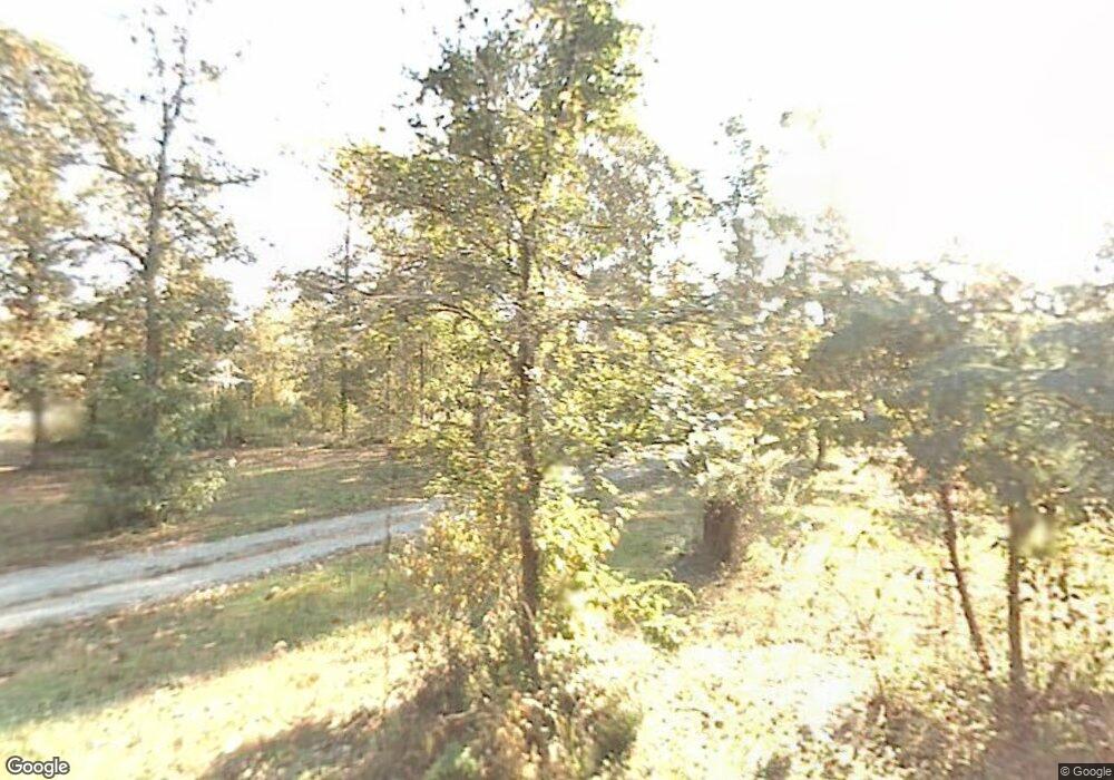
26700 Capps Ln Hensley, AR 72065
Estimated Value: $150,498 - $282,000
--
Bed
--
Bath
1,721
Sq Ft
$131/Sq Ft
Est. Value
About This Home
This home is located at 26700 Capps Ln, Hensley, AR 72065 and is currently estimated at $224,833, approximately $130 per square foot. 26700 Capps Ln is a home located in Saline County with nearby schools including Bates Elementary School and Mills University Studies High School.
Ownership History
Date
Name
Owned For
Owner Type
Purchase Details
Closed on
Jul 25, 2016
Sold by
Capps Donna
Bought by
Capps Michael and Capps Melinda
Current Estimated Value
Purchase Details
Closed on
Oct 12, 2015
Sold by
Capps Troy and Capps Tamara
Bought by
Capps Michael and Capps Melinda
Purchase Details
Closed on
Sep 28, 2015
Sold by
Crowder Tommy and Crowder Mary
Bought by
Capps Michael and Capps Melinda
Purchase Details
Closed on
Sep 23, 2015
Sold by
Reno Ray and Reno Jerri
Bought by
Capps Michael and Capps Melinda
Purchase Details
Closed on
Feb 5, 2008
Sold by
Capps Mike and Capps Melinda
Bought by
Capps Sylvia M and Capps Troy
Purchase Details
Closed on
Mar 28, 2006
Sold by
Capps Sylvia M and Capps Troy
Bought by
Capps Mike
Purchase Details
Closed on
Sep 1, 1987
Bought by
T S and H S
Create a Home Valuation Report for This Property
The Home Valuation Report is an in-depth analysis detailing your home's value as well as a comparison with similar homes in the area
Home Values in the Area
Average Home Value in this Area
Purchase History
| Date | Buyer | Sale Price | Title Company |
|---|---|---|---|
| Capps Michael | -- | None Available | |
| Capps Michael | -- | None Available | |
| Capps Michael | -- | None Available | |
| Capps Michael | -- | None Available | |
| Capps Sylvia M | -- | None Available | |
| Capps Mike | -- | -- | |
| Capps Mike | -- | -- | |
| T S | $12,500 | -- |
Source: Public Records
Tax History Compared to Growth
Tax History
| Year | Tax Paid | Tax Assessment Tax Assessment Total Assessment is a certain percentage of the fair market value that is determined by local assessors to be the total taxable value of land and additions on the property. | Land | Improvement |
|---|---|---|---|---|
| 2025 | $826 | $18,078 | $15,400 | $2,678 |
| 2024 | $757 | $18,078 | $15,400 | $2,678 |
| 2023 | $541 | $18,078 | $15,400 | $2,678 |
| 2022 | $676 | $18,078 | $15,400 | $2,678 |
| 2021 | $413 | $13,750 | $7,700 | $6,050 |
| 2020 | $413 | $13,750 | $7,700 | $6,050 |
| 2019 | $413 | $7,700 | $7,700 | $0 |
| 2018 | $483 | $7,700 | $7,700 | $0 |
| 2017 | $483 | $7,700 | $7,700 | $0 |
| 2016 | $388 | $7,700 | $7,700 | $0 |
| 2015 | $388 | $7,700 | $7,700 | $0 |
| 2014 | $388 | $7,560 | $7,700 | $0 |
Source: Public Records
Map
Nearby Homes
- 3401 W Hensley Rd
- 25601 Sunshine Ln
- 12697 Highway 167 N
- 157 Kelton Ln
- 149 Kelton Ln
- 188 Kelton Ln
- Lot 10 Three Corners Acres
- 348 Alyece Ln
- 1 Cozy Ln
- Lot 9 E Brown St
- 2750 E Woodson Lateral Rd
- LOT 02 Grant 58
- LOT 17 Grant 58
- LOT 12 Grant 58
- LOT 09 Grant 58
- LOT 04 Grant 58
- LOT 05 Grant 58
- LOT 16 Grant 58
- LOT 11 Grant 58
- Lot 4 Grant 58
- 26606 Capps Ln
- 2723 Hensley Mail Route Rd
- 2551 Hensley Rd
- 3011 Hensley Mail Route Rd
- 26014 Delta Dr Unit 26114
- 3128 Hensley Mail Route Rd
- 26211 Delta Dr
- 3467 Pecan Ln E
- 26013 Delta Dr
- 3276 Hensley Mail Route Rd
- 25902 Delta Dr
- 2917 Pecan Ln W
- 2823 Pecan Ln W
- 3005 Pecan Ln W
- 3501 Pecan Ln E
- TBD Pecan Ln E
- 2804 Pecan Ln W
- 3500 Pecan Ln E
- 2824 Pecan Ln W
- 3317 Hensley Mail Route Rd
