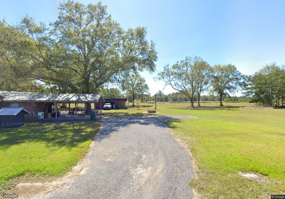
26701 Highway 613 Lucedale, MS 39452
Estimated Value: $168,000 - $310,000
About This Home
This home is located at 26701 Highway 613, Lucedale, MS 39452 and is currently estimated at $229,611, approximately $134 per square foot. 26701 Highway 613 is a home located in Jackson County with nearby schools including East Central Lower Elementary School, East Central Upper Elementary School, and East Central Middle School.
Ownership History
We collect this data history from publicly available records. To have your information removed, we recommend requesting removal directly through your county’s website.
Purchase Details
Purchase Details
Home Financials for this Owner
Home Financials are based on the most recent Mortgage that was taken out on this home.Purchase History
We collect this data history from publicly available records. To have your information removed, we recommend requesting removal directly through your county’s website.
| Date | Buyer | Sale Price | Title Company |
|---|---|---|---|
| -- | -- | ||
| -- | Pilger Title |
Mortgage History
We collect this data history from publicly available records. To have your information removed, we recommend requesting removal directly through your county’s website.
| Date | Status | Borrower | Loan Amount |
|---|---|---|---|
| Previous Owner | $129,562 |
Tax History
We collect this data history from publicly available records. To have your information removed, we recommend requesting removal directly through your county’s website.
| Year | Tax Paid | Tax Assessment Tax Assessment Total Assessment is a certain percentage of the fair market value that is determined by local assessors to be the total taxable value of land and additions on the property. | Land | Improvement |
|---|---|---|---|---|
| 2025 | $1,075 | $11,571 | $1,558 | $10,013 |
| 2024 | $1,075 | $9,758 | $1,515 | $8,243 |
| 2023 | $871 | $9,758 | $1,515 | $8,243 |
| 2022 | $838 | $9,758 | $1,515 | $8,243 |
| 2021 | $845 | $9,822 | $1,515 | $8,307 |
| 2020 | $780 | $8,941 | $1,403 | $7,538 |
| 2019 | $768 | $8,941 | $1,403 | $7,538 |
| 2018 | $789 | $8,941 | $1,403 | $7,538 |
| 2017 | $808 | $8,941 | $1,403 | $7,538 |
| 2016 | $725 | $8,613 | $1,090 | $7,523 |
| 2015 | $650 | $79,410 | $10,900 | $68,510 |
| 2014 | $633 | $7,941 | $1,090 | $6,851 |
| 2013 | $602 | $7,941 | $1,090 | $6,851 |
Map
- 74 +/- Ac Cowart Rd
- 5220 Cowart Rd
- 7345 Amberwood Ln
- 26301 Brooklyn Ln
- 6902 Tanner Williams Rd
- 0 Hwy 613 Unit 4108899
- 6819 Pinetop Rd
- 0 Tanner Williams Unit 4124647
- 6201 Wesley Powell Rd
- 6225 Wesley Powell Rd
- 6211 Wesley Powell Rd
- 0 Tanner Williams Rd -Parcel 1
- 26460 Billy Hinton Rd
- 125 Mulberry Dr
- 3183 Tannertown Rd Unit Lot 2
- 0 Ramie Farm Rd
- 24404 Superior Dr
- 24023 Robert e Lee Rd
- 2410 Timber Ln
- 24021 Superior Dr
- 1AC 1 Hubbard Homestead Unit Ac
- 0 Hubbard Homestead Rd Unit 3286296
- 1AC 1 Hubbard Homestead
- 5990 Hubbard Homestead Rd E
- 26717 Hubbard Homestead Rd E
- 6022 Hubbard Homestead Rd
- 26513 Highway 613
- 26517 Highway 613
- 26812 Mississippi 613
- 0 Hubbard Homestead Rd Unit 4014441
- 5801 Hubbard Homestead
- 6004 Cowart Rd
- 26507 Highway 613
- 6000 Cowart Rd
- 6012 Cowart Rd
- 26900 Highway 613
- 26901 Highway 613
- 1108 Cowart Rd
- 26800 Highway 613
- 26800 Highway 613
Ask me questions while you tour the home.