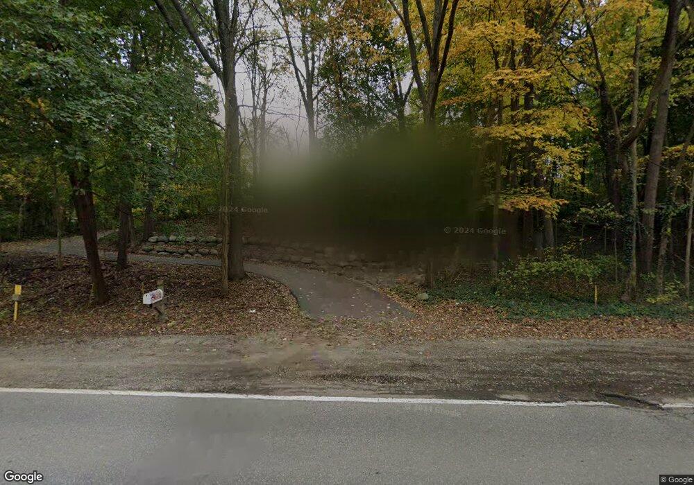
26737 W 13 Mile Rd Unit Bldg-Unit Franklin, MI 48025
Estimated Value: $739,619 - $795,000
4
Beds
3
Baths
3,100
Sq Ft
$247/Sq Ft
Est. Value
About This Home
This home is located at 26737 W 13 Mile Rd Unit Bldg-Unit, Franklin, MI 48025 and is currently estimated at $764,405, approximately $246 per square foot. 26737 W 13 Mile Rd Unit Bldg-Unit is a home located in Oakland County with nearby schools including Wylie E. Groves High School, West Maple Elementary School, and Berkshire Middle School.
Ownership History
Date
Name
Owned For
Owner Type
Purchase Details
Closed on
Aug 13, 2018
Sold by
Freedman Eric W and Freedman Julia
Bought by
Barron Matthew J and Caille Catherine M
Current Estimated Value
Purchase Details
Closed on
Oct 31, 2013
Sold by
Freedman Eric W and Freedman Julia
Bought by
Freedman Eric W and Freedman Julia
Create a Home Valuation Report for This Property
The Home Valuation Report is an in-depth analysis detailing your home's value as well as a comparison with similar homes in the area
Home Values in the Area
Average Home Value in this Area
Purchase History
| Date | Buyer | Sale Price | Title Company |
|---|---|---|---|
| Barron Matthew J | $435,000 | Bankers Title Settlement | |
| Freedman Eric W | -- | None Available |
Source: Public Records
Tax History Compared to Growth
Tax History
| Year | Tax Paid | Tax Assessment Tax Assessment Total Assessment is a certain percentage of the fair market value that is determined by local assessors to be the total taxable value of land and additions on the property. | Land | Improvement |
|---|---|---|---|---|
| 2024 | $7,833 | $281,500 | $0 | $0 |
| 2023 | $7,427 | $247,920 | $0 | $0 |
| 2022 | $8,174 | $247,620 | $0 | $0 |
| 2021 | $8,140 | $236,020 | $0 | $0 |
| 2020 | $6,946 | $234,660 | $0 | $0 |
| 2019 | $7,795 | $277,130 | $0 | $0 |
| 2018 | $7,686 | $256,100 | $0 | $0 |
| 2017 | $8,553 | $256,100 | $0 | $0 |
| 2016 | $7,974 | $246,260 | $0 | $0 |
| 2015 | -- | $209,700 | $0 | $0 |
| 2014 | -- | $177,180 | $0 | $0 |
| 2011 | -- | $202,410 | $0 | $0 |
Source: Public Records
Map
Nearby Homes
- 31145 Woodside Dr
- Sequoia Plan at Hills of Franklin
- Hickory Plan at Hills of Franklin
- 30714 Franklin Hills Ct
- 26377 Willowgreen Dr
- 30609 Inkster Rd
- 30486 S Greenbriar Rd
- 26565 Scenic Hwy
- 27735 13 Mile Rd
- 26075 Woodlore Rd
- 0000 Inkster Rd
- 31050 Briarcliff Rd
- 26910 W 12 Mile Rd Unit 6
- 25265 Canterbury Rd
- 25559 Farmbrook Rd
- 32620 Inkster Rd
- 25325 Devon Ln
- 29202 Bradmoor Ct
- 25330 Devon Ln
- 32696 Ravine Dr
- 26737 W Thirteen Mile Rd
- 26737 W 13 Mile Rd
- 26705 W 13 Mile Rd
- 30760 N Greenbriar Rd
- 30950 Woodside Dr
- 30780 N Greenbriar Rd
- 26675 W 13 Mile Rd
- 30708 N Greenbriar Rd
- 26741 Crestwood Dr
- 30781 N Greenbriar Rd
- 26800 W 13 Mile Rd
- 30765 Adair Ct
- 30715 N Greenbriar Rd
- 30875 Woodside Dr
- 30700 N Greenbriar Rd
- 30951 Woodside Dr
- 31040 Crestwood Dr
- 30795 Adair Ct
- 30795 Woodside Dr
- 30706 Woodside Dr