2675 Cole Rd Winston Salem, NC 27107
Estimated Value: $169,462 - $200,000
2
Beds
1
Bath
1,438
Sq Ft
$128/Sq Ft
Est. Value
About This Home
This home is located at 2675 Cole Rd, Winston Salem, NC 27107 and is currently estimated at $183,866, approximately $127 per square foot. 2675 Cole Rd is a home located in Forsyth County with nearby schools including Hall-Woodward Elementary School, Philo-Hill Magnet Academy, and R.B. Glenn High School.
Ownership History
Date
Name
Owned For
Owner Type
Purchase Details
Closed on
Dec 13, 2018
Sold by
Hayes Kenneth L
Bought by
Kennington Margaret Andrea Harvin
Current Estimated Value
Purchase Details
Closed on
Dec 17, 2007
Sold by
Wade G Scott and Wade Eugenia R
Bought by
Hayes Kenneth L
Home Financials for this Owner
Home Financials are based on the most recent Mortgage that was taken out on this home.
Original Mortgage
$59,400
Interest Rate
6.21%
Mortgage Type
Purchase Money Mortgage
Purchase Details
Closed on
Sep 30, 2002
Sold by
Whitley Maude R and Shoaf Jo Ann
Bought by
Wade Scott and Wade Eugenia R
Home Financials for this Owner
Home Financials are based on the most recent Mortgage that was taken out on this home.
Original Mortgage
$45,000
Interest Rate
6.21%
Create a Home Valuation Report for This Property
The Home Valuation Report is an in-depth analysis detailing your home's value as well as a comparison with similar homes in the area
Home Values in the Area
Average Home Value in this Area
Purchase History
| Date | Buyer | Sale Price | Title Company |
|---|---|---|---|
| Kennington Margaret Andrea Harvin | $234,500 | None Available | |
| Hayes Kenneth L | $66,000 | None Available | |
| Wade Scott | $45,000 | -- |
Source: Public Records
Mortgage History
| Date | Status | Borrower | Loan Amount |
|---|---|---|---|
| Previous Owner | Hayes Kenneth L | $59,400 | |
| Previous Owner | Wade Scott | $45,000 |
Source: Public Records
Tax History Compared to Growth
Tax History
| Year | Tax Paid | Tax Assessment Tax Assessment Total Assessment is a certain percentage of the fair market value that is determined by local assessors to be the total taxable value of land and additions on the property. | Land | Improvement |
|---|---|---|---|---|
| 2025 | $969 | $102,300 | $51,000 | $51,300 |
| 2024 | $969 | $72,400 | $37,100 | $35,300 |
| 2023 | $969 | $72,400 | $37,100 | $35,300 |
| 2022 | $951 | $72,400 | $37,100 | $35,300 |
| 2021 | $934 | $72,400 | $37,100 | $35,300 |
| 2020 | $903 | $65,400 | $22,800 | $42,600 |
| 2019 | $910 | $65,400 | $22,800 | $42,600 |
| 2018 | $864 | $65,400 | $22,800 | $42,600 |
| 2016 | $791 | $60,093 | $22,770 | $37,323 |
| 2015 | $779 | $60,093 | $22,770 | $37,323 |
| 2014 | $755 | $60,093 | $22,770 | $37,323 |
Source: Public Records
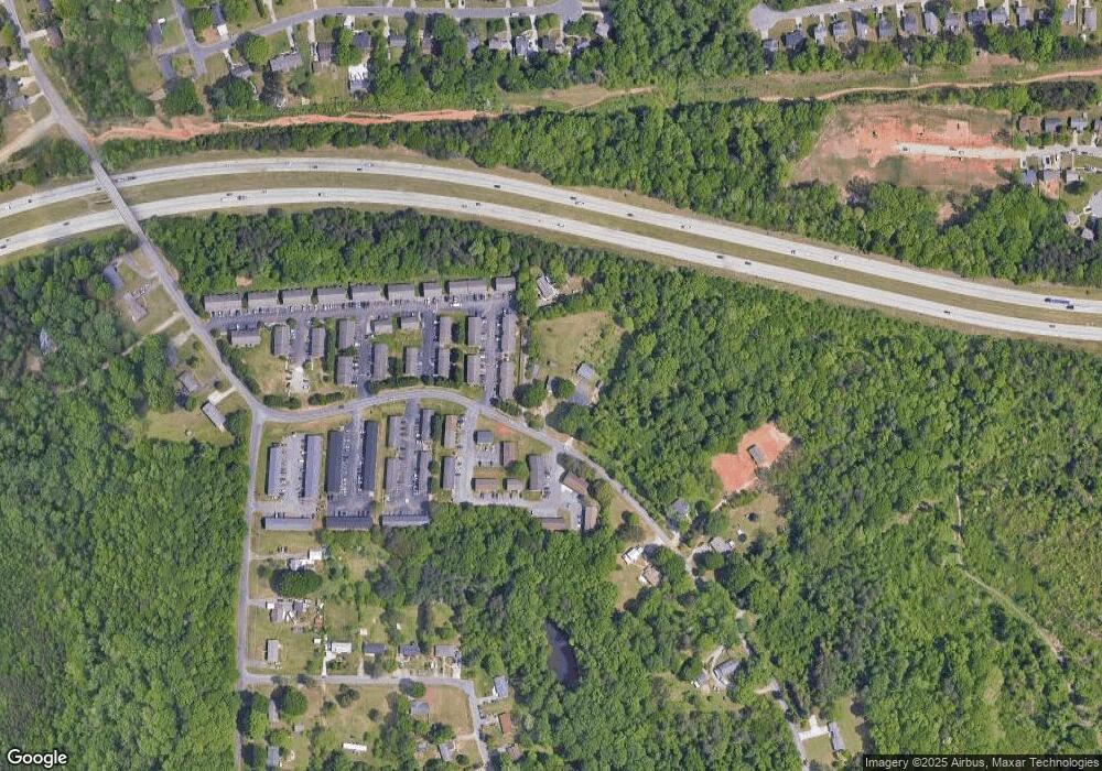
Map
Nearby Homes
- 2919 Susan Ln
- 2922 Poinsetta Dr
- 2830 Frank St
- 0 Green Point Rd
- 3514 Landis St SE
- 3520 Landis St SE
- 3532 Landis St SE
- 3538 Landis St SE
- 3544 Landis St SE
- 2647 Reid St
- 2709 Reid St
- 2643 Reid St
- 3422 Robindale Dr
- Ashe Plan at Robindale
- Erie Plan at Robindale
- Camden Plan at Robindale
- Durham Plan at Robindale
- Avery Plan at Robindale
- Cary Plan at Robindale
- Carolina Plan at Robindale
- 2685 Cole Rd
- 2695 Cole Rd
- 2665 Cole Rd
- 826 Meadow Ridge Ct
- 809 Meadow Ridge Ct Unit 809
- 804 & 818 Meadow Ridge Ct
- 828 Meadow Ridge Ct Unit 104r
- 828 Meadow Ridge Ct
- 818 Meadow Ridge Ct Unit 818 A-F
- 818 Meadow Ridge Ct Unit B
- 818 Meadow Ridge Ct
- 0 Pepper Ct
- 2730 Pepper Ct Unit F
- 2715 Cole Rd
- 2720 Cole Rd
- 0 Cole Rd
- 2725 Cole Rd
- 2607 Cole Rd
- 2923 Susan Ln
- 2735 Cole Rd